UK weather – live: Yellow weather warning issued as Met Office forecast return of snow
Cold snap predicted for week ahead as February takes a chilly turn
Your support helps us to tell the story
From reproductive rights to climate change to Big Tech, The Independent is on the ground when the story is developing. Whether it's investigating the financials of Elon Musk's pro-Trump PAC or producing our latest documentary, 'The A Word', which shines a light on the American women fighting for reproductive rights, we know how important it is to parse out the facts from the messaging.
At such a critical moment in US history, we need reporters on the ground. Your donation allows us to keep sending journalists to speak to both sides of the story.
The Independent is trusted by Americans across the entire political spectrum. And unlike many other quality news outlets, we choose not to lock Americans out of our reporting and analysis with paywalls. We believe quality journalism should be available to everyone, paid for by those who can afford it.
Your support makes all the difference.The Met Office has issued a fresh weather warning over the weekend as the UK braces for another spell of snow next week.
The yellow weather warning for rain is expected to affect areas in western Scotland from Sunday at 6pm until 9pm on Monday - bringing travel disruption, power cuts and flooding.
It comes as experts warned that snow will fall in Scotland and even potentially down south as cold air dubbed the “Troll from Trondheim” makes its way over the country from Norway.
Jim Dale, Senior Meteorological Consultant at British Weather Services told The Independent: “We haven’t got to end of winter yet and next week will be colder. There will be snow in Scotland and the north and potentially in the south.”
In its long-range forecast, the Met Office has also said there will be some hill snow over the weekend and that “there is a chance colder conditions could start to feature” in the second week of February.
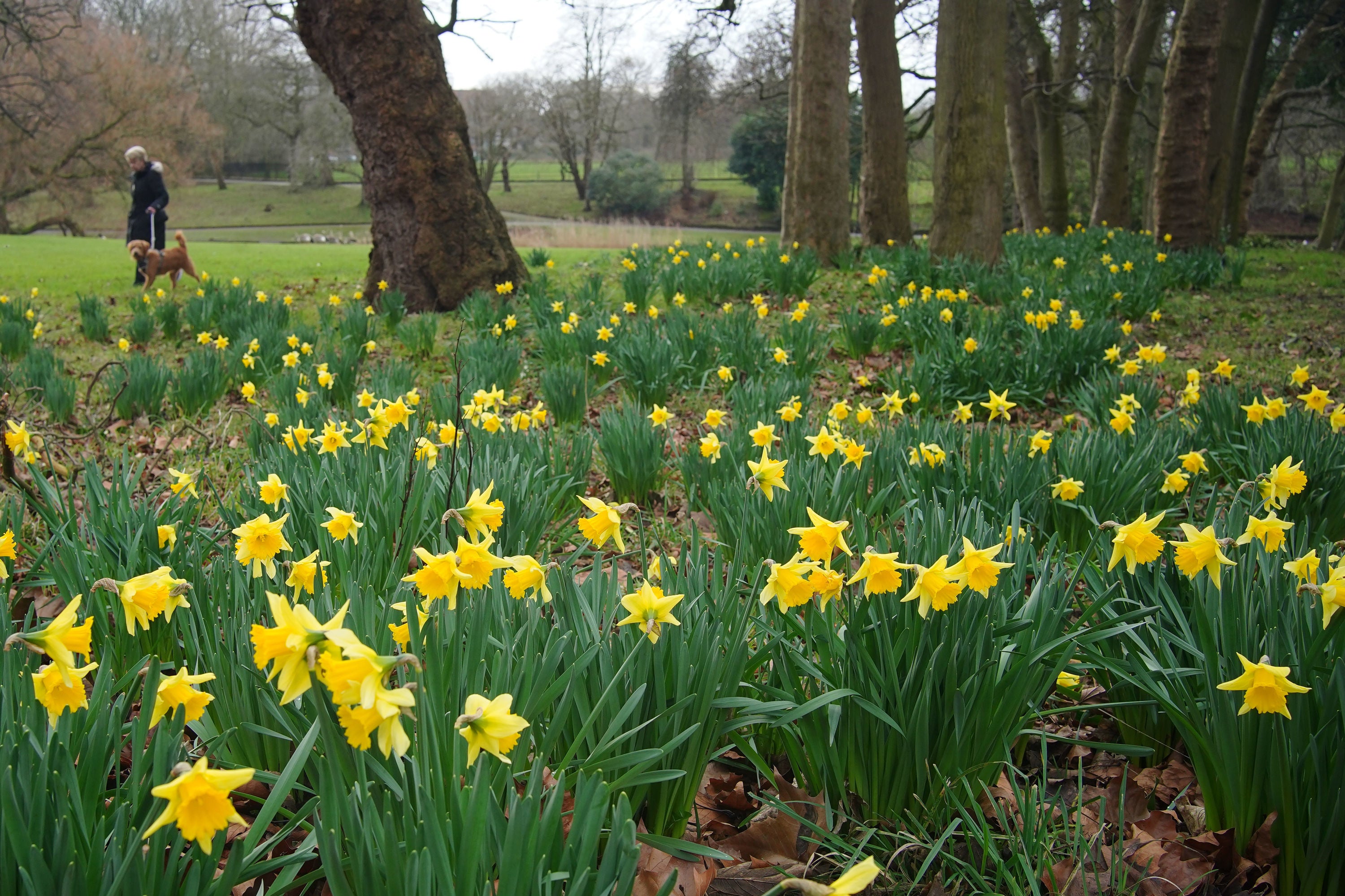
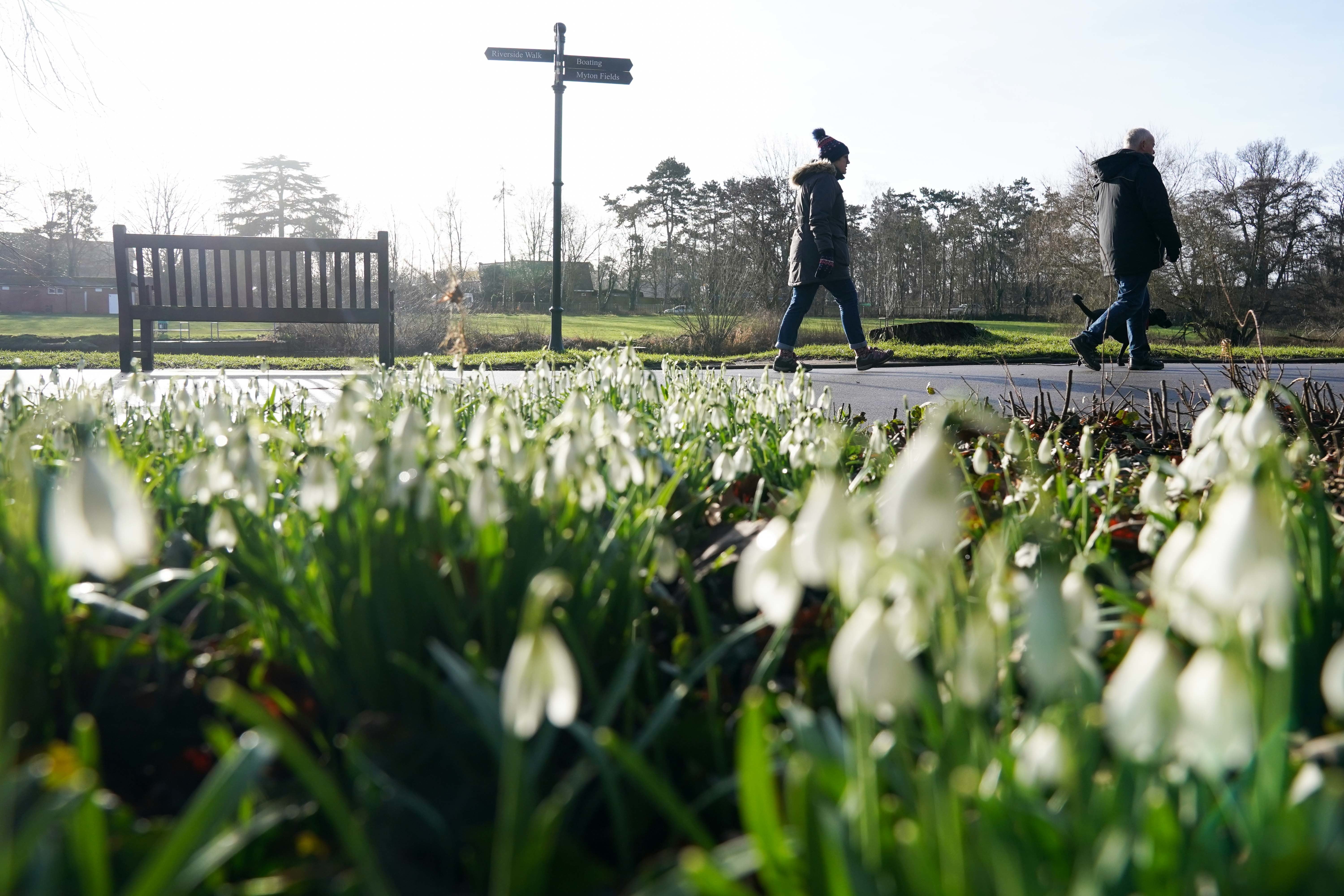
Latest weather pictures - glimpses of spring on sunny Thursday morning
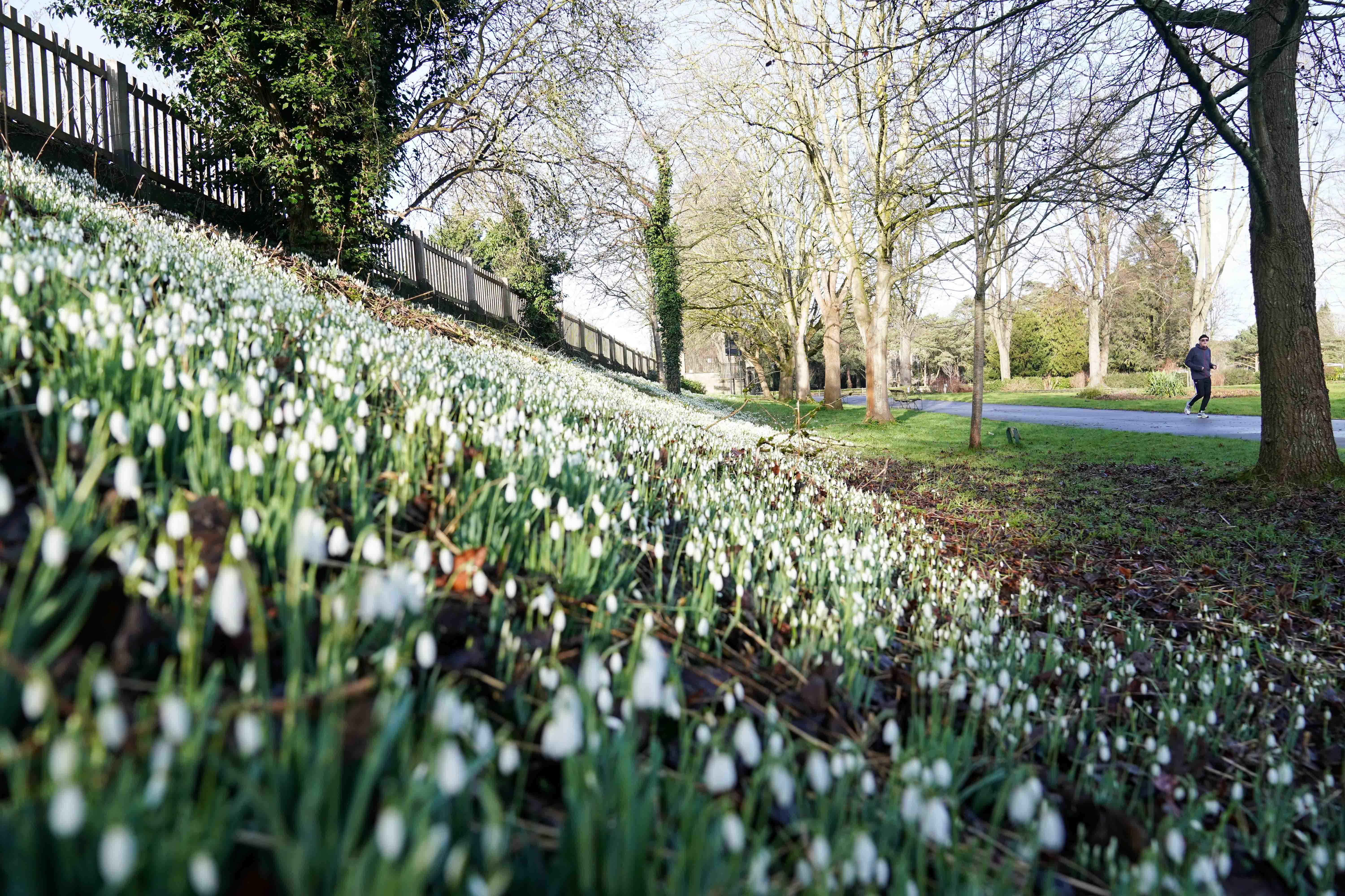
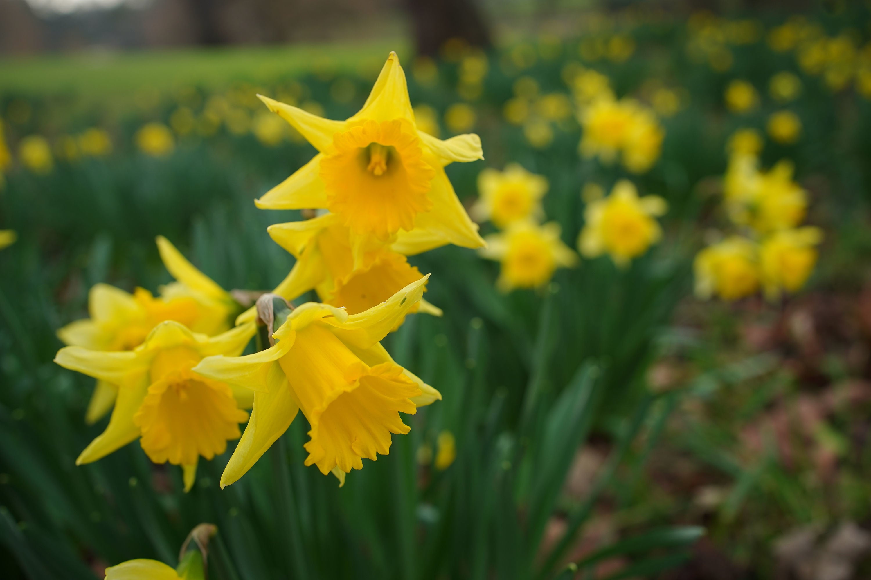

Met Office’s summary of January weather
The Met Office has dubbed the first month of the year a “month of contrast”.
January brought the UK three named storms, a significant spell of cold, wintry weather and finally a new UK daily maximum temperature record for January.
The forecasters said that temperatures and rainfall amounts varied throughout the month, with mild and wet weather interrupted by a cold and dry spell from the second week of January, albeit with some significant snow for northern areas of the UK.
Overall, this means that the average mean temperature for the UK for January 2024 is near average according to provisional Met Office figures. UK mean temperatures ended the month at 3.8°C, around 0.1°C lower than the long-term average for the month.
Met Office Senior Scientist Mike Kendon said: “Overall, the UK temperature and rainfall for January were fairly near average but these belie the fact that the weather has never been too far away from the headlines. Storms Henk, Jocelyn and Isha all brought significant impacts, as did the cold and snowy conditions around the middle of the month.”
Tonight’s weather forecast
As Britain prepares to be hit with more snow next week, here’s what to expect tonight, according to the Met Office:
“Cloud increasing from the west overnight, bringing hill fog and outbreaks of rain to northern and western areas, locally heavy at first in the far north. Briefly chilly under clear spells in the southeast. Turning windy, especially in the north.”
Snow expected next week
Following a relatively mild end to January, experts have warned that snow will return to the UK next week as temperatures plummet to -8C in some areas.
Jim Dale, Senior Meteorological Consultant at British Weather Services told The Independent: “We haven’t got to the end of winter yet and next week will be colder. There will be snow in Scotland and the north and potentially in the south.”
According to WXCharts, an interactive weather map provider using Met Office data, the UK will be coldest on 10 February, with certain areas of Scotland and Wales seeing minimum temperatures dropping to -8C.
The maps predict widespread snow cover with 2cm of snow falling per hour at its peak.
In its long-range forecast, the Met Office has also said there will be some hill snow over the weekend and that “there is a chance colder conditions could start to feature” in the second week of February.

Earthquake hits parts of UK as locals left fearing ‘car hit house’
An earthquake has struck parts of the UK, leaving locals fearing a car had crashed into their house.
The British Geological Survey (BGS) said the 3.3 magnitude quake hit the Isle of Mull in the Inner Hebrides at 7.30pm on Monday.
It said movement was felt on Mull itself, on surrounding islands and on the mainland, mainly from within around 50km of the epicentre, which was in the north west of the island.

Earthquake hits parts of UK as locals left fearing ‘car hit house’
British Geological Survey says 3.3 magnitude quake hit Isle of Mull in Scotland on Monday evening
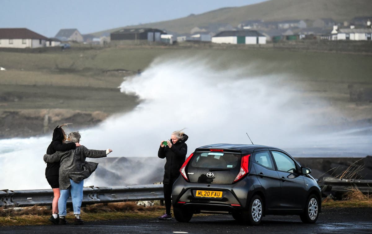
In pictures: Huge waves in the Shetland Islands
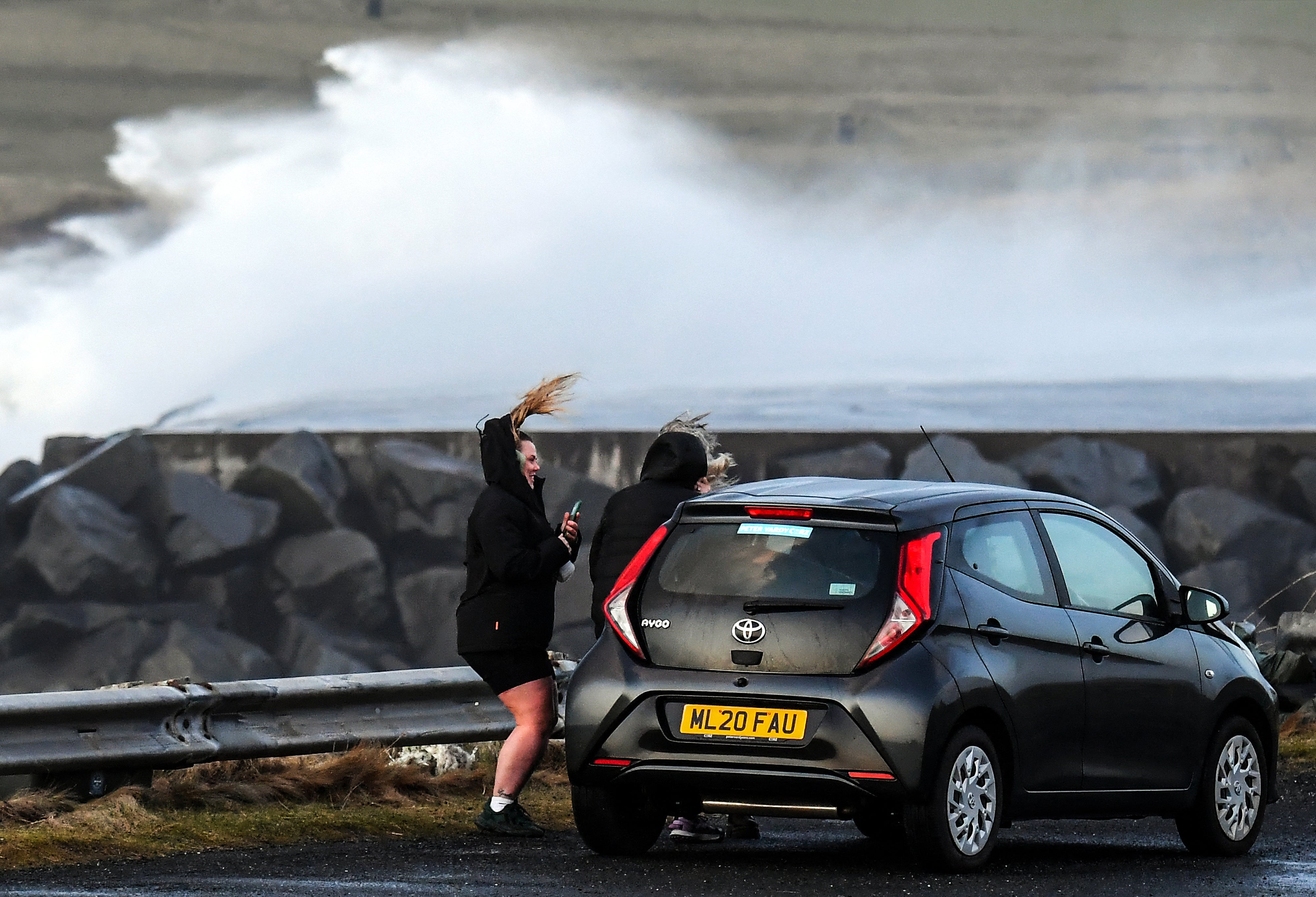
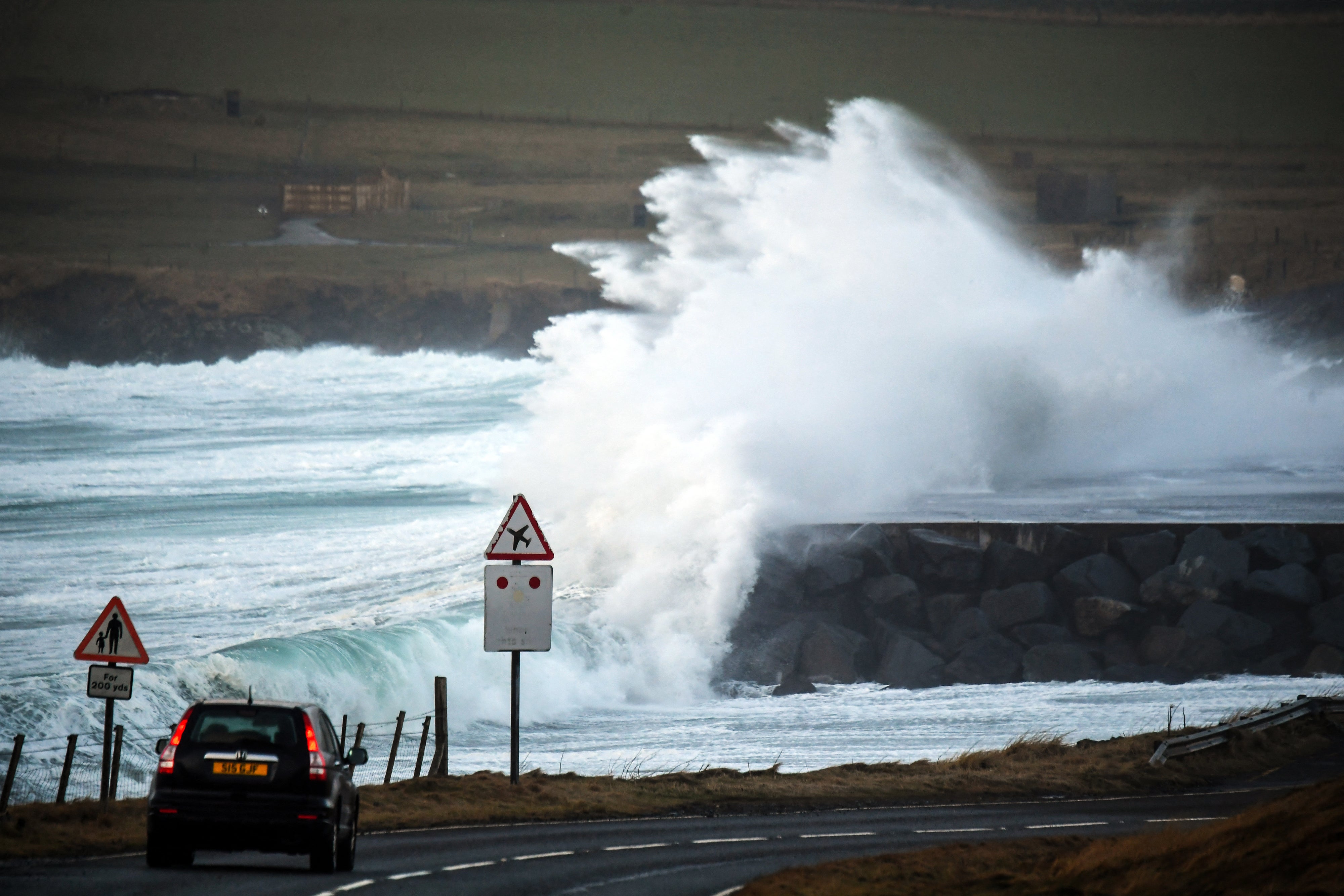
Weather experts have warned that the UK is likely facing its stormiest winter on record as the country has already faced ten named storms with over half of the season still to go.
The storm season begins each year in September and there are usually around six or seven storms in that year.
Since storm naming was introduced in 2015 the furthest through the list the group has got is to number 11, Storm Katie, which impacted the UK in March 2016.
Jim Dale, senior meteorological consultant at British Weather Services, warned the effects of these storms will only get worse alongside climate change.
Experts explain extreme weather as UK prepares for stormiest winter on record
There have been ten named storms already this year with over half of the season left to go

Join our commenting forum
Join thought-provoking conversations, follow other Independent readers and see their replies
Comments