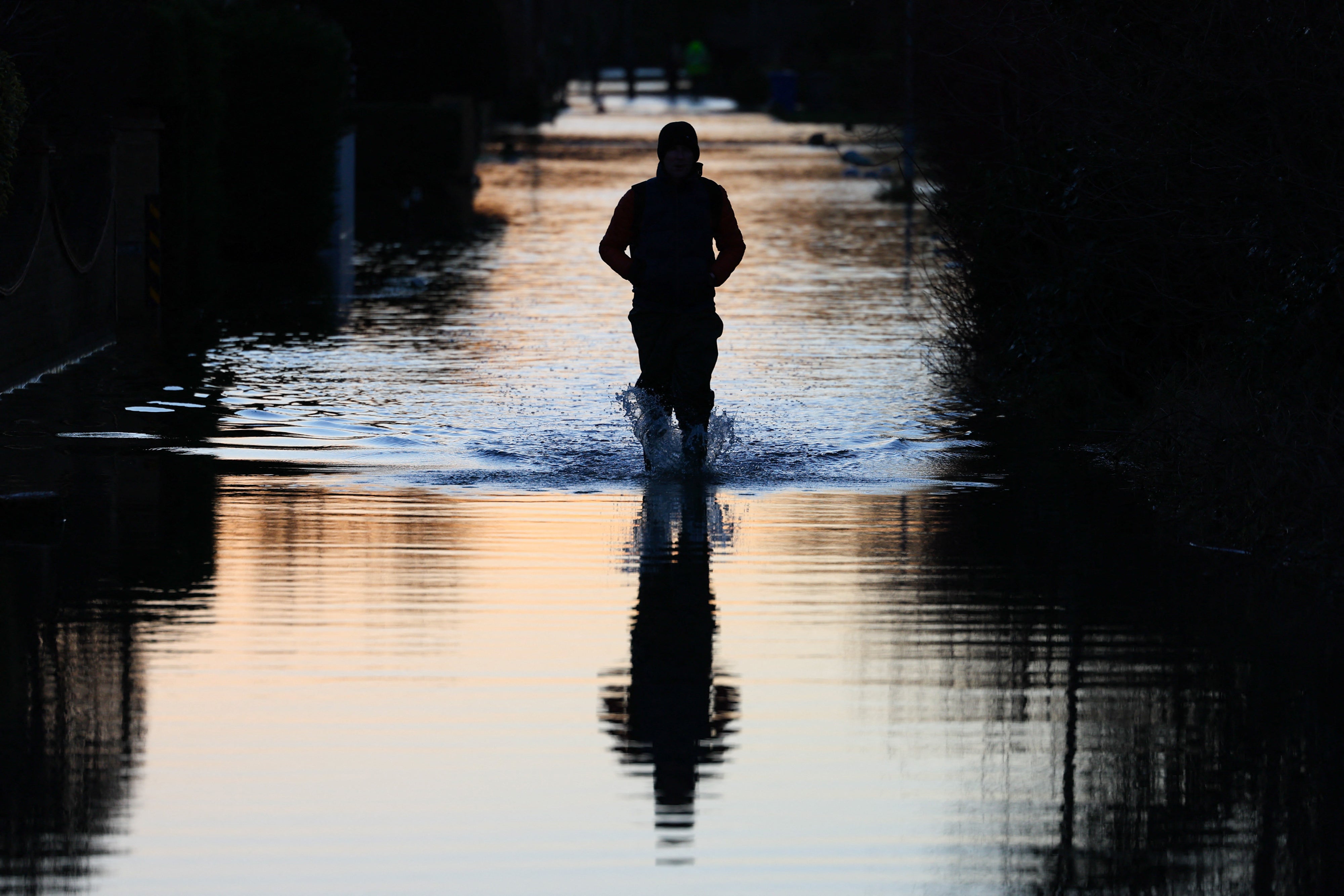
UK weather: Met Office issues yellow weather warnings as England braces for flooding and travel chaos
Warmest Valentine’s Day on record for UK as temperature reaches 16C
Your support helps us to tell the story
From reproductive rights to climate change to Big Tech, The Independent is on the ground when the story is developing. Whether it's investigating the financials of Elon Musk's pro-Trump PAC or producing our latest documentary, 'The A Word', which shines a light on the American women fighting for reproductive rights, we know how important it is to parse out the facts from the messaging.
At such a critical moment in US history, we need reporters on the ground. Your donation allows us to keep sending journalists to speak to both sides of the story.
The Independent is trusted by Americans across the entire political spectrum. And unlike many other quality news outlets, we choose not to lock Americans out of our reporting and analysis with paywalls. We believe quality journalism should be available to everyone, paid for by those who can afford it.
Your support makes all the difference.Parts of England are bracing for intensifying rainfall on Thursday that can lead to flooding and travel disruptions as the Met Office issues yellow weather warnings.
A stronger spell of rain is set to affect parts of England from Thursday afternoon until Friday morning, which can potentially lead to some disruptions, the forecaster says.
A yellow warning for rain is in place starting from 11am until midnight, covering parts of Southwest England, including Cardiff and Plymouth.

Another warning is issued for the East Midlands, covering Leicester, starting from 2pm on Thursday until 3am Friday.
Up to 15-20mm rain is expected widely with 30-40mm expected to fall over higher grounds. The rainfall can lead to travel disruptions like delays in bus and train services and some flooding, the forecaster warned.
The weather is expected to stay “generally cloudy” for most people throughout Thursday with rainfall heaviest and most persistent in the west. But temperatures are expected to rise further, giving a “taste of spring” for many, the Met Office says.
While Southwest is bracing for heavy rains, southern and southeastern parts of England can expect some “bright or even sunny spells”, with some brightness also possible in Northern Ireland.
“The position of the jet stream has led to some very mild air pushing in across the UK, which is why it has been exceptionally mild recently,” Met Office meteorologist Alex Burkil said.
On Valentine’s Day, temperatures reached 16C, close to being the warmest Valentine’s Day on record for the UK, and the warmest day of the year so far.
Temperatures were 6 to 10C above the mid-February average for many. But Scotland remained colder than average, with a start 13C difference in temperatures, with 3.8C in Braemar, Scotland and 16.6C in Hereford, England.
The temperatures will continue to stay mild for most parts, except the north. On Thursday, mercury will be in double digits throughout England with East Midlands expected to reach up to 17 degrees Celsius.
Much of the UK is expected to see a pretty mild end to the week and the start of next week as well. But rainfall will begin clearing on Friday, with brighter weather developing as the day progresses.


Join our commenting forum
Join thought-provoking conversations, follow other Independent readers and see their replies
Comments