Flood alerts issued in England as rain sweeps across UK marking end to heatwave
The heatwave is over but much of the UK will still enjoy warm temperatures, although many areas should expect patches of rain over the weekend
Your support helps us to tell the story
From reproductive rights to climate change to Big Tech, The Independent is on the ground when the story is developing. Whether it's investigating the financials of Elon Musk's pro-Trump PAC or producing our latest documentary, 'The A Word', which shines a light on the American women fighting for reproductive rights, we know how important it is to parse out the facts from the messaging.
At such a critical moment in US history, we need reporters on the ground. Your donation allows us to keep sending journalists to speak to both sides of the story.
The Independent is trusted by Americans across the entire political spectrum. And unlike many other quality news outlets, we choose not to lock Americans out of our reporting and analysis with paywalls. We believe quality journalism should be available to everyone, paid for by those who can afford it.
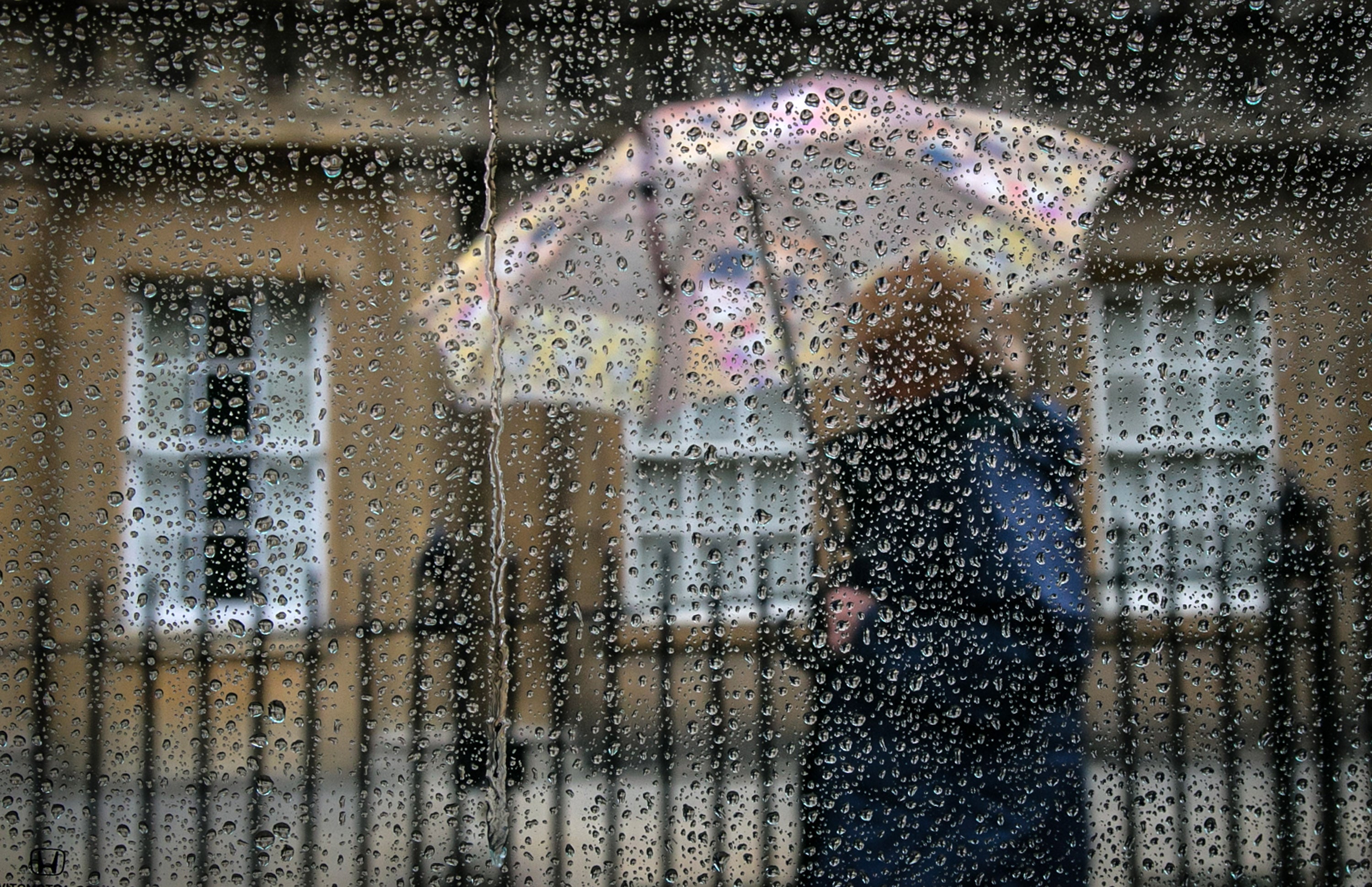
Your support makes all the difference.Flood alerts have been issued in England following a night of heavy showers on Thursday, as changeable weather returns to the UK.
Parts of the country will see persistent rain into the weekend as the summer heatwave gradually subsides in favour of cooler weather.
The Environment Agency has issued two flooding alerts for Upper River Loddon in southwest England and River Eden and Eden Brook in Kent, an indication that flooding is possible but not certain.
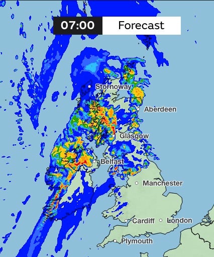
27 flood alerts issued in the past few days were removed in the last 24 hours - but the wet weather will continue in areas through Friday night.
Met Office spokesperson Craig Snell said we will see a “band of cloud and rain” move from Scotland and Northern Ireland towards the South East through Friday night and Saturday.
“Ahead of this it will be another warm and humid night but feeling fresher behind this band of cloud and rain,” he added.
“The area of cloud and rain will continue to move southeastwards on Saturday with the rain tending to be more showery but there will be a potential for some heavier bursts of rain across East Anglia and southeast England during the afternoon.”
Saturday is likely to see fresher, less humid weather in the north with “scattered showers” expected across Northern Ireland and Scotland.
The weekend will see “temperatures dip back towards average for the time of year for many but will also open the door to some more persistent rain into northwestern areas in the coming days”, chief meteorologist Andy Page said.
Mr Snell said Sunday will be a “largely dry and bright day for many, but there will be some showers across the North and later in the day it will turn wetter and breezy across western Scotland and Northern Ireland”.
While much of England and Wales will remain dry, heavy showers are possible in southern and eastern England and short showers are possible in western and northern Scotland and Northern Ireland.
But rain will become more persistent for the northwestern side of the UK, including Northern Ireland and northwest England, with a “slow-moving” band of rain with some “heavier bursts” expected into Monday.
Intense overnight showers from Sunday through to Monday could dump almost a month’s worth of rain on parts of Scotland and northern England in just hours according to Met Office weather maps, which indicate there could be more than 32mm of rain.
Southern and eastern areas in England and Wales will remain largely dry into Sunday, but the “changeable” and “unsettled” weather will drift from the North West to the South West early next week.
Before the rain reaches the South East, temperatures are expected to be warm and humid once again with the chance of some thunderstorms.
Join our commenting forum
Join thought-provoking conversations, follow other Independent readers and see their replies
Comments