UK weather warning: ‘Plume of thunderstorms’ moves into England as flooding possible
Follow events as they happened
Your support helps us to tell the story
From reproductive rights to climate change to Big Tech, The Independent is on the ground when the story is developing. Whether it's investigating the financials of Elon Musk's pro-Trump PAC or producing our latest documentary, 'The A Word', which shines a light on the American women fighting for reproductive rights, we know how important it is to parse out the facts from the messaging.
At such a critical moment in US history, we need reporters on the ground. Your donation allows us to keep sending journalists to speak to both sides of the story.
The Independent is trusted by Americans across the entire political spectrum. And unlike many other quality news outlets, we choose not to lock Americans out of our reporting and analysis with paywalls. We believe quality journalism should be available to everyone, paid for by those who can afford it.
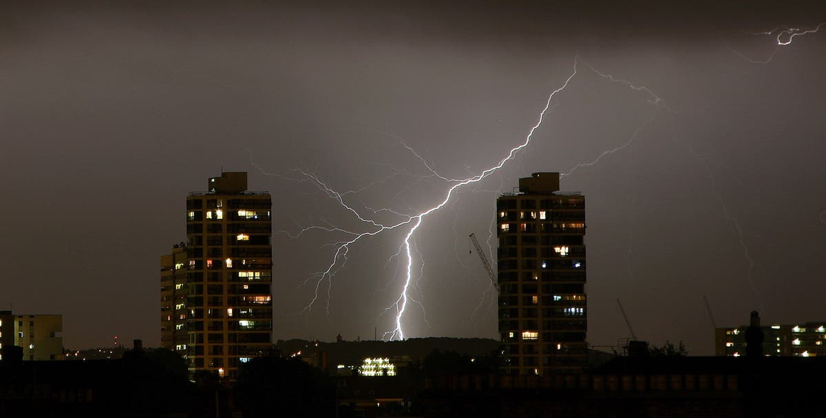
Your support makes all the difference.Large parts of the UK were under yellow weather warnings as a “plume of thunderstorms” moved into the country from across the English Channel.
Forecasters have predicted parts of England could see flooding and power cuts over the next few days amid the bad weather, which has seen weather warnings put in place for southeast and central England throughout most of Thursday.
A Met Office spokesperson said parts of East Anglia, the Midlands and the South East could be drenched with up to 50mm of rain in just two hours on Thursday, and up to 70mm on Friday.
“The storms will most likely be coming in on Thursday afternoon and lasting into the evening,” they said.
It came after forecasters said there was a possibility that Wednesday would be the hottest day of the year but the sun did not deliver.
UK could see hottest day of the year
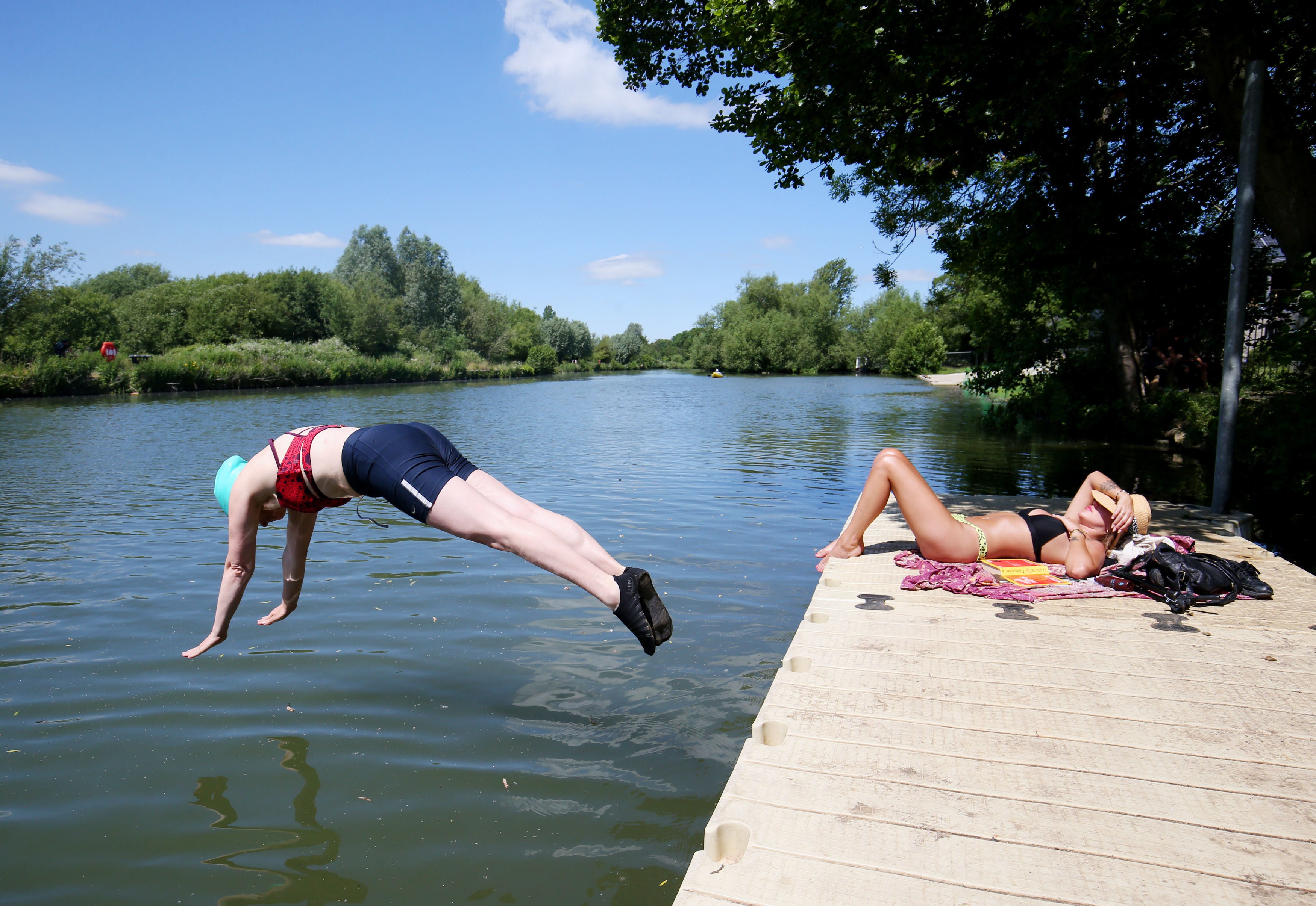
Britain could enjoy the hottest day of the year so far before the weather turns this evening.
London could see temperatures as high as 30C, while Cardiff could reach 22C as fans watch Wales take on Turkey in the Euros.
In northern England, Sheffield could see a peak of 26C, while Newcastle may match Cardiff at 22C.
Scotland will remain cooler, though temperatures are expected to push into the high teens.
Weather warnings in place through Saturday
The Met Office extended weather warnings for thunderstorms through to Saturday for large parts of the UK.
A Yellow warning for potential damage to homes and businesses from flooding, lightning and hail covers England from Plymouth up to Hartlepool and most of southeast and east Wales on Wednesday and Thursday.
By Friday, the warning area will shrink to mostly only cover England with the east and southeast-most parts of Wales still affected. Devon and Cornwall will also be free from the warning by Friday, as will the northwest of England and North and West Yorkshire.
Month of rain could fall within hours
A month’s worth of rain could fall within hours in the coming storms, according to the Met Office.
Between Wednesday evening and Friday morning, around 30mm of rain could fall within an hour, with the Met Office warning that some areas could potentially see 50mm over a period of 2 to 3 hours.
On Friday morning another spell of “thundery rain” is expected to push north across England and east Wales, with up to 60mm of rain, just short of the average for the whole of June, falling over a 12-hour period.
What have forecasters said?
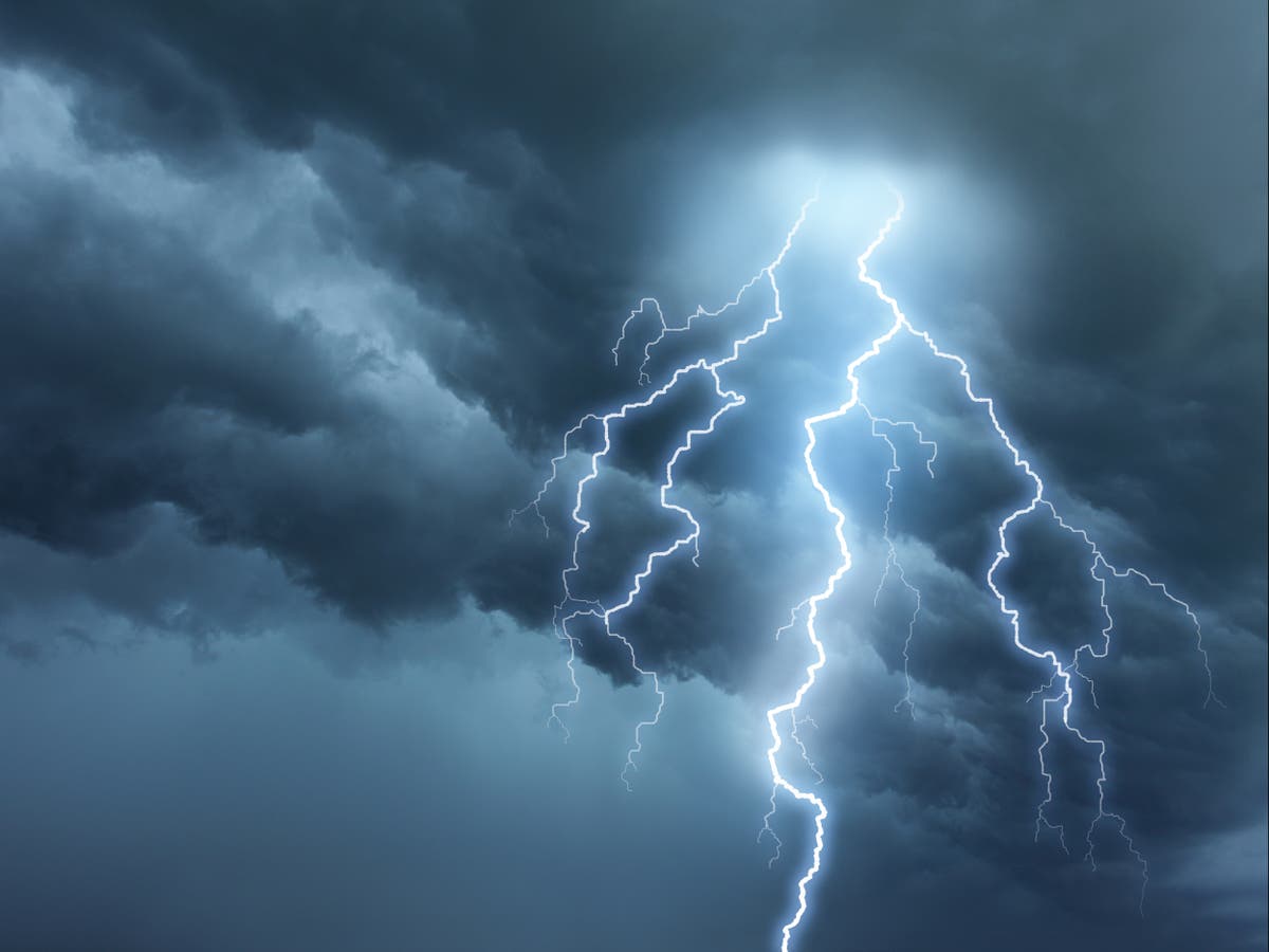
- Clare Nasir, a Met Office forecaster, said: “There is risk of lightning, thunder, hail, and where you see any really heavy bursts, some strong and gusty winds. They transfer their way northward across the Midlands, East Anglia, up to the northeast of England.” She added: “The risk of thunderstorms continues as we head to the latter part of the working week and into the weekend.”
- Stephen Dixon, a Met Office spokesman, told the PA news agency: “Today will be fine for many with sunshine across England and Wales before an evening of thunderstorms which will last for the next few days. There’s a chance some areas in London could get to 30C today which would make it the hottest day of the year.”
- Simon Partridge, a Met Office forecaster, said: “There’s a good chance that we could see 30C temperatures just north of London and a small chance of seeing 31C. The heat will be very much concentrated in the southeast corner of the UK, with a cold front across more northern areas.
Fun in the sun (while it lasts)
Some photos from around the southeast of England as temperatures near their peak expected at around 4pm:


Weather round-up
You can read our round-up of today’s weather forecast here:

Heatwave to give way to thunderstorms and hail
Met Office has warned some areas could see strong winds, lightning, thunder and hail
Why do thunderstorms happen after hot weather?
The hot weather and humidity during a heatwave creates ideal conditions for thunderstorms.
According to the Met Office, thunderstorms develop when the atmosphere is unstable and there is moisture.
They often develop in the afternoon after the progressive heating during the early part of the day.
Chiara Giordano speaks to a weather expert about the forming of thunderstorms:

Why do thunderstorms happen after hot weather?
Forecasters are warning ‘intense’ thunderstorms are set to hit UK
Where are weather warnings in place?
The below map shows where the Met Office has Yellow weather warnings in place for today and tomorrow.
Warnings cover a massive area as you can see, but weather will not be uniform across the country. I am aiming to bring you some details for particular areas shortly (where heavy rain, lightning or hail expected, sites of potential flooding etc).
Southeast England set to see worst of weather
The incoming “plume of thunderstorms” is set to hit east and southeast England hardest, according to the Met Office.
Weather moving up from France poses most risk in Kent, London and East Anglia, but weather warnings will remain in place for much of the UK as the chance of dangerous weather still remains.
Alex Burkill, from the Met Office, told The Independent: “Thunderstorms will be frequent across southeast England overnight and heading into Thursday”
“Further northwest, the risk is much less severe, but not insignificant,” he said.
Heathrow hits 29C, hottest today so far
The hottest temperature recorded so far today is 29.2C, according to the Met Office.
The figure was recorded at Heathrow in London and is still 0.5C shy of the highest temperature recorded so far this year, which came yesterday at Teddington.

Join our commenting forum
Join thought-provoking conversations, follow other Independent readers and see their replies
Comments