UK weather – latest: Lightning and thunderstorm warning as heatwave continues
A rare amber weather alert has been issued for thunderstorms
Your support helps us to tell the story
From reproductive rights to climate change to Big Tech, The Independent is on the ground when the story is developing. Whether it's investigating the financials of Elon Musk's pro-Trump PAC or producing our latest documentary, 'The A Word', which shines a light on the American women fighting for reproductive rights, we know how important it is to parse out the facts from the messaging.
At such a critical moment in US history, we need reporters on the ground. Your donation allows us to keep sending journalists to speak to both sides of the story.
The Independent is trusted by Americans across the entire political spectrum. And unlike many other quality news outlets, we choose not to lock Americans out of our reporting and analysis with paywalls. We believe quality journalism should be available to everyone, paid for by those who can afford it.
Your support makes all the difference.The Met Office has warned that travel disruption and flooding are likely across parts of the UK on Monday as a rare amber weather alert is issued for thunderstorms.
Thunderstorms are expected to bring heavy rainfall, lightning, strong winds, and hail, according to the Met Office, which could cause power cuts and damage to buildings in affected areas.
The amber warning applies to parts of the east and west Midlands, and the east, southeast and southwest of England.
The warning will last until 7pm on Monday.
Forecasters said: “A cluster or line of very active thunderstorms is moving towards the northwest from Bedfordshire and Buckinghamshire towards the West Midlands.
“These will bring a period of exceptionally heavy rainfall with 30-40mm falling in around 30 minutes, perhaps around 60mm in an hour for some locations.”
It comes as a yellow weather warning was issued for large parts of England including London, Oxford, Nottingham, and Manchester, with further alerts for Scotland and Northern Ireland, as thunderstorms hit the UK.
The Environment Agency also issued 14 flood alerts across the Midlands.


ICYMI: Met Office on how long heatwave will last after hottest day of year
Very warm weather is set to continue across the majority of the UK this week after temperatures hit highs of 32C on Sunday, the hottest day of the year so far.
Temperatures went above 30C over the weekend in parts of the UK for the first time since August 2022, the Met Office said.
However, large parts of the UK face warnings for thunderstorms with lightning strikes and torrential downpours forecast on Monday.
Warm and muggy conditions are expected to continue into Tuesday for most, according to the Met Office. However, showers and thunderstorms are expected in western Scotland and Northern Ireland.
However, Tuesday will be “a warmer feeling day in southwest England and southwest Wales compared to today,” Deakin said.
“The outlook is for more clear skies and not as many heavy thundery showers,” he said.
Martha McHardy reports:

Met Office on how long heatwave will last after hottest day of year
Very warm weather is expected to continue over the coming weeks after the hottest day of the year was recorded this weekend
Worst of thunderstorms ‘has now passed,’ says Met Office meteorologist
The worst of thunderstorms “has now passed,” a Met Office meteorologist has said.
The Met Office has confirmed more settled weather can be expected heading into the rest of the week after parts of the UK were hit by thunderstorms.
An amber thunderstorm warning was issued on Monday as parts of UK were hit with heavy rain and strong winds, while roads were flooded around the country.
But Met Office forecaster and meteorologist Simon Partridge said the worst of the thunderstorms has now passed and drier weather is expected going into the latter parts of the week.
Very warm weather is set to continue across the majority of the UK this week after temperatures hit highs of 32C on Sunday, the hottest day of the year so far.
Warm and muggy conditions are expected on Tuesday for most, according to the Met Office. However, showers and thunderstorms are expected in western Scotland and Northern Ireland.
However, Tuesday will be “a warmer feeling day in southwest England and southwest Wales compared to today,” Deakin said.
“The outlook is for more clear skies and not as many heavy thundery showers,” he said.
Looking to the rest of the week, sunshine is expected to continue, according to the Met Office forecast.
Deakin said: “We’re going to lose some of the humidity. Temperatures just dropping down a touch, but still likely to get into the mid to high twenties, and nights becoming a little more comfortable, but only a little bit.”
Watch: Dark thunderstorm over West Midlands captured in time-lapse footage
Woman trapped in car due to floods in Wales
Bookshop owner Emma Corfield-Walters was briefly trapped in her car when a flash flood hit Crickhowell, Wales.
She told PA news agency: “The flooding was on the High Street in Crickhowell and happens every 2-3 years when we have a short heavy rain storm and the ground is hard and dry.
“The drains don’t cope and sadly the business at the bottom end of the High Street are flooded.
“As it’s an ongoing issue I’m at a loss to know why flood prevention measures haven’t been put in place or adapted.
“Water has entered The Britannia Pub and Grenfell and Sons which is a village store that sells everything. Both family run businesses.”
Sadiq Khan issues air pollution warning to London as heatwave continues
The Mayor of London has also issued a high air pollution warning to those in the capital, the second of the year, caused by high temperatures and pollution being carried over from the continent.
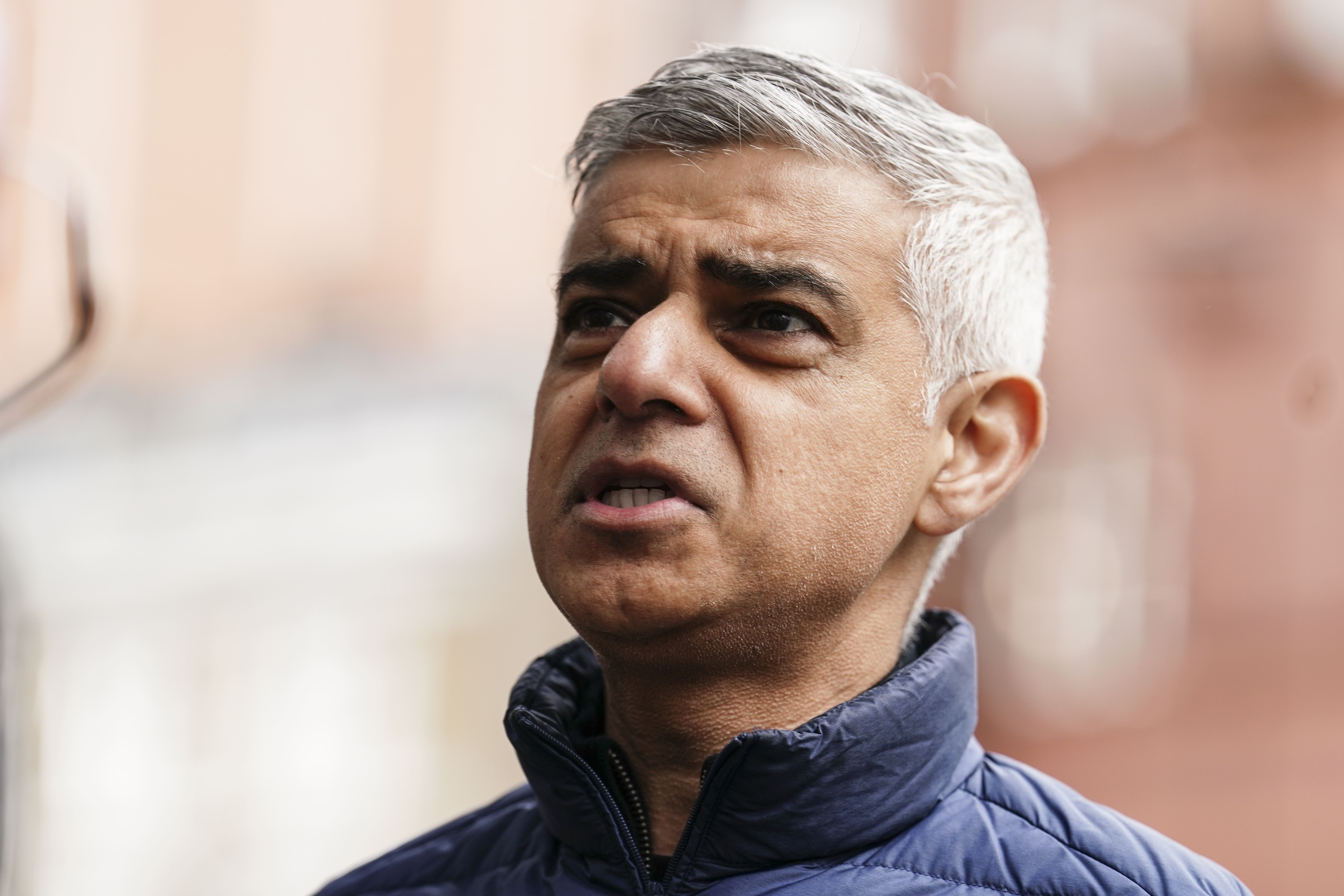
Sadiq Khan has asked people to do their part to stop themselves contributing to the pollution levels, adding: “Pollution and heat can be a dangerous combination, which is why I’m urging Londoners to look after themselves and each other by choosing to walk, cycle or take public transport, avoid unnecessary car journeys, stop their engines idling and refrain from burning wood or garden waste, all of which contribute to high levels of pollution.
“This is particularly important in order to protect those who are most vulnerable and help us to build a safer and greener London for all.”
Yellow weather warnings issued for Tuesday
The Met Office has issued yellow thunderstorm warnings for Tuesday to parts of western Scotland and Northern Ireland.
The warnings will be in place from 12pm to 9pm, with areas affected expected to see heavy rainfall, hail and thunderstorms.
However, Tuesday is expected to be another hot day across the UK as both London and Manchester are forecast to see highs of 28C during the day.
UK to return to dry, sunny weather after being hit by thunderstorms
The UK saw rain, hail and thunderstorms batter regions on Monday, but the Met Office has confirmed more settled weather can be expected heading into the rest of the week.
An amber thunderstorm warning was issued on Monday as parts of UK were hit with heavy rain and strong winds, while roads were flooded around the country.
But Met Office forecaster and meteorologist Simon Partridge said the worst of the thunderstorms has now passed and drier weather is expected going into the latter parts of the week.
He said: “We’ve had some very heavy thunderstorms today. Quite widely we’ve seen around 15mm of rain fall within one hour but in one or two spots we did see close to 30mm of rain in an hour which has caused some localised flooding which was very short-lived.
“It also created some very tricky driving conditions for a spell too.
“The good news is the worst of it is now leaving, as we cool down through the evening it will give the thunderstorms less energy and it will be starting to clear into the Irish Sea.
“We do, already, have some thunderstorm warnings out for tomorrow. These are looking like they’re going to be down a notch or two compared to what we’ve seen today.
“We’ve got high pressure starting to rebuild over the course of the day and when you get high pressure that’s what gives us lots of dry, settled weather, like what we’ve had over the last couple of weeks.
“That’s becoming more established tomorrow and through the week so we will see a lot of the country tomorrow be dry with sunny spells.
“The thunderstorms have gradually been working their way westwards over the last couple of days because the area of the warmest and most humid air has drifted its way westwards, as a result, tomorrow we’re expecting to see thunderstorms across parts of western Scotland and Northern Ireland.
“A few heavy rain spells are possible and could see some heavy downpours so there is the potential to see 20mm-plus of rain over a couple of hours, so not as much as we’ve seen over the last couple of days but certainly enough that anyone travelling will have to be aware.”
Watch: Maidenhead streets flooded as thunderstorms hit England
ICYMI: Which areas are affected by the amber weather warning?
The Met Office issued an amber weather warning for parts of the east and west Midlands, and the east, southeast and southwest of England, amid warnings of flooding.
Which areas are affected?
East Midlands
- Derby
- Derbyshire
- Leicester
- Leicestershire
- Northamptonshire
- Nottingham
- Nottinghamshire
- Rutland
South East England
- Buckinghamshire
- Oxfordshire
South West England
- Gloucestershire
West Midlands
- Herefordshire
- Shropshire
- Staffordshire
- Stoke-on-Trent
- Telford and Wrekin
- Warwickshire
- West Midlands Conurbation
- Worcestershire
Join our commenting forum
Join thought-provoking conversations, follow other Independent readers and see their replies
Comments