Met Office issues warning with gale-force winds of up to 80mph set to hit UK
The Met Office says the UK could be hit by widespread strong winds over the weekend that could pose a danger to life
Your support helps us to tell the story
From reproductive rights to climate change to Big Tech, The Independent is on the ground when the story is developing. Whether it's investigating the financials of Elon Musk's pro-Trump PAC or producing our latest documentary, 'The A Word', which shines a light on the American women fighting for reproductive rights, we know how important it is to parse out the facts from the messaging.
At such a critical moment in US history, we need reporters on the ground. Your donation allows us to keep sending journalists to speak to both sides of the story.
The Independent is trusted by Americans across the entire political spectrum. And unlike many other quality news outlets, we choose not to lock Americans out of our reporting and analysis with paywalls. We believe quality journalism should be available to everyone, paid for by those who can afford it.
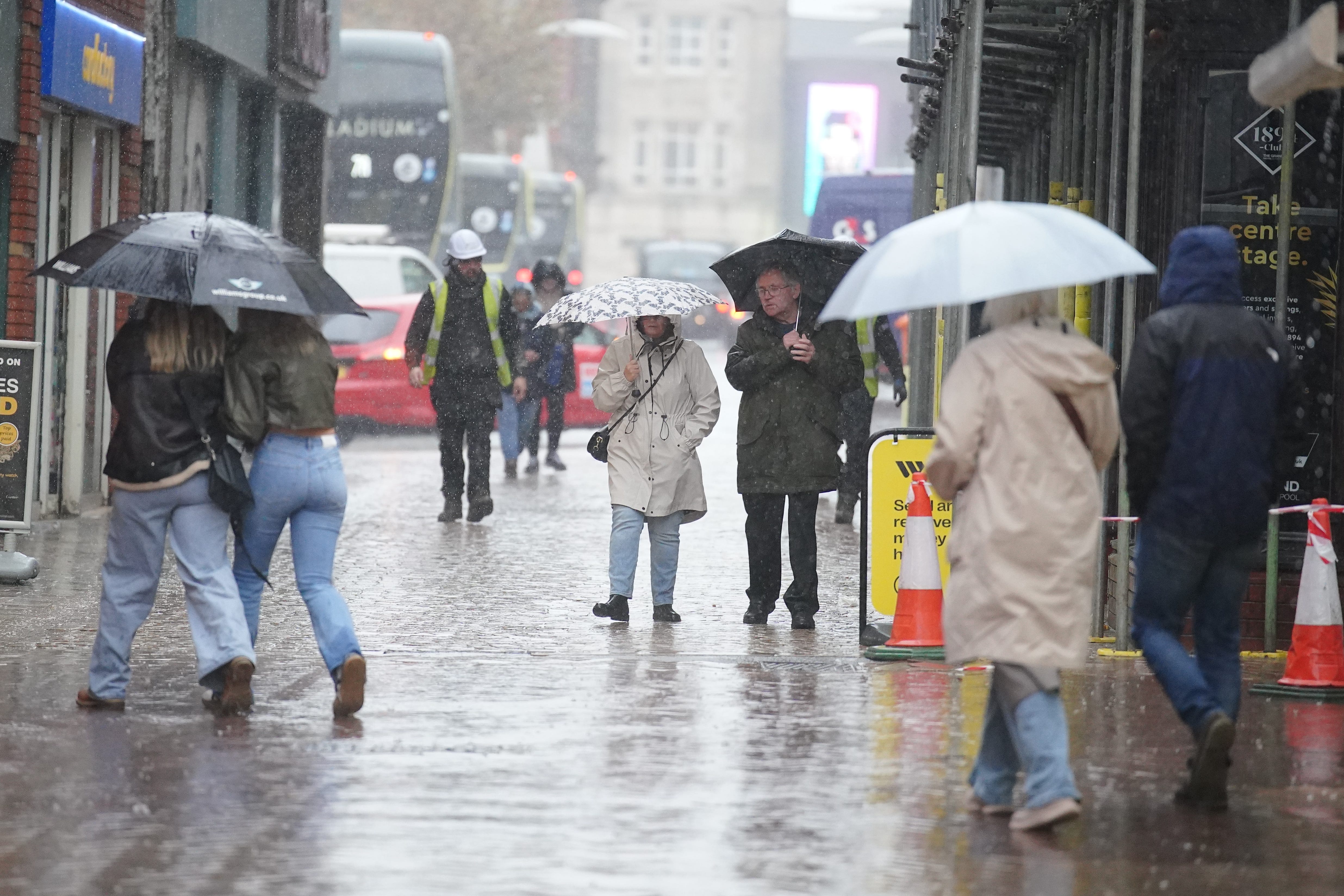
Your support makes all the difference.Gale-force winds of speeds reaching up to 80mph are expected to sweep across parts of the UK this weekend, with the Met Office warning of potential power outages, structural damage, and a possible “danger to life” from airborne debris.
As torrential rain lashed Wales and the western and northern regions of England on Wednesday, the Met Office extended its cautionary alerts, predicting significant disruptions due to strong winds expected on Sunday and Monday.
A yellow warning has been placed over several parts of the UK from 3am on Sunday until noon on Monday. While gusty conditions are anticipated nationwide, heightened disruption is expected in Scotland, Northern Ireland, North West England, and North West Wales.
The Met Office forecasts a surge in strong south and south-easterly winds starting late on Saturday and persisting into Sunday morning. Inland areas, particularly in Northern Ireland and western Scotland, could see gusts of 50 to 60mph, with coastal and upland regions experiencing gusts up to 70mph.
By Sunday afternoon and evening, the winds are expected to shift to a south-westerly direction, intensifying over western Scotland where gusts could peak at 80mph in exposed areas, and 55 to 65mph more broadly within the affected areas.
The combination of strong winds and high spring tides could also lead to further disruptions.
The Met Office cautioned there is a “small chance” of injuries and life-threatening situations arising from flying debris or large waves along coastal areas. Potential road and bridge closures, along with prolonged travel times or cancellations, are also on the cards.
Dan Holley, deputy chief meteorologist at the Met Office, said: “A low-pressure system is poised to bring strong winds to the north and west on Friday, which, combined with high spring tides, might impact coastal areas through the weekend.
“As we approach the weekend, the weather will stay unsettled with sporadic rainfall. By Sunday, a deep Atlantic low-pressure system might induce widespread strong winds, especially in northern and western regions, potentially causing disruptions.
“This low-pressure system is still developing off the coast of Canada, making the forecast uncertain as it interacts with the jet stream over the weekend. We’ll continue to assess the need for further warnings, so it’s vital to stay updated with the latest forecasts.”
Simultaneously, heavy rain across parts of Wales and west England has led the Met Office to extend a yellow warning for south-west England, the north and east Midlands, north-west England, and Wales until 9pm on Wednesday. Some areas might receive 50 to 80mm of rainfall in six hours.
Additionally, a yellow warning is in effect from midday Wednesday to midnight, encompassing north-east and north-west England, and Yorkshire and Humber. Rainfall in many areas is expected to reach 20mm, with isolated thunderstorms potentially bringing up to 80mm in six hours.
Join our commenting forum
Join thought-provoking conversations, follow other Independent readers and see their replies
Comments