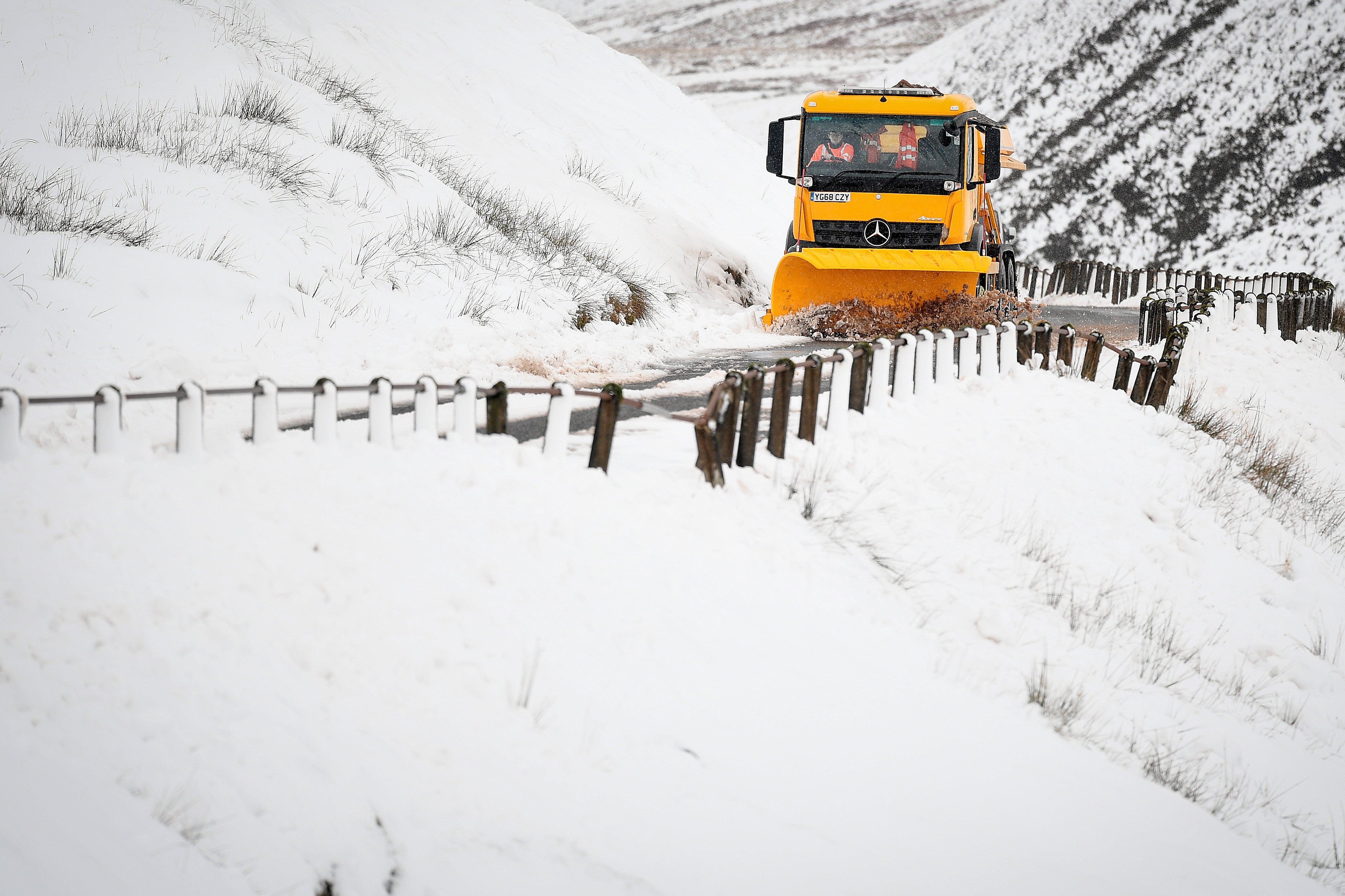
UK weather: Met Office warns Storm Darcy could bring up to 20cm of snow and gale force winds
The storm could prove to be another ‘Beast from the East’

Your support helps us to tell the story
From reproductive rights to climate change to Big Tech, The Independent is on the ground when the story is developing. Whether it's investigating the financials of Elon Musk's pro-Trump PAC or producing our latest documentary, 'The A Word', which shines a light on the American women fighting for reproductive rights, we know how important it is to parse out the facts from the messaging.
At such a critical moment in US history, we need reporters on the ground. Your donation allows us to keep sending journalists to speak to both sides of the story.
The Independent is trusted by Americans across the entire political spectrum. And unlike many other quality news outlets, we choose not to lock Americans out of our reporting and analysis with paywalls. We believe quality journalism should be available to everyone, paid for by those who can afford it.
Your support makes all the difference.Weather warnings were in force the length of Britain on Saturday as Storm Darcy is set to bring heavy snow and bitterly cold gale force winds from Russia, with even central London braced for wintry showers.
The Met Office issued yellow warnings for snow for much of the UK with a more serious amber warning in place for East Anglia, Kent and Scotland's central Highlands.
Daytime temperatures will not exceed low single figures, with many places experiencing freezing temperatures alongside cold winds.
It follows weeks of heavy rain and snow across much of Britain.
On Friday, drivers in Scotland were rescued after a blizzard left them stranded in vehicles overnight.
Emergency services freed 22 vehicles stuck in the snow drifts at Loch Droma on the A835 between Ullapool and Altguish.
Met Office forecaster Steven Keates noted a Jane Austen link to chilly weather in the UK, with Storm Emma back in 2018 and now Storm Darcy.
He said the worst of the weather in England would be seen in parts of east Norfolk, east Suffolk, down towards Kent and around the Thames Estuary.
Met Office chief meteorologist Paul Gundersen said: "The UK is in for a notably cold and snowy period over the next week, with very cold air in place over the whole of the UK by Sunday.
"Showers will see snow accumulating across eastern areas. Within the amber warning area, more widespread snow is expected and we could see 5-10cm of snow quite widely, with a chance that a few places could see 20cm or more."
One hundred and seventy-four flood alerts and warnings from Natural England remain in place across the country after heavy rains and the recent Storm Christoph caused swollen river banks and flooded homes.


Join our commenting forum
Join thought-provoking conversations, follow other Independent readers and see their replies
0Comments