Storm Otto weather warning as Met Office confirms sudden stratospheric warming event – live
Disruption expected until afternoon
Your support helps us to tell the story
From reproductive rights to climate change to Big Tech, The Independent is on the ground when the story is developing. Whether it's investigating the financials of Elon Musk's pro-Trump PAC or producing our latest documentary, 'The A Word', which shines a light on the American women fighting for reproductive rights, we know how important it is to parse out the facts from the messaging.
At such a critical moment in US history, we need reporters on the ground. Your donation allows us to keep sending journalists to speak to both sides of the story.
The Independent is trusted by Americans across the entire political spectrum. And unlike many other quality news outlets, we choose not to lock Americans out of our reporting and analysis with paywalls. We believe quality journalism should be available to everyone, paid for by those who can afford it.
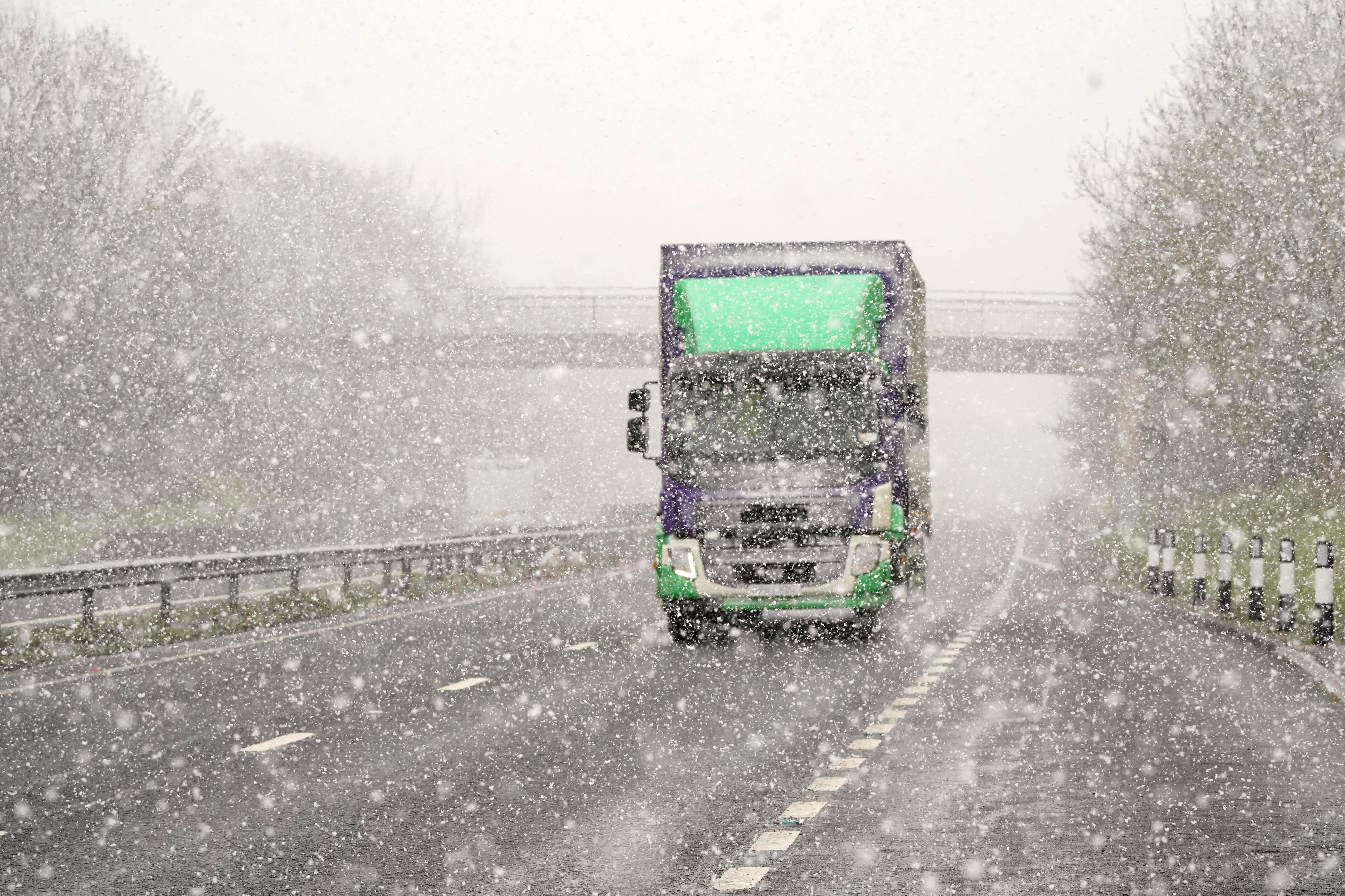
Your support makes all the difference.Trains have been cancelled and hundreds of schools closed as Storm Otto lashes Scotland and England.
Rail lines between York and Edinburgh are currently blocked as low-cost rail operator Lumo warned this morning: “Due to high winds between York and Edinburgh all lines are blocked.
Meanwhile The Met Office has confirmed a new ‘stratospheric event’ that previously led to the 2018’s Beast from the East snowstorm has started.
Despite the name, Sudden Stratospheric Warming (SSW) can cause very cold conditions similar to five years ago, when the UK saw up to 22 inches of snowfall.
Meanwhile, electricity company SSEN has said there are 101 power outages in Scotland, and more than 130,000 customers on its priority services register have been contacted with storm advice.
Yellow weather warnings for wind have been issued for the whole of Scotland and a stretch of north and north-east England running from Sheffield to the Scottish border.


Travel warnings in place as operators urge to check status
Train operators are urging travellers to check the status before stepping out at Storm Otto is expected to bring disruption to travellers across northern areas of the UK.
TransPennine Express has warned customers to check their route before they travel, adding that trains between Berwick-upon-Tweed and Edinburgh will move at reduced speeds in response to the weather.
Meanwhile, Leeds City Station also urged travellers to keep an eye on train schedules.
"We may need to slow trains down or respond to debris blown onto the tracks."
ScotRail issues warning to people living near railway
ScotRail has urged anyone that lives near a train line to secure any garden objects as Storm Otto approached.
It said on Twitter: “With very windy weather on the way, if you live by the railway please secure your garden furniture and items such as trampolines, to avoid them blowing onto tracks and disrupting services.”
Forecast for today during Storm Otto
As heavy rain is set to lash some northern parts with drizzle in central and southern parts, the Met office has issued this forecast for temperatures expected today:
Met Office outlook
Friday:
Mild with occasional rain or drizzle in central and southern parts. Sunny spells and showers further north. Severe gales for parts of Scotland and northern England easing from the west.
Outlook for Saturday to Monday:
Rain and hill snow clears Scotland early Saturday, leaving sunny spells and isolated few wintry showers. Cloudier elsewhere, with rain at times. Further rain or showers Sunday and Monday. Mild.
Emergency speed restrictions imposed on 'numerous sections' of Scotland's railway
Network Rail Scotland has imposed emergency speed restrictions on numerous sections of track amid adverse weather conditions from Storm Otto.
In a tweet, the railway operator said these speed restrictions will be in operation from the first service today.
Why ‘Storm Otto'?
Denmark is expected to bear the brunt of the storm on Friday afternoon, leading the Danes to name the system, which has now been adopted by the Met Office in line with the international storm-naming arrangements.
Otto is the first named storm to directly impact the UK this storm-naming season, which began in September.
The first storm named by the Met Office, or the Irish and Dutch weather services this season will still be Storm Antoni, in accordance with the 2022/23 storm name list.
Friday morning update

What we know so far:
- Storm Otto is set to cause disruption to parts of Scotland and north-east England as it moves across the UK on Friday.
- TransPennine Express has warned customers to check their route before they travel, adding that trains between Berwick-upon-Tweed and Edinburgh will move at reduced speeds.
- The storm will move east across the far north of the UK from the early hours of Friday morning, bringing gusts in excess of 75mph.
- The Met Office has said the high winds will mean travel disruption and possible damage to buildings in places and warned the drivers of high-sided vehicles to be careful.
Read the full report here.
Met Office warning for high sided vehicles
The Met Office has said the high winds will mean travel disruption and possible damage to buildings in places and warned the drivers of high-sided vehicles to be careful.
- It said there is also a danger of large waves on the North Sea coast "as well as a chance of some damage to buildings and infrastructure".
- Yellow weather warnings for wind have been issued for the whole of Scotland and a stretch of north and north-east England running from Sheffield to the Scottish border.
- The detailed warning for Scotland explains that there could be "injuries and danger to life from flying debris" and "some damage to building, such as tiles blown from roofs".
- The warning for Scotland runs from 3am to 3pm Friday and the north-east England warning is from 5am to 2pm.
40-50mm of rain predicted for Scotland

Around 40-50mm of rain likely to fall over parts of western Scotland, the Met Office has said.
Met Office chief meteorologist Andy Page said: "Storm Otto will bring high winds and rain to the UK, with some northern parts of Scotland and the north-east of England likely to get the strongest gusts of wind, possibly in excess of 75mph. Warnings have been issued and could be updated as Storm Otto develops.
"There's a chance of travel disruption and high-sided vehicles could be particularly prone to disrupted plans in this set-up.
"There's associated rain with Storm Otto, with 40-50mm of rain likely to fall over parts of western Scotland."
Join our commenting forum
Join thought-provoking conversations, follow other Independent readers and see their replies
Comments