Storms Elin and Fergus batter UK as Met Office issues four days of heavy rain warnings
Storm Fergus is set to bring 40mm of rain on Sunday after wind speeds of up to 81mph were felt as Storm Elin swept across the UK on Saturday
Your support helps us to tell the story
From reproductive rights to climate change to Big Tech, The Independent is on the ground when the story is developing. Whether it's investigating the financials of Elon Musk's pro-Trump PAC or producing our latest documentary, 'The A Word', which shines a light on the American women fighting for reproductive rights, we know how important it is to parse out the facts from the messaging.
At such a critical moment in US history, we need reporters on the ground. Your donation allows us to keep sending journalists to speak to both sides of the story.
The Independent is trusted by Americans across the entire political spectrum. And unlike many other quality news outlets, we choose not to lock Americans out of our reporting and analysis with paywalls. We believe quality journalism should be available to everyone, paid for by those who can afford it.
Your support makes all the difference.Britain is set to face another four days of miserable weather this week in the aftermath of Storm Fergus and Storm Elin sweeping across the country.
On Saturday, Storm Elin brought wind speeds of up to 81mph and 38mm of rain to parts of the UK. Fresh weather warnings have been issued until Wednesday as Britain braces for the aftermath of Storm Fergus’ arrival on Sunday afternoon.
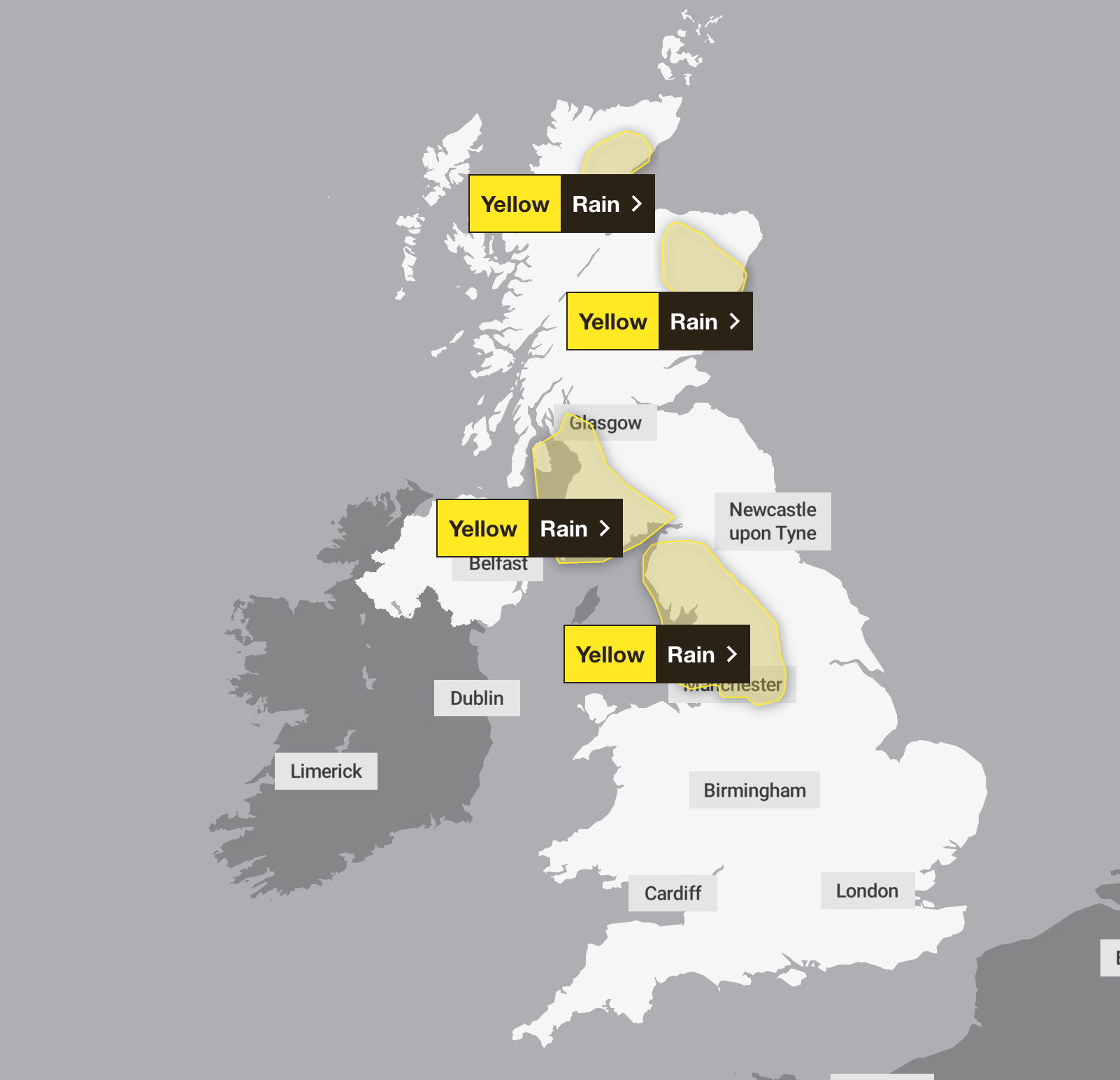
The storm – named by the Irish meteorological service, Met Eireann – could produce 30 to 40mm of rain, along with a risk of hail and thunder, the Met Office said. Several warnings for rain have been issued, predominantly focused on northwest England and southwest Scotland, as well as parts of northern and eastern Scotland.

The Met Office has warned that disruption to travel and flooding of homes is likely, as yellow weather warnings are set to remain in place until 3am on Wednesday.
“Storm Fergus will conclude what has been an unsettled weekend of weather for the UK. Fergus will bring some strong winds and heavy rain for a time late on Sunday and into the early hours of Monday morning,” Met Office Chief Meteorologist Andy Page said.
He added: “While the strongest gusts are expected in the Republic of Ireland, Storm Fergus will bring some windy conditions to western areas, including Irish Sea coasts, while also bringing some potentially impactful rain.
“The rain has potential to be disruptive in parts of northern England and parts of Scotland, especially where it’s falling on very saturated ground.”

Some 40 flood warnings for England have been issued by the Environment Agency and three by the Scottish Environmental Protection Agency.
The strongest winds are likely to hit south Wales and areas around the Bristol Channel, with a possibility of localised gales.
The bad weather could cause delays to road, rail, air and ferry transport and coastal routes, sea fronts and coastal communities may be affected by spray and large waves, the forecaster said.
Met Office forecaster Simon Partridge said: “There will be some further spells of heavy rain, particularly in Wales and the north of England.
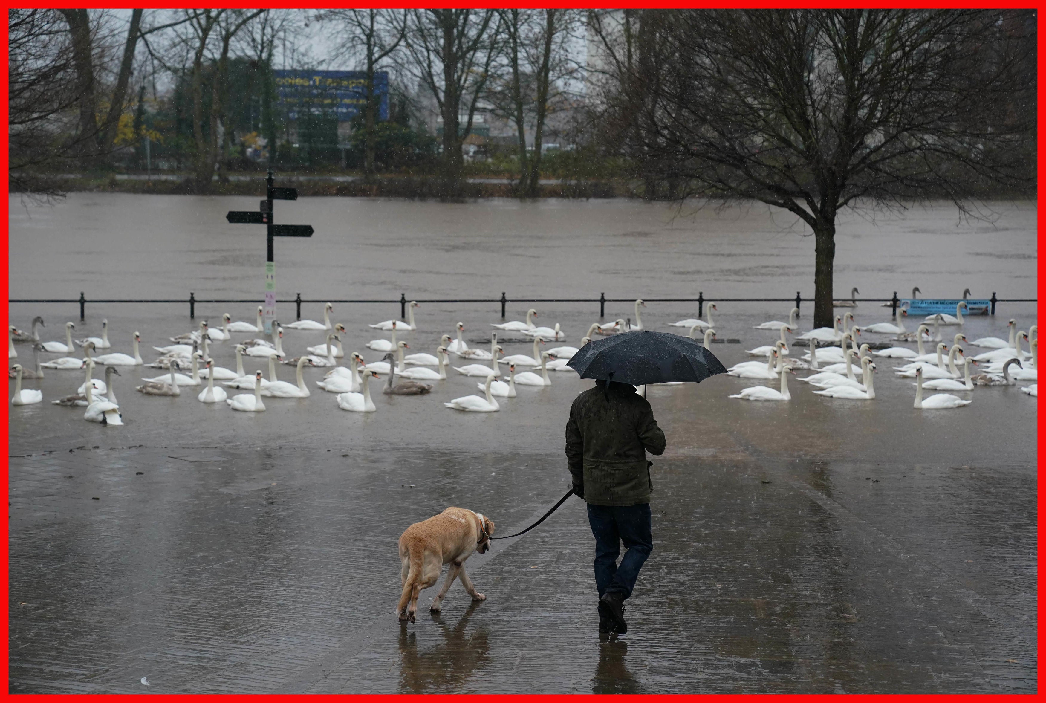
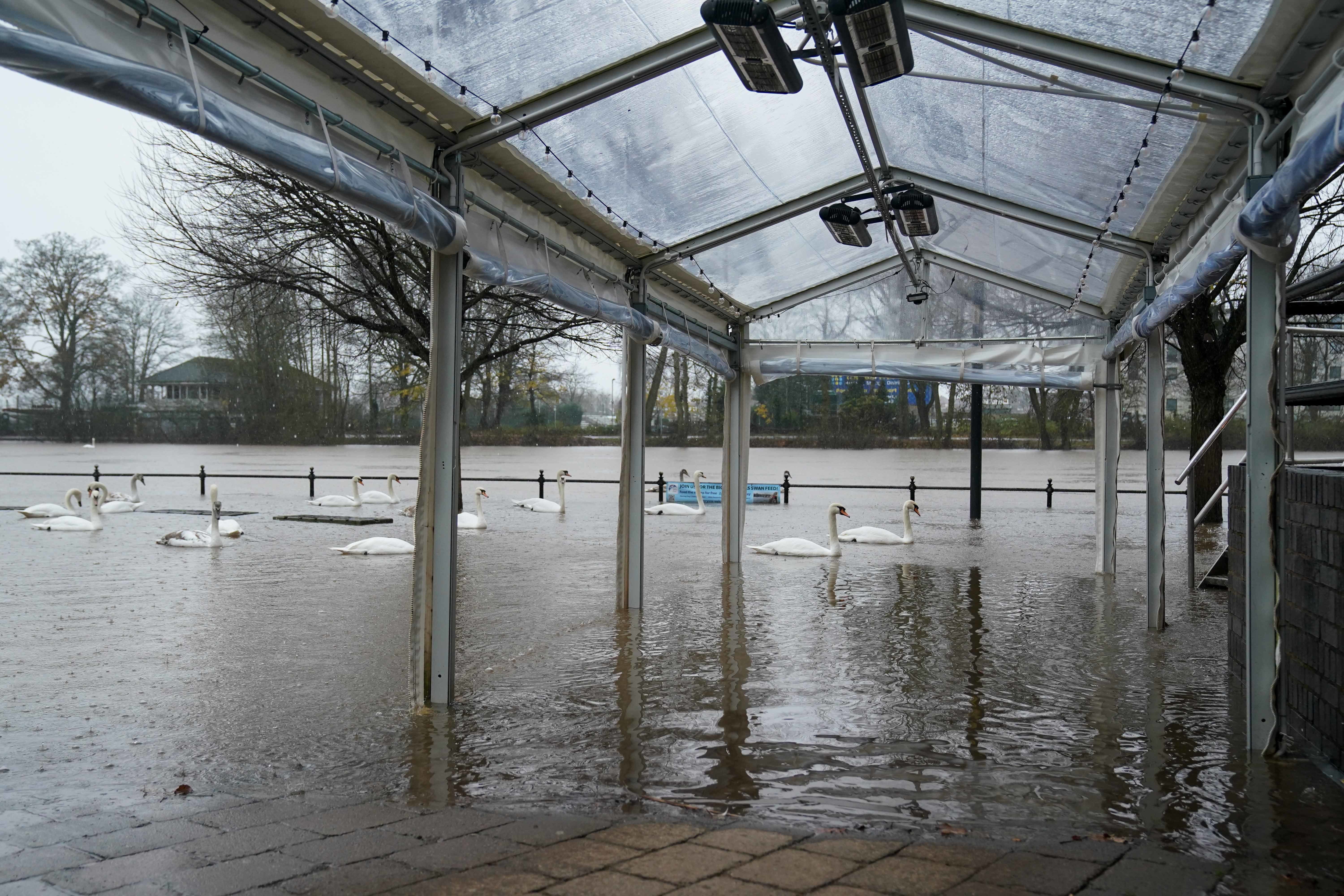
“In these areas the ground is already very saturated which makes flooding possible.”
Storm Fergus will weaken as it moves to the east in the early hours of Monday morning, but the unsettled weather will likely continue from Tuesday.

Ireland has been hit the worst by the two storms. Homes and cars in Leitrim Village in Ireland were seriously damaged after a possible tornado hit the area.
Emergency services were called on Sunday afternoon after high winds flattened trees, ripped a roof off a building and left debris scattered on a street.
Met Eireann meteorologist Liz Walsh said reports of a tornado in the area were “possibly correct” or “certainly some very high winds associated with the thunderstorm”.
She said the forecaster was relying on social media reports and videos to say for certain if it was a tornado.
Join our commenting forum
Join thought-provoking conversations, follow other Independent readers and see their replies
Comments