UK weather: Storms Elin and Fergus batter Britain with heavy rain and 70mph winds
There are five yellow weather warnings in place on Saturday as both Storm Elin and Fergus batter the UK over the weekend

Heavy rain and gale force winds are battering the UK this weekend as Britain faces two storms in quick succession.
Ireland’s Met Éireann named Storm Elin and Storm Fergus, which will both sweep across Britain on Saturday and Sunday, bringing up to 70mph gusts of wind in some areas.
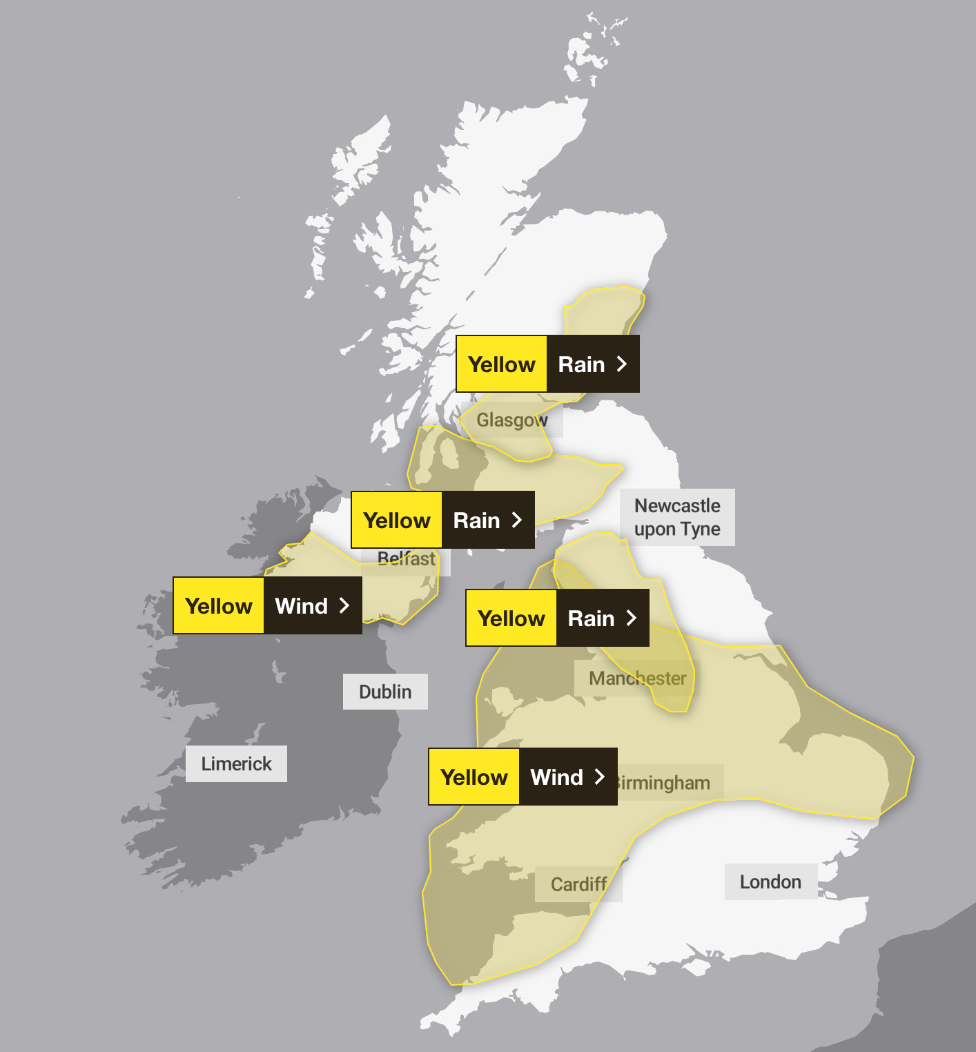
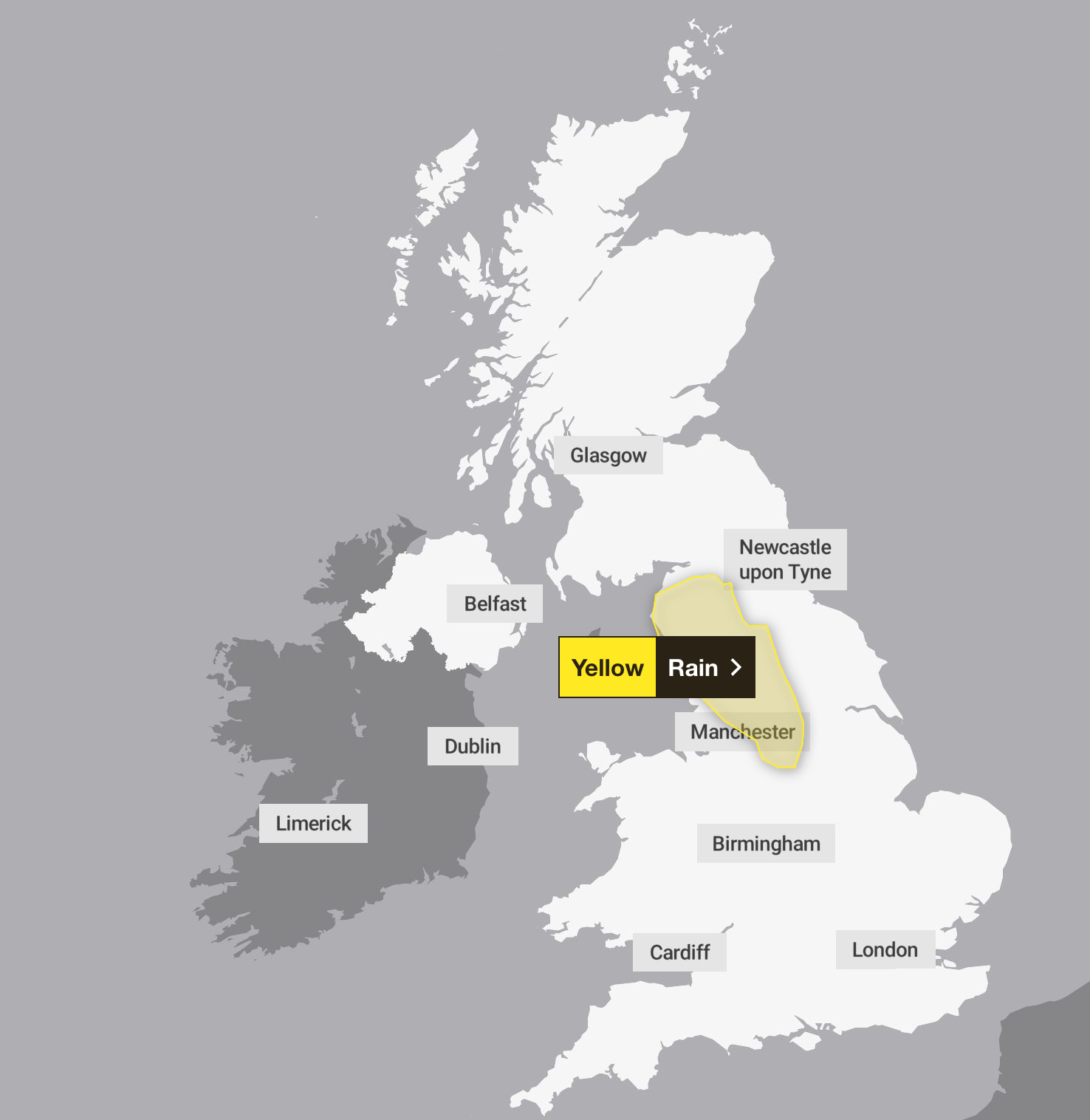
The Met Office has issued five yellow weather warnings for wind and rain covering most of the country, with one warning for rain in northwest England set to remain in place until 3am on Sunday.

Parts of northern England could see up to 30mm of rain on Saturday night, with a yellow warning in place for an area stretching from Carlisle to Sheffield until Sunday morning.
A second weather system, Storm Fergus, is due to move in on Sunday, with fears it could reintroduce some gusty winds, especially in western areas, alongside further rainfall.
The most impactful winds of the storm are expected to hit Ireland, which will have a number of warnings in place for wind until Monday, after it was also hit particularly badly by Storm Elin.
Irish Sea coastal areas could see gusts of up to 70mph, with other areas experiencing wind speeds of between 45mph and 55mph, the Met Office said.
Wind speeds will increase in the west during Saturday morning then across other areas through the afternoon, before easing slowly from the west through the evening.
The Met Office warnings also urge Britons to prepare for transport delays and says flooding in homes and businesses is “likely”.

The Environment Agency has issued 33 flood warnings for England – meaning flooding is expected – including for the River Ouse at York.
Kate Marks, flood duty manager at the Environment Agency, urged people not to drive through flood water as just 30cm of flowing water can be enough to move your car
Some may also expect power cuts and loss of other services amid the extreme weather.
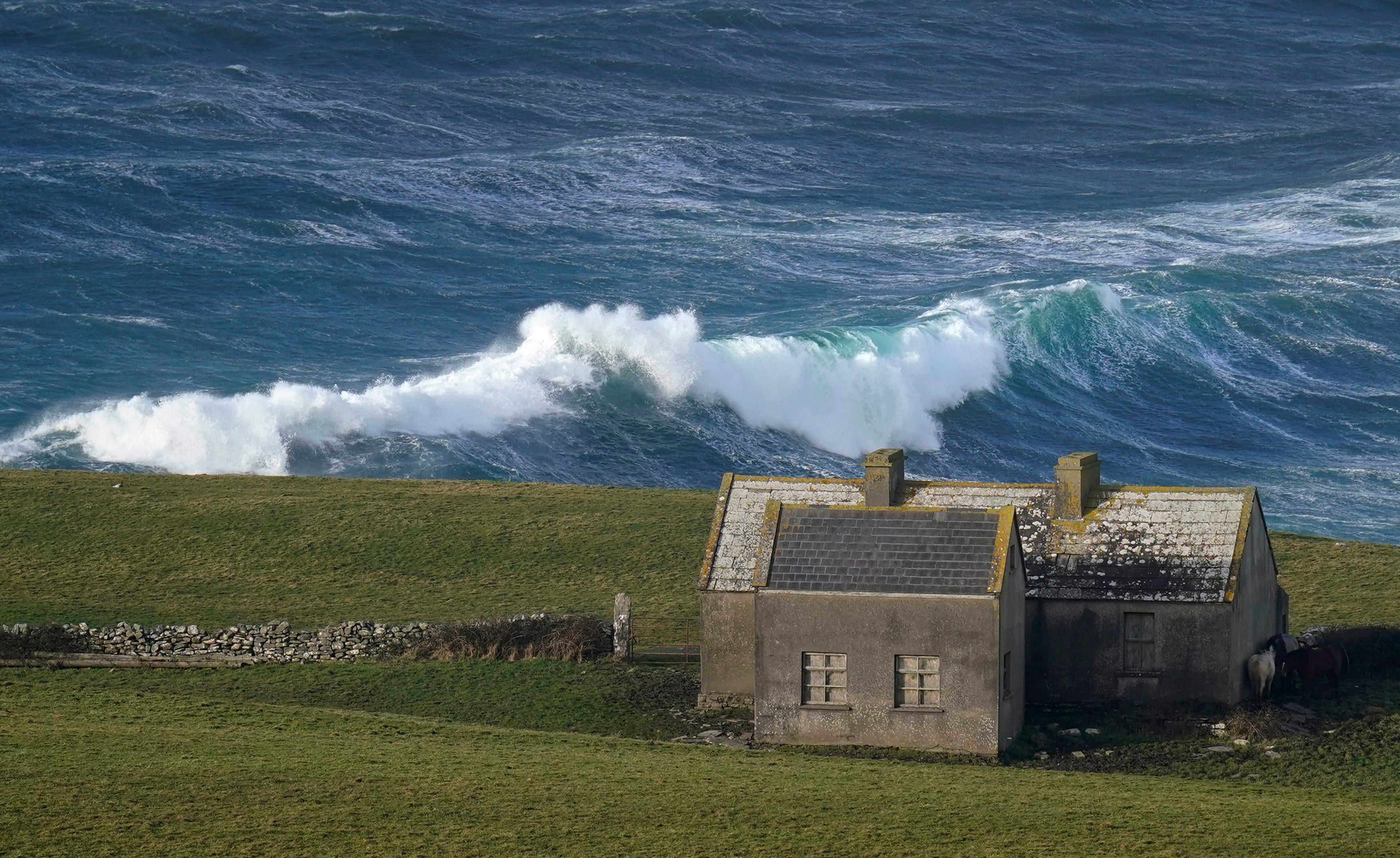
The bad weather could cause delays to road, rail, air and ferry transport, and coastal routes, sea fronts and coastal communities may be affected by spray and large waves, the forecaster said. The unsettled weather is expected to continue into Sunday and next week.

Met Office spokesperson Stephen Dixon said a band of heavy wind and rain will move from the southwest of the UK towards the northeast on Saturday, “bringing with it heavy rain for much of the country”.
He said: “By the afternoon most of the heavy wind and rain will have passed and it will just be showers for southern areas.
“We will also be seeing some quite strong winds in Wales, the Midlands, northern England and Northern Ireland, particularly coastal communities around the Irish Sea. We’re in for a wet and windy weekend.”
MET OFFICE OUTLOOK:
Saturday night
Rain continues for many parts of Scotland, northern and central England this evening, slowly clearing through the second half of the night as strong winds begin to ease. Clear and dry in the south and later the west. Mild again.
Sunday:
Rain moves into from the west, heavy for some. Clearing eastwards leaving sunny spells in the south by the afternoon. Winds increase in the south, gales along western coasts.
Monday to Wednesday:
Some sunny spells on Monday, but further heavy rain arriving from the west overnight and into Tuesday. Drier on Wednesday. Often windy and less mild than over the weekend.
Join our commenting forum
Join thought-provoking conversations, follow other Independent readers and see their replies
Comments