New York weather: Severe thunderstorms to hit East Coast as tornado warning lifted
Rare April warning issued as fast-moving storm roars through East Coast ahead of near-freezing cold front
Your support helps us to tell the story
From reproductive rights to climate change to Big Tech, The Independent is on the ground when the story is developing. Whether it's investigating the financials of Elon Musk's pro-Trump PAC or producing our latest documentary, 'The A Word', which shines a light on the American women fighting for reproductive rights, we know how important it is to parse out the facts from the messaging.
At such a critical moment in US history, we need reporters on the ground. Your donation allows us to keep sending journalists to speak to both sides of the story.
The Independent is trusted by Americans across the entire political spectrum. And unlike many other quality news outlets, we choose not to lock Americans out of our reporting and analysis with paywalls. We believe quality journalism should be available to everyone, paid for by those who can afford it.
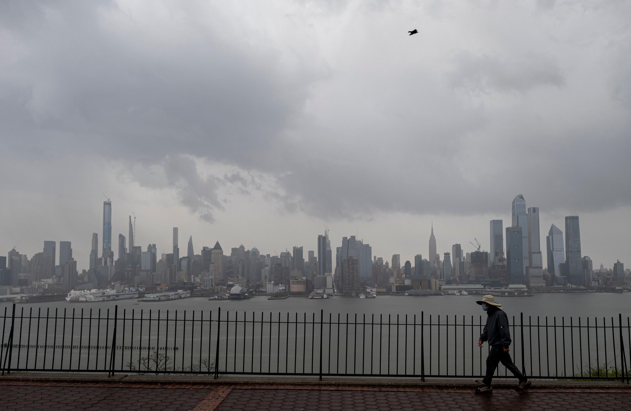
Your support makes all the difference.A rare tornado warning was issued and hail was reported in parts of New York City, as the East Coast braced for damaging winds and strong to severe thunderstorms ahead of a cold front pushing across the eastern US.
The National Weather Service issued a severe thunderstorm watch for New York, including New York City, as well as New Jersey, Delaware, eastern Pennsylvania and eastern Maryland through Tuesday afternoon.
A tornado warning was initially issued in parts of Manhattan, the first time the city had seen an April tornado warning in nearly a decade. The warning did not impact a central area of the city where a coronavirus patient field hospital has been established.
The warning was cancelled shortly after it was issued, but strong winds persisted through the afternoon.
Hail was reported throughout the city's boroughs, while massive, sinister cloud formations and water spouts were spotted off the New Jersey coastline.
The last tornado to hit New York City was in August 2018, when an 85 mph tornado roared through Queens and knocked down several trees and power lines.
Colder air is expected to hit the East Coast late on Tuesday and into Wednesday.
Meanwhile, the southern US is bracing for more severe weather following several deadly tornadoes.
Damaging winds and flash floods are predicted for much of the southeastern US from Wednesday through Thursday.
See live updates as they happened
Please allow a moment for the liveblog to load
A tornado warning and severe thunderstorm warnings have been issued for parts of New York and Northern New Jersey.
Residents have been warned of 60mph winds, frequent lightning, and hail.
Damage to trees and power lines is expected.

Tornado warning issued, then cancelled, in New York City as storm approaches
A rare tornado warning with a fast-moving storm was issued for parts of New York City on Tuesday with alerts for residents to stay indoors.
The warning was lifted but severe storms are still expected for parts of the East Coast in front of a cold snap.
Winds of up to 70 mph reported in the Bronx, hail reported in Queens
Seventy mph winds were reported in New York City following a severe storm warning for the East Coast.
Meanwhile, a brief hailstorm was reported in Queens:
Whoa. Take a look at the storm formation off Long Beach in New York earlier this afternoon:
Water spout spotted in New Jersey
During the severe thunderstorm warning for the East Coast, a water spout was filmed forming off of the New Jersey shore in Asbury Park:
Here's another look at a water spout that formed off the New Jersey coastline this afternoon as a severe thunderstorm watch was in place across the East Coat:
When was the last time there was an April tornado warning in New York City?
NBC meteorologist Kathryn Prociv says a rare warning was last issued in 2011:
South braces for more bad weather — and more tornadoes — following fast-moving storm and cold front in northeast
Severe storms are expected in the southeast US this week after deadly storms and tornadoes tore through parts of the south over the last two weeks.
A new storm system could bring more tornadoes, along with hail, damaging winds and flash floods to eastern Texas and parts of Oklahoma, Arkansas, Louisiana and Mississippi.
By Thursday night, severe weather is expected to cover most of the south east from New Orleans to north Florida up to Charlotte, North Carolina.
Some areas could see one to three inches of rain and some localized flash flooding with continued downpours.
We're closing live updates from the 21 April storm system on the East Coast.
Stay with The Independent for more.
Join our commenting forum
Join thought-provoking conversations, follow other Independent readers and see their replies
Comments