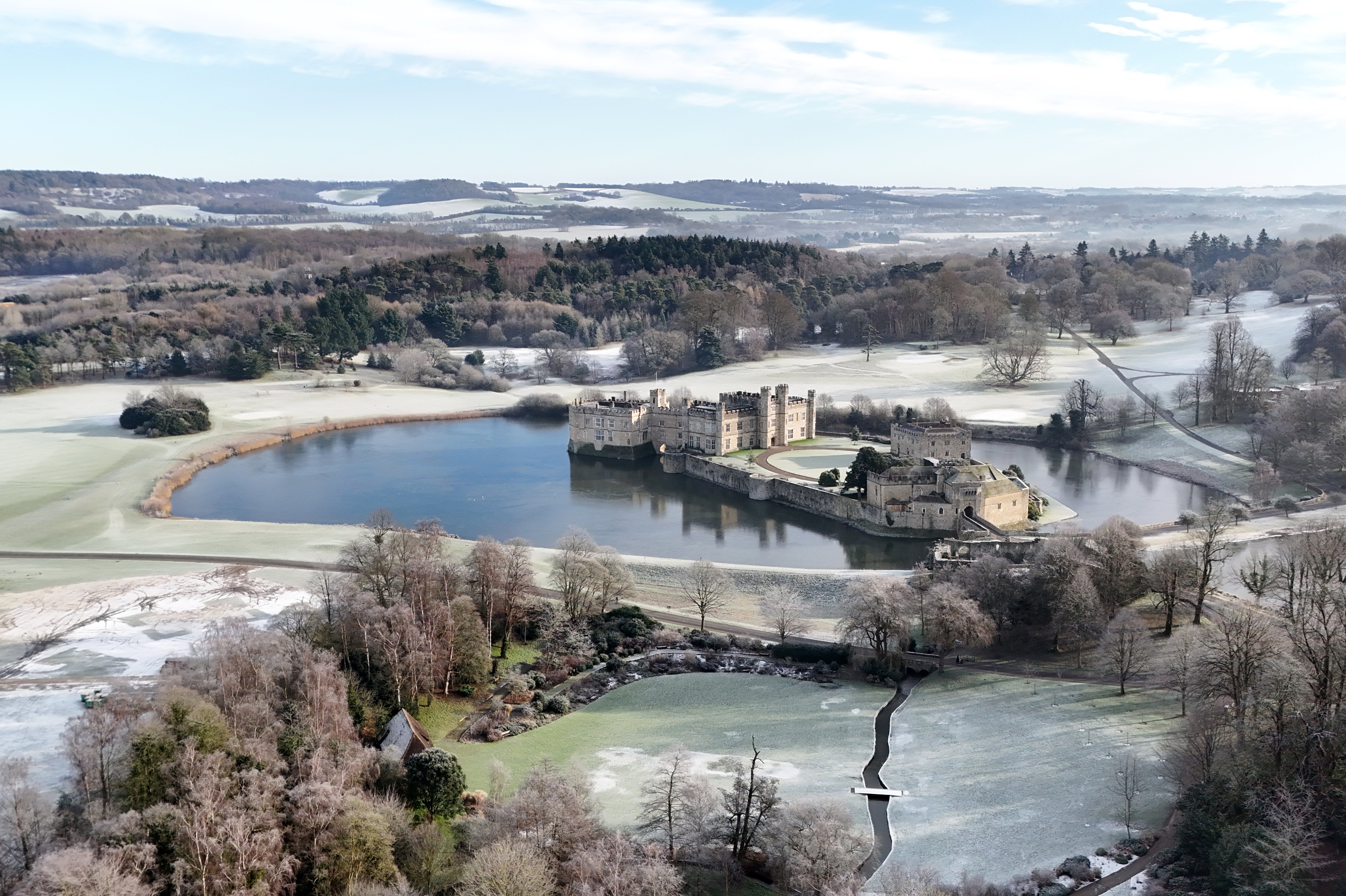
UK records -14C in coldest night so far as temperatures could plunge to -20C tonight
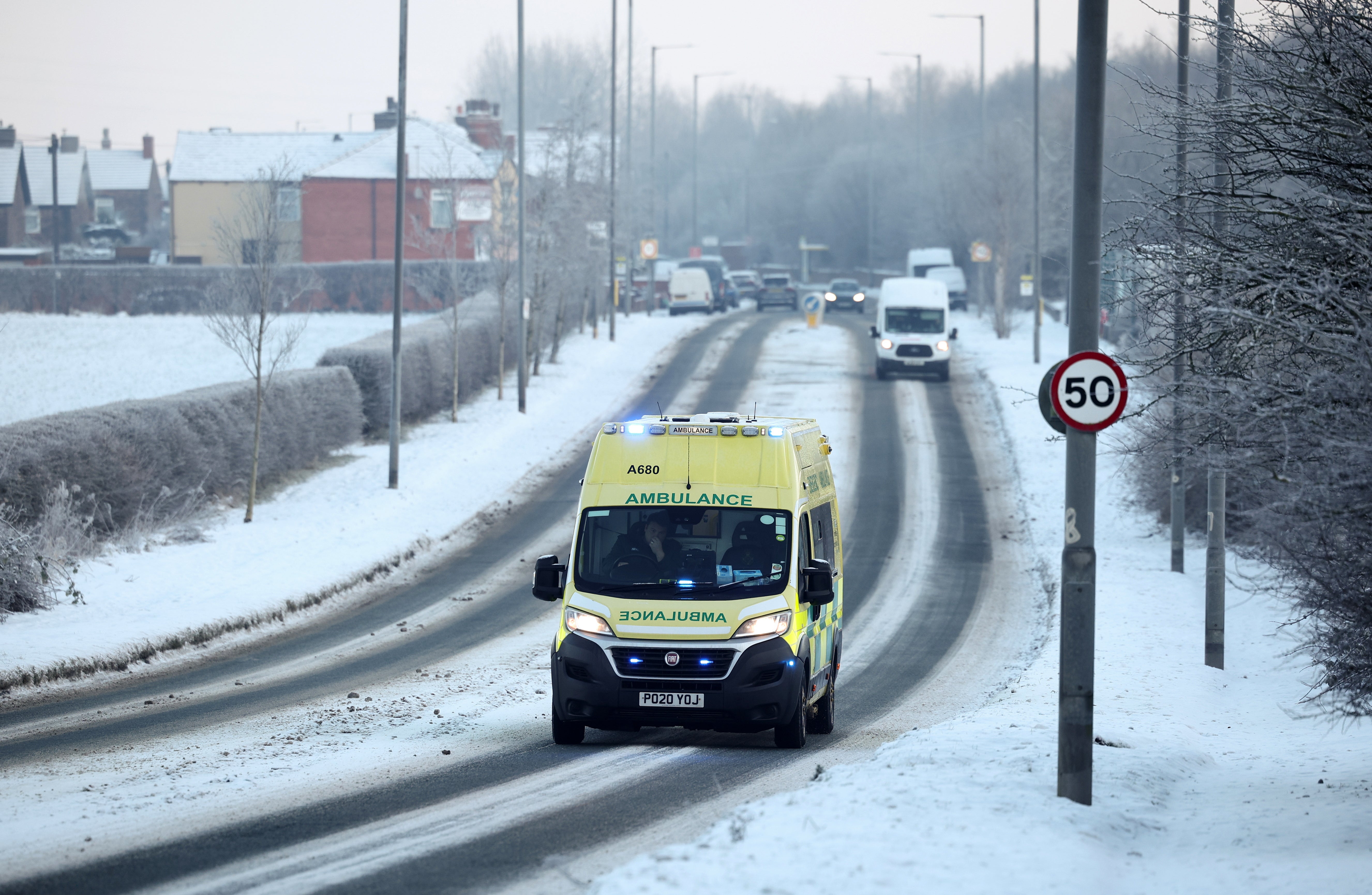
Snowy and icy conditions have prompted travel disruption and school closures, with temperatures below freezing over the past week
Your support helps us to tell the story
From reproductive rights to climate change to Big Tech, The Independent is on the ground when the story is developing. Whether it's investigating the financials of Elon Musk's pro-Trump PAC or producing our latest documentary, 'The A Word', which shines a light on the American women fighting for reproductive rights, we know how important it is to parse out the facts from the messaging.
At such a critical moment in US history, we need reporters on the ground. Your donation allows us to keep sending journalists to speak to both sides of the story.
The Independent is trusted by Americans across the entire political spectrum. And unlike many other quality news outlets, we choose not to lock Americans out of our reporting and analysis with paywalls. We believe quality journalism should be available to everyone, paid for by those who can afford it.
Your support makes all the difference.The UK recorded its coldest night of this winter so far with sub-zero temperatures across the country - but the mercury could fall even lower on Friday night with the Met Office predicting a bitterly cold weekend.
The agency’s lowest recorded overnight temperature was -14.5C in Altnaharra, northern Scotland on Thursday night.
It is possible temperatures will plunge even lower on Friday night. The hard frost will not be as widespread, but the night is forecast to be the coldest of the winter with the Met Office expecting the cold snap to fall to -15C and -20C in parts of Scotland and northern England.
The falling temperatures come following a week of snow and disruption in some parts of the country, along with a rare amber cold-health alert issued by the UK Health Security Agency (UKHSA) for across England until Tuesday.
Met Office meteorologist Liam Eslick said: “That’s probably the lowest limits that we’re … expecting, we probably don’t really expect many places to get close to minus 20C, but we could see one or two places that could just touch that mark overnight Friday.

“Just because it’s, again, still conditions, it’s high pressure, not a lot of wind and under clear skies as well.
“Especially where there’s still snow on the ground across Scotland and northern England, that’s sort of a perfect scenario to see those temperatures just plummet from Friday night into Saturday morning as well.”

The past week has seen snow blasts and travel chaos as blankets of snow fell across large areas of the UK, leaving hazardous icy patches in their wake.
Milder air will begin pushing its way into the UK from the South West on Friday, signifying the beginning of the end of the cold snap.
The forecaster said Friday will see “the start of a change to our weather” with milder temperatures “attempting to move in from the south west through the morning”.

This is expected to only make “limited progress” and patchy rain, sleet and snow is expected across parts of south west Britain.
The UKHSA amber cold health alert has been extended across the weekend, meaning that cold weather impacts are likely to be felt across the whole health service.
A spokesperson said: “This weather can have a serious impact on the health of some people, including those aged 65 and over and those with pre-existing health conditions, and it is therefore vital that we continue to check in on friends, family and neighbours that are most vulnerable.”

It follows a week of travel chaos, with flight delays, damage to train tracks and buses rerouted as a result of snowfall and icy conditions.
Manchester Airport was forced to close its runways on Thursday morning due to “significant levels of snow”. The runways opened later in the morning, but multiple flights were delayed as a result, the airport said in an announcement on X.
Meanwhile, hundreds of schools in Scotland and around 90 in Wales were forced to close this week due to dangerous icy conditions.
Mr Eslick said: “Saturday is still going to be another cold one, unfortunately.”
However, clouds will come in from the west which should prevent temperatures dropping as quickly, he said.
The meteorologist added: “Sunday will still be a chilly one, but not as cold as what we’ve seen for today and for tomorrow. By Monday, we are expecting the temperatures to come back up to what we would expect for this time of year, which is around sort of 7C (or) 8C”.

Join our commenting forum
Join thought-provoking conversations, follow other Independent readers and see their replies
Comments