UK weather - live: Met Office warns of torrential rain after -6C cold snap as hundreds of flood alerts issued
The Environment Agency has 57 flood warnings and 190 alerts are in place
Your support helps us to tell the story
From reproductive rights to climate change to Big Tech, The Independent is on the ground when the story is developing. Whether it's investigating the financials of Elon Musk's pro-Trump PAC or producing our latest documentary, 'The A Word', which shines a light on the American women fighting for reproductive rights, we know how important it is to parse out the facts from the messaging.
At such a critical moment in US history, we need reporters on the ground. Your donation allows us to keep sending journalists to speak to both sides of the story.
The Independent is trusted by Americans across the entire political spectrum. And unlike many other quality news outlets, we choose not to lock Americans out of our reporting and analysis with paywalls. We believe quality journalism should be available to everyone, paid for by those who can afford it.
Your support makes all the difference.The Met Office has issued two yellow weather warnings as torrential downpours are set to hit the country tomorrow.
The first warning starts from 6am tomorrow and covers parts of southwest England, whereas the second warning, covering parts of Sussex and Kent, starts at 3pm and lasts until 9am Monday.
Up to 40mm of rain is set to batter the areas leading to travel disruption and further flooding after a sudden chill last night led to lows of -6C in northern Scotland.
It comes as 57 flood warnings and 190 flood alerts are in place across England with one flood warning and six alerts in Wales as heavy downpours on Thursday caused flooding on road and railway lines.
Rainfall led to the closure of several schools in Herefordshire and Worcestershire on Thursday because of rising flood levels and “treacherous road conditions”, councils said.
Many roads across the West Midlands in particular were submerged and rail operators struggled to resolve issues on the tracks, with Transport for Wales and West Midlands Railway services operating a replacement bus service between Shrewsbury and Wolverhampton.
Weather warning on Monday
The warning for rain in the south east will remain in place until 9am on Monday.
Rain is expected to arrive across Sussex and Kent during Sunday afternoon, persisting through the night before slowly clearing on Monday morning.
Flooding and disruption is expected.
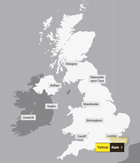
What weather warnings are in place?
A yellow warning for rain covering the South West from 6am to 6pm on Sunday suggests there could be downpours of up to 40mm in few places.
The warning says: “Rain is expected to move north-eastwards across parts of south-west England on Sunday morning, persisting through much of the day before slowly dying out later in the afternoon.”
It adds that 15mm to 25mm of rain is “likely quite widely” and up to 40mm in a few places, and that “with saturated ground, this may lead to some flooding and disruption”.
Persistent rain is also on the cards for London and the South East where a yellow rain warning running from 3pm on Sunday to 9am on Monday suggests widespread downpours ranging from 15mm-25mm and up to 40mm locally.
The warning says: “Rain is expected to arrive across Sussex and Kent during Sunday afternoon, persisting through the night before slowly clearing on Monday morning.”
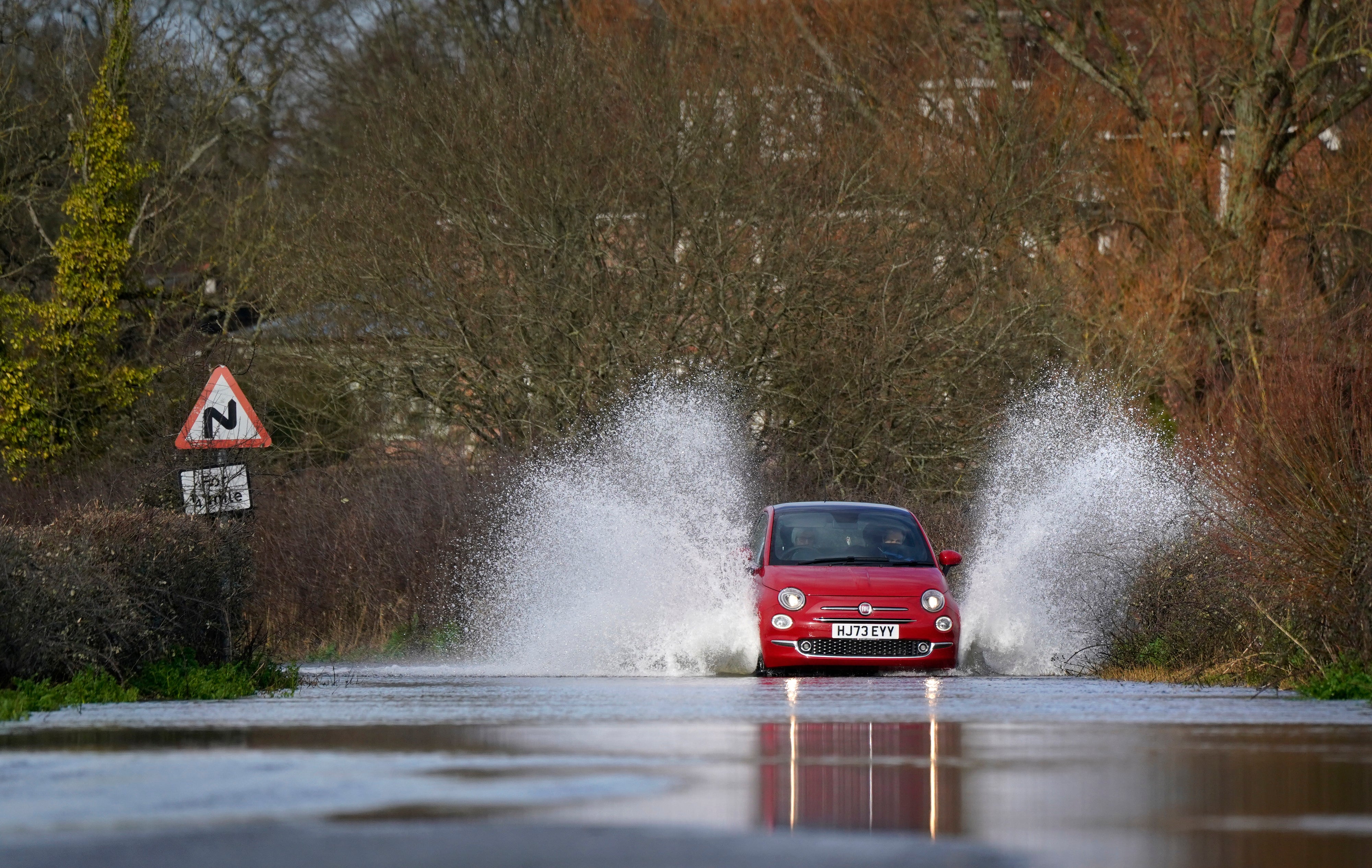
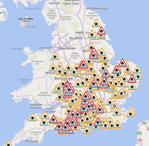
Mapped: Hundreds of flood alerts as rivers burst banks and UK braces for washout weekend
A washout weekend is expected in the UK as hundreds of flood alerts remain in place across the country.
After torrential downpours on Thursday, blustery showers are expected to pour on Sunday after sweeping across the west, say Met Office meteorologists.
There are 57 flood warnings and 190 flood alerts in place across England with one flood warning and six alerts in Wales.

Mapped: Hundreds of flood alerts as UK braces for washout weekend
Large swathes of the UK are set to flood as more heavy rainfall arrives this weekend
More on the weather warning
The warning says: “Rain is expected to move north-eastwards across parts of south-west England on Sunday morning, persisting through much of the day before slowly dying out later in the afternoon.”
It adds that 15mm to 25mm of rain is “likely quite widely” and up to 40mm in a few places, and that “with saturated ground, this may lead to some flooding and disruption”.
In pictures - A chilly start to Saturday


Mapped: Hundreds of flood alerts as rivers burst banks and UK braces for washout weekend
A washout weekend is expected in the UK as hundreds of flood alerts remain in place across the country.
After torrential downpours on Thursday, blustery showers are expected to pour on Sunday after sweeping across the west, say Met Office meteorologists.
There are 57 flood warnings and 190 flood alerts in place across England with one flood warning and six alerts in Wales.
Read the full story here...

Mapped: Hundreds of flood alerts as UK braces for washout weekend
Large swathes of the UK are set to flood as more heavy rainfall arrives this weekend
Watch - The latest Met Office forecast
Today’s forecast
Sunny spells and showers are expected across the country today.
Patchy fog and frost will give way to drive sunny spells, the Met Office predicts.
The south coast and west will be struck by showers with could move elsewhere as the day progresses.
The southwest will feel breezy and be hit by rain later in the day.
Most will enjoy a dry clear night with fog and frost returning in some areas.
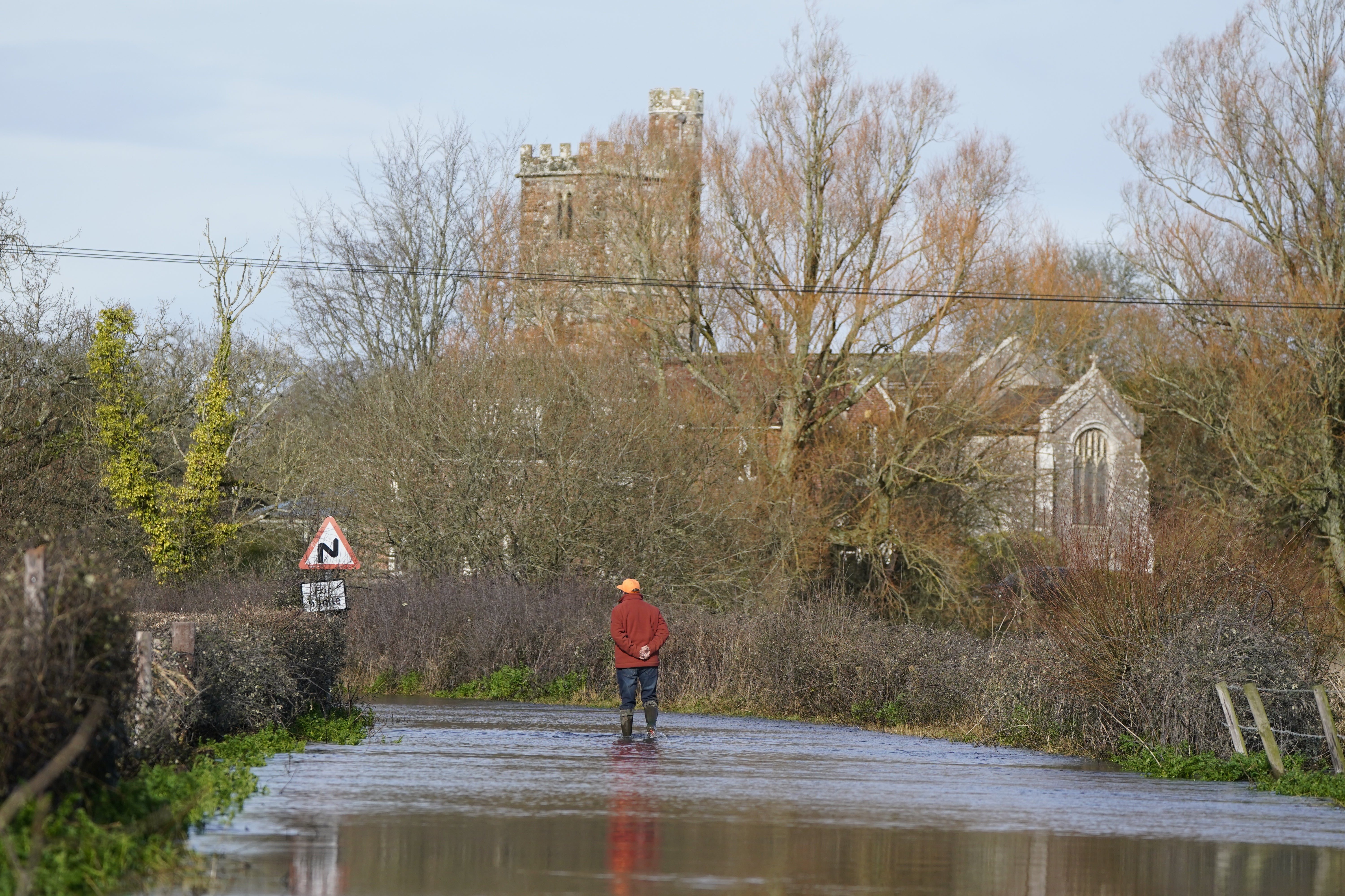
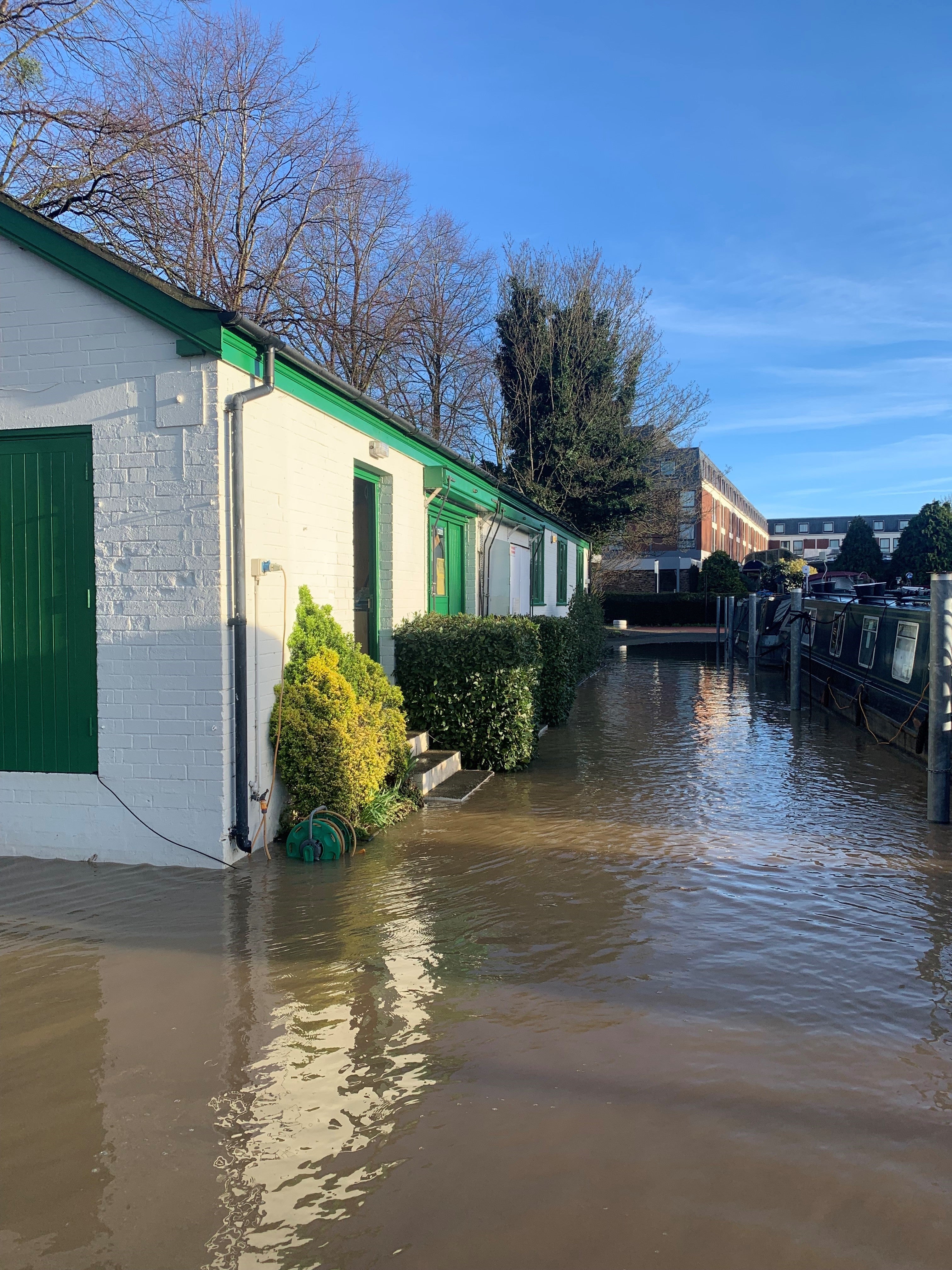
In pictures - Remnants of Thursday’s rainfall yesterday


Join our commenting forum
Join thought-provoking conversations, follow other Independent readers and see their replies
Comments