Storm Ciarán news live: UK set for washout bonfire weekend as Storm Domingos to slam into Europe
Death toll in Europe rises to 12 as cars swept away as downpours flood hospitals in Italy
Your support helps us to tell the story
From reproductive rights to climate change to Big Tech, The Independent is on the ground when the story is developing. Whether it's investigating the financials of Elon Musk's pro-Trump PAC or producing our latest documentary, 'The A Word', which shines a light on the American women fighting for reproductive rights, we know how important it is to parse out the facts from the messaging.
At such a critical moment in US history, we need reporters on the ground. Your donation allows us to keep sending journalists to speak to both sides of the story.
The Independent is trusted by Americans across the entire political spectrum. And unlike many other quality news outlets, we choose not to lock Americans out of our reporting and analysis with paywalls. We believe quality journalism should be available to everyone, paid for by those who can afford it.
Your support makes all the difference.With the worst of Storm Ciarán now over for Brits Storm Domingos is moving across the Atlantic and is expected to slam into Europe on Saturday.
The worst of Domingos is expected to hit northern Spain and western France along the Bay of Biscay, where gusts in excess of 60 mph are possible in addition to heavy rain.
Despite the centre of Ciarán now over the North Sea, many British Bonfire Night events have been cancelled or postponed with added travel disruption expected.
The Met Office issued a yellow weather notice for heavy rain across the south and south west of England lasting from 5am on Saturday to 11.59pm.
A yellow weather warning for rain has been issued for Saturday as 42 flood warnings remain in place as downpours are expected to hamper down ahead of bonfire night.
Dozens of flood warnings remain in place across the South coast with a few in the East of England and several scattered around North Yorkshire as rivers reach their limit.
Thunderstorms are likely to catch in the southeast as up to 30-40mm are expected in the coastal regions.
The Met Office said: “A spell of heavy rain early in the day clears northwards but is followed by fairly frequent heavy and blustery showers.”
It comes as at least 12 people have died across Europe as Storm Ciarán unleashed chaos and widespread flooding, while thousands of homes in the UK are still without power.
Have you been affected by Storm Ciarán? Email barney.davis.ind@independent.co.uk
We’re wrapping up our coverage of Storm Ciaran.
Tune in again soon for all the latest weather updates.
Thanks for reading and enjoy the rest of your evening.
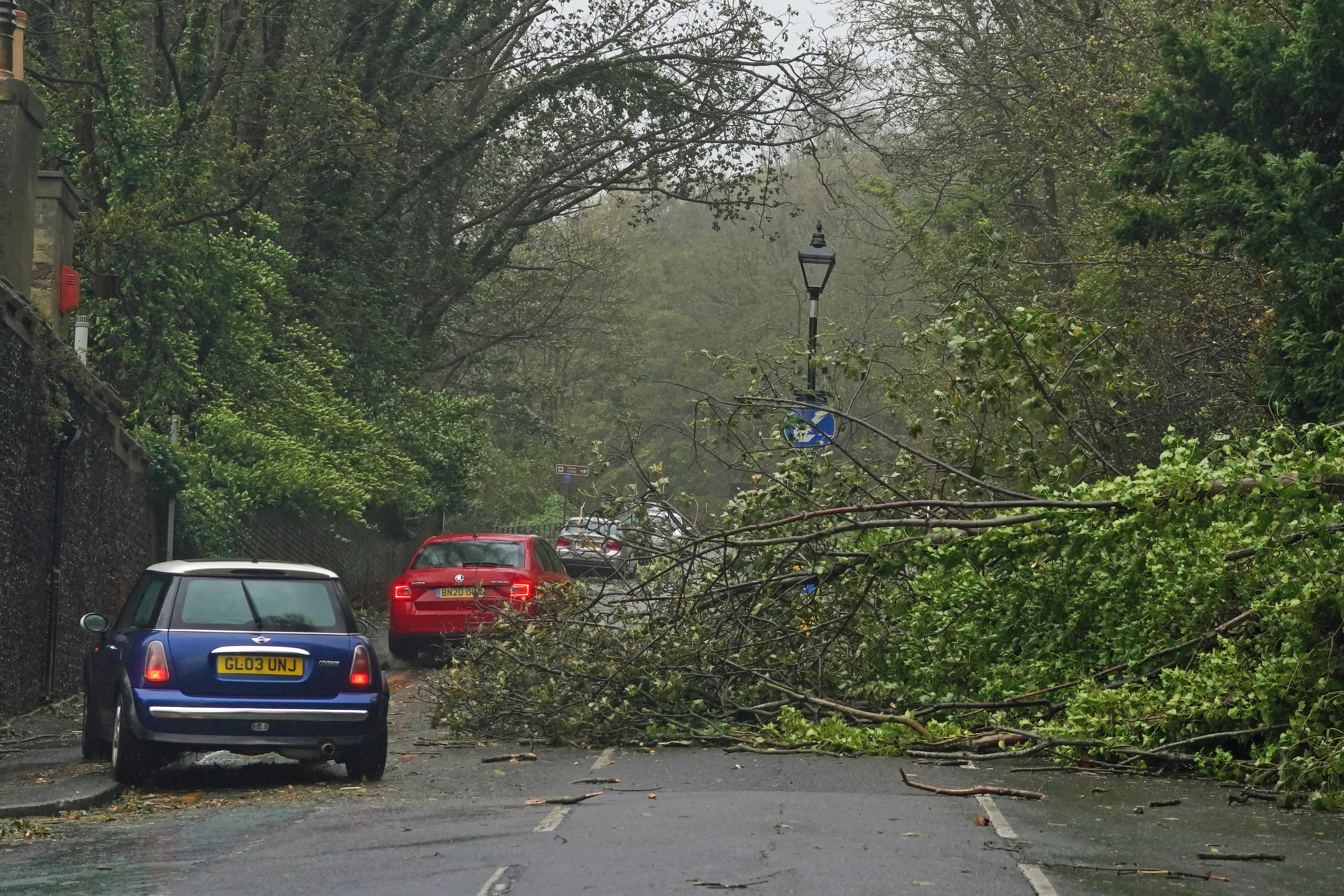
Motorists urged: ‘Avoid coasts and rural roads where there’s a greater chance of falling branches and trees'
Motorists have been warned to avoid coasts and rural roads following reports of falling trees.
RAC Breakdown spokesperson Rod Dennis said: “Sticking to major routes, away from coasts and rural roads where there’s a greater chance of falling branches and trees, is a good policy.
“Drivers should keep a firm grip of the steering w heel and take particular care when passing high-sided vehicles, which can cause an unnerving buffeting effect that some people may not be familiar with.”
He added: “While there’s a chance roads may be busier in the event of public transport disruption, we’d still advise anyone not confident driving in these sorts of conditions to consider delaying their journeys until Ciarán moves away later in the week.”

Watch: Journalist pushed over by strong winds during live Storm Ciarán report from Jersey
A Sky News journalist was pushed over by strong winds during a live report from Jersey on Thursday 2 November.
Ashna Hurynag was on the scene in Saint Helier covering Storm Ciarán, beginning her report by saying she had “never felt windspeeds like this”.
She continued to battle the adverse weather conditions but shortly after, Ms Hurynag was pushed over by the winds.
“We are sheltering away from the seafront... but even having said that, you can see the way the wind has just pushed me over,” the reporter said, quickly regaining her composure.

Journalist pushed over by strong winds during live Storm Ciarán report from Jersey
UK saw over a third more rain than average this month
Northern Ireland had its fifth wettest October on record with 191.8mm being 68% more than its average. England had its eighth wettest on record with 147.2mm of rain, which is 63% more than average.
In addition to some counties in the east of Scotland, Staffordshire, Nottinghamshire and the Isle of Wight also provisionally had their respective wettest October on record. In Northern Ireland, counties Armagh and Down also had their wettest October.
The UK saw over a third more rain than average with 171.5mm in what was provisionally the joint-sixth wettest October on record, the Met Office has said.

Tornado watch warning issued
One or two tornados could hit the UK as it is battered by strong winds and heavy rain, according to the Tornado and Storm Research Organisation (TORRO).
“The highest risk of one or two tornadoes would likely be along and south of a line from S Wales to London, but the risk cannot be ruled out a bit further north too,” it said.
Watch - Bus has front window blown out by Storm Ciarán winds

Bus has front window blown out by Storm Ciarán winds
Floods minister releases statement
Floods Minister Rebecca Pow said: “I am grateful to the emergency services teams across the country working incredibly hard to respond to Storm Ciaran which continues to bring strong winds and rain across the south coast.
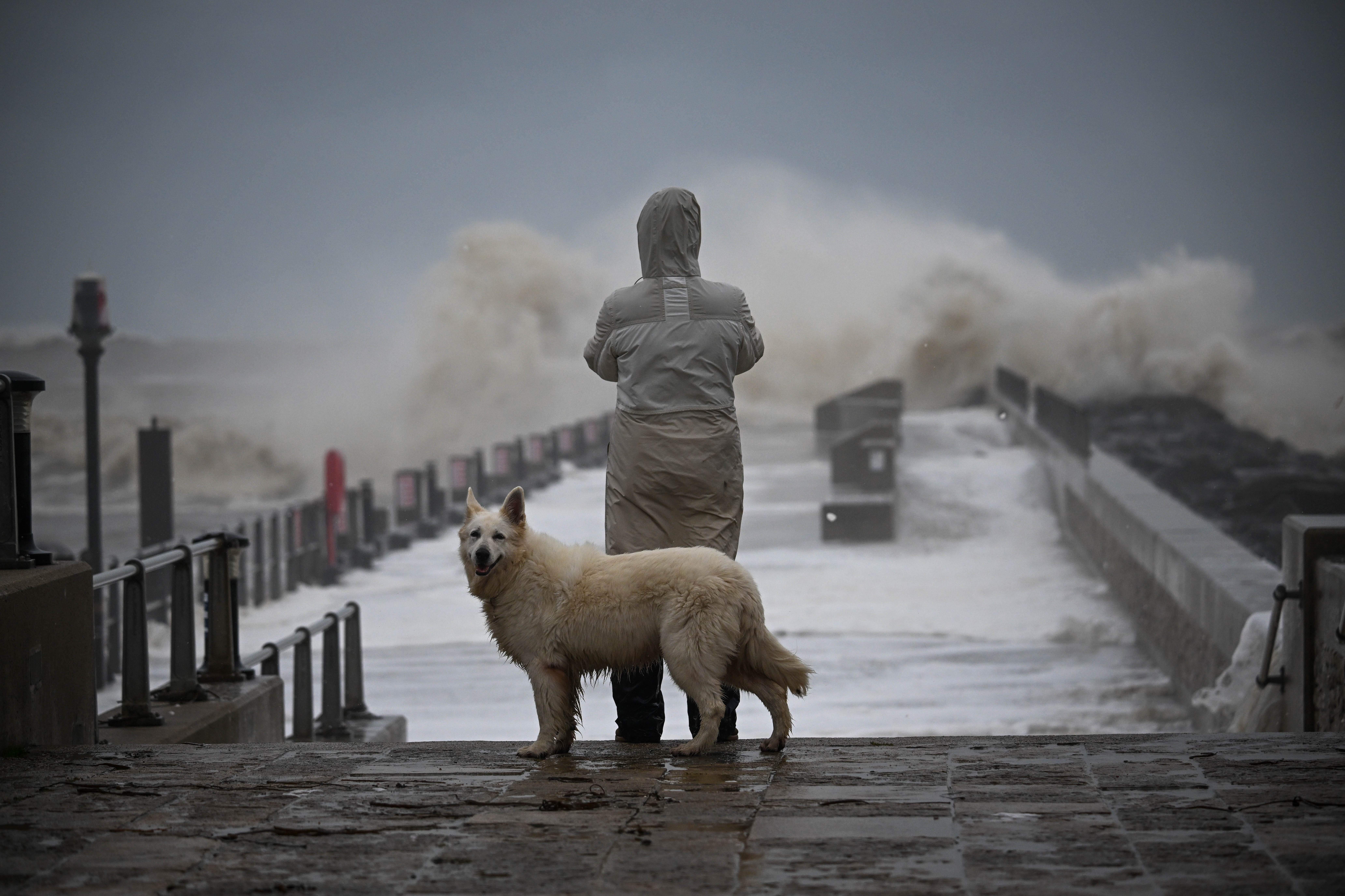
“Potential flooding risks remain across the country with river levels remaining high with large waves at the coast and saturated ground. Environment Agency teams are on the ground operating assets, clearing rivers and debris from falling trees and working with partners to support residents in communities at risk or recently affected by flooding.
“We have activated our Emergency Operations Centre, and are supporting the Cabinet Office to coordinate the government response.”
Storm Ciarán batters UK as roofs torn off homes and cars smashed by ‘golf-ball-sized hailstones’
Roofs were torn off homes and “golfball-sized hailstones” hit as Storm Ciarán battered southwest England, bringing travel chaos, school closures and leaving thousands of homes without power.
As winds of up to 104mph swept across the UK, the Channel Islands were particularly badly affected by the severe thunderstorm, which is thought to be the worst to hit the small island of Jersey since 1987.
Residents on the island endured a “terrifying” night as dozens were forced to flee their homes, while a tornado warning was issued by the Tornado and Storm Research Organisation (TORRO) from south Wales to London, as winds and heavy rain brought havoc.
Hundreds of schools were closed in the south of England because of the risk to pupils, after the Met Office issued a yellow weather warning for winds that were “strong and potentially disruptive” in the southwest, Wales, London, the southeast and the east of England.


Join our commenting forum
Join thought-provoking conversations, follow other Independent readers and see their replies
Comments