UK weather: ‘Tropical night’ ahead but mini heatwave set to end with rain and thunder
As the UK experiences highs of 30C, the Met Office predicts the heatwave will be short lived

Your support helps us to tell the story
From reproductive rights to climate change to Big Tech, The Independent is on the ground when the story is developing. Whether it's investigating the financials of Elon Musk's pro-Trump PAC or producing our latest documentary, 'The A Word', which shines a light on the American women fighting for reproductive rights, we know how important it is to parse out the facts from the messaging.
At such a critical moment in US history, we need reporters on the ground. Your donation allows us to keep sending journalists to speak to both sides of the story.
The Independent is trusted by Americans across the entire political spectrum. And unlike many other quality news outlets, we choose not to lock Americans out of our reporting and analysis with paywalls. We believe quality journalism should be available to everyone, paid for by those who can afford it.
Your support makes all the difference.The UK is set for heavy rain and thundery showers after the country was hit by a mini heatwave with temperatures of up to 31C.
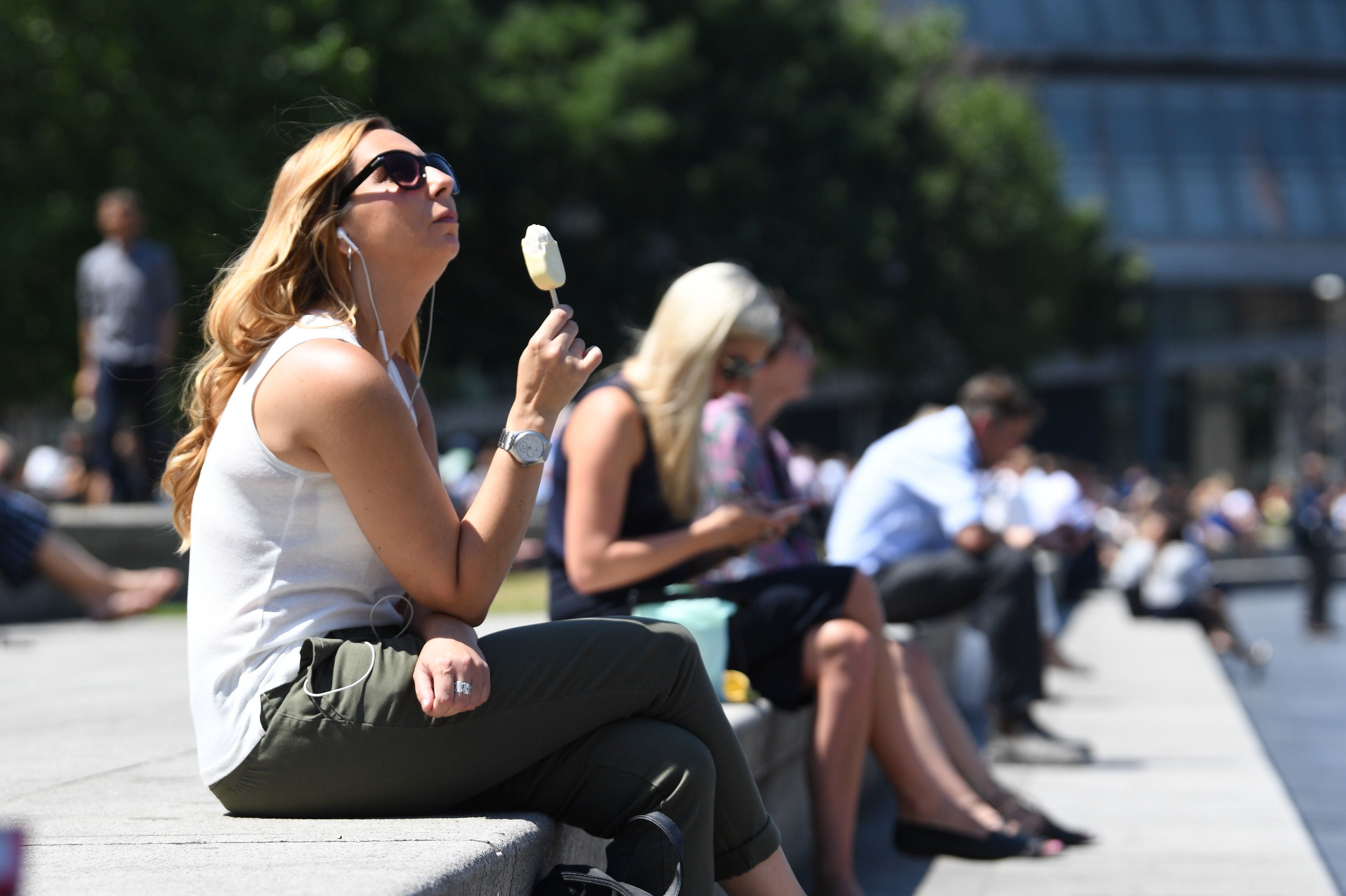
As people soaked up the sunshine amid the mini heatwave, the Met Office has said that change should be expected as the high temperatures will not last.
People should expect a “tropical night” on Friday across most parts of the UK, where temperatures are expected not to fall below 20°C overnight.
However, parts of the South East will experience change from Friday night into Saturday.

Meteorologist Annie Shuttleworth said: “For the last few weeks, we’ve been on the northern side of the jet stream and over the next few days its position will change. It becomes a more amplified pattern, diving down well to the south of the UK and taking low-pressure systems up to the north and west of the UK.
“But, as we head towards the weekend, Sunday most likely, will see the return of the stronger jet core to affect the UK, meaning it is going to turn a bit more unsettled and certainly cooler again.”
A cooler front will sweep from west to east from the early part of Saturday. Areas in the east could still experience highs up to 30C, but it is uncertain whether this will remain.
Western Scotland and Northern Ireland will not experience these changes as things will remain cloudy with sporadic rainy spells.
Heavy bursts of rain should be anticipated as the day progresses with thunderstorms in the evening as a cooler spell sweeps in.
The forecast for the next few days is as follows:
Friday
Cloudy in the northwest, but sunny spells developing with temperatures near average. Elsewhere, sunny spells and very warm or hot in the sunshine with light winds. Staying warm overnight.
Outlook for Saturday to Monday
An increasing risk of rain or heavy showers on Saturday, remaining very warm. Drier, brighter and fresher on Sunday. Blustery with rain or showers on Monday and feeling cooler.
Next week
A cooler but not chilly week as temperatures will remain above 20C but the UK should expect sporadic rainy and thunderous spells.
Join our commenting forum
Join thought-provoking conversations, follow other Independent readers and see their replies
Comments