UK weather: Two-day warning as heavy rain and strong winds to batter Britain
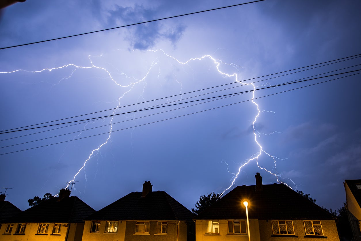
Heavy rain and strong winds could disrupt travel and cause flooding
The Met Office has issued yellow weather warnings for parts of the UK as strong winds and torrential downpours are set to batter the country.
The first weather warning is in place on Tuesday and warns of heavy showers for the western part of Scotland covering areas such as Dumfries, Lockerbie and Moffat.
Scotland and Northern Ireland will be struck by strong winds and coastal gales.
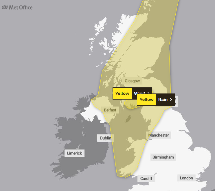
Wednesday’s warning covers a much larger swathe of the UK and takes in most of Scotland, Northern Ireland, the north-east of England and parts of Wales.
It warns of heavy rain that could disrupt travel and that there is a chance Britons could experience some delays due to spray or flooding on roads.


There is also a wind warning in place on Wednesday. It warns that there is a small chance of damage to buildings, longer journey times and that roads and bridges could be closed.
There may also be intermittent power cuts and some impact to your mobile phone coverage.
The north and west of the UK may also see some thunderstorms and it will continue to be windy in coastal areas. The rest of the week will also see scattered showers with occassional rays of sunshine.
Met Office forecast for the next five days
Today:
Cloud and rain across Wales and northern England, heavy on hills. Often cloudy further S, with some light rain in southwest at times. Some bright or sunny spells in southeast and feeling rather warm. Blustery showers in north.
Tonight:
Rain over central parts pushing northwards across much of Scotland and Northern Ireland with strong winds and coastal gales. Mild night in east and southeast.
Wednesday:
Band of rain, occasionally heavy, clearing eastwards followed by scattered blustery showers. These locally heavy in north and west with a risk of thunder. Windy with coastal gales.
Outlook for Thursday to Saturday:
Sunshine and blustery showers, most frequent in the north and west, tending to ease by Saturday. Probably turning more generally unsettled from the west later Saturday, however. Temperatures around average.
Join our commenting forum
Join thought-provoking conversations, follow other Independent readers and see their replies
Comments