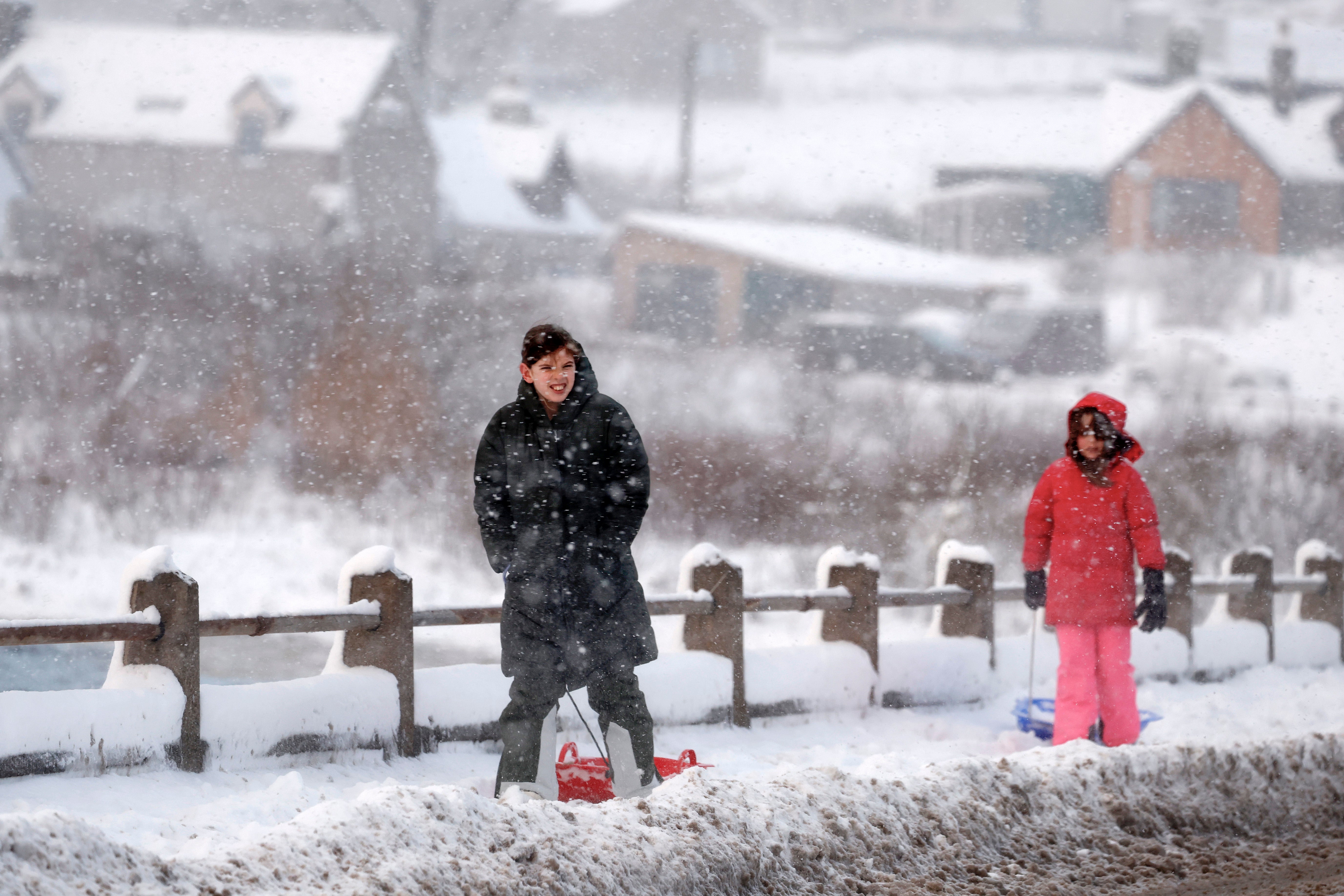
Met Office warns over ‘once in 250-year’ weather event taking place over UK
Temperatures are set to plummet due to an exceptionally rare phenomenon of three Sudden Stratospheric Warmings during the same period
Your support helps us to tell the story
From reproductive rights to climate change to Big Tech, The Independent is on the ground when the story is developing. Whether it's investigating the financials of Elon Musk's pro-Trump PAC or producing our latest documentary, 'The A Word', which shines a light on the American women fighting for reproductive rights, we know how important it is to parse out the facts from the messaging.
At such a critical moment in US history, we need reporters on the ground. Your donation allows us to keep sending journalists to speak to both sides of the story.
The Independent is trusted by Americans across the entire political spectrum. And unlike many other quality news outlets, we choose not to lock Americans out of our reporting and analysis with paywalls. We believe quality journalism should be available to everyone, paid for by those who can afford it.
Your support makes all the difference.A once-in-a-250-year weather event is underway across the UK that could bring bitter wintry conditions across swathes of the country, the Met Office has said.
A Sudden Stratospheric Warming event, which is associated with very cold weather and brought the Beast from the East in 2018, usually hits the UK every other year.
But the Met Office says that this extended winter period, from November last year to March, is the first time three SSW events have been recorded since records began.
An SSW is a disruption of the normal westerly airflow 10 to 50 km above the Earth. This often makes the jet stream meander more, which can lead to the development of a large area of high pressure over northern Europe at the Earth’s surface.
This can ‘block’ the Atlantic low-pressure systems which are responsible for the relatively mild, wet and windy weather that often occurs in UK winters, the forecaster says. This blocking pattern increases the chance of cold, dry weather in the UK and mild, wet and windy conditions for southern Europe.

Professor Adam Scaife, head of long-range forecasting at the Met Office, said: “Although we have not seen it before, we recently documented the chances of an unprecedented three SSW events happening in one winter.
“Our research work, using multiple computer simulations, showed that this could occur about once in every 250 winters.”
Although the event does not always lead temperatures to plummet, 70 per cent of SSW occurrences are linked to a cold snap.
Professor Scaife added: “Although this is very rare, we also found that the chance of multiple SSW events is increased... and so the chance of multiple events this winter is raised.”
The chaos-inducing ‘Beast From the East’ snowstorm of March 2018 was caused by this process, which saw heavy snow, ice and strong winds that caused 17 fatalities and brought the country to a standstill.
The good news is that the interval of several weeks between an SSW taking place and its beginning to impact our weather is long enough that it can be reliably tracked with satellites.
For now, the rare trilogy of SSWs has not led to a forecast as dire as the snowstorm from five years ago. Currently, the Met Office weather forecast predicts a chilly weekend with cold winds and some outbreaks of rain.
Met Office meteorologist Annie Shuttleworth said: “Across many eastern areas of Scotland, northeastern England as well, there will be a cloudy start to the weekend, some drizzly rain is likely.
“Across the north and west, it will be much drier and brighter so parts of western Scotland, northwest England and Northern Ireland will see a fairly dry and bright picture through much of the weekend, but it will be quite a lot breezier through Saturday with some gusty winds expected over the high ground.”
Five-day Met Office forecast
Friday night:
Dry to start for many overnight, although cloudy at times, particularly in the northeast. Cloud thickening in the southwest as showery rain spreads northeast overnight. Remaining windy.
Saturday:
Remaining unsettled on Saturday with showers continuing to spread northeast through the day. Cloudy for most, although some brighter spells in the far southeast and northwest. Brisk easterly winds.
Outlook for Sunday to Tuesday:
Rain becoming more widespread on Sunday. Turning drier from the west through Monday, and winds easing. Dry for most on Tuesday, before rain and cloud arrives from the west later.
Join our commenting forum
Join thought-provoking conversations, follow other Independent readers and see their replies
Comments