UK weather: How long will thunderstorms last? Met Office gives an update
Met Office predicts a mix of sunny spells and showers across the country

Large parts of the UK have been battered by heavy rain this week, with the Met Office forecast showing continued unsettled weather for a few days before it gets better.
The latest forecast shows disruptive and unsettled weather is set to continue this week. Longer sunny spells, however, will bring respite in some areas.
On Thursday, there will be a mix of sunny spells and showers across the country, the forecaster says. While the showers will be locally heavy in the north, they will be lighter and fewer in number compared to recent days elsewhere.
The good news is that the winds will also be lighter, giving a slightly warmer feeling when the sun appears.
The showers will gradually ease by the end of the day allowing clear spells to develop overnight. However, areas including Northern Ireland, Wales, Northern England, and southern Scotland may experience patchy rain.
The southwest region can also expect heavier rain accompanied by strengthening winds later in the night, the Met Office warns.
The UK has been lashed by heavy rain since last weekend, with showers prompting yellow weather warnings and causing flash floods in several parts.
Cars were seen stranded on waterlogged roads. Many motorists had to abandon their cars in water-filled roads, while some others were rescued due to deep water in parts of the country.
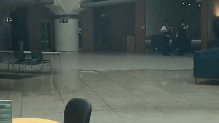
Water flooded the floor of the Parliament’s Portcullis House on Tuesday after its glass roof broke, filling water on the floor of the building’s atrium.

“The UK is predominantly under the influence of low-pressure, which is continuing a showery regime, with some potentially heavy and thundery showers possible at times through the week,” says Met Office chief meteorologist Andy Page.
“While not everywhere in the UK will experience the heaviest downpours, it will remain an unsettled and relatively cool period, in stark contrast to the heat we experienced in June.”
The Met Office forecast showed Britons are set to get some respite from the thunderstorms as the weekend approaches.
But on Friday, wet and windy conditions are expected to sweep across most parts of the country, the forecaster said. Rain will continue to affect northern regions over the weekend, while other areas will see brighter spells, but some with heavy showers.
However, with the start of the next week, the persistent rain in the northeast will begin gradually easing, the long-range forecast showed.
The showers will generally be less intense or heavy compared to recent days, although some heavier showers and thunderstorms are still possible, mainly in the north, the forecaster said.


Join our commenting forum
Join thought-provoking conversations, follow other Independent readers and see their replies
Comments