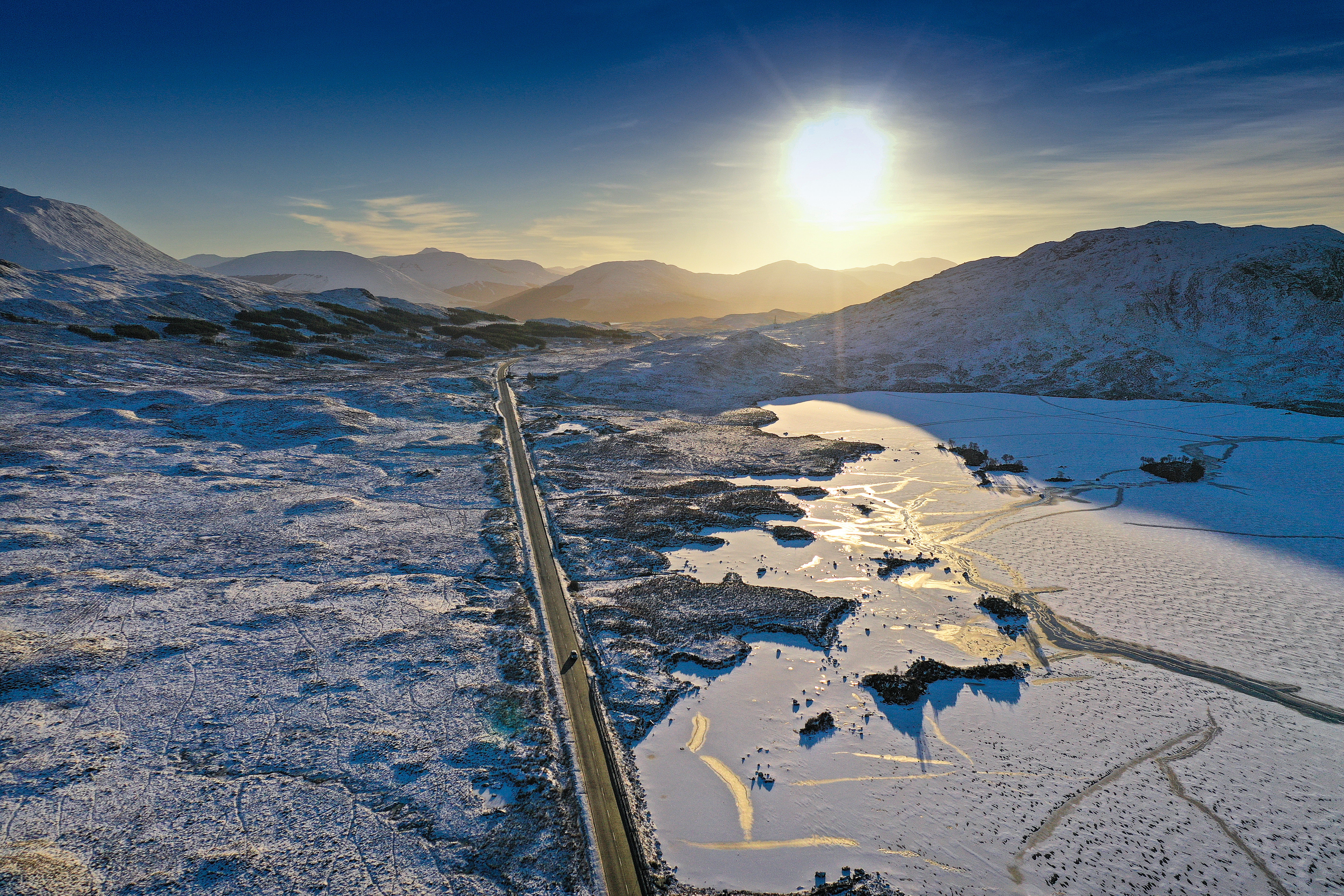
UK weather: Ice and snow warnings ahead of possible ‘Beast from East II’ next week
Motorways could be hit by freezing rain, snow and ice

Your support helps us to tell the story
From reproductive rights to climate change to Big Tech, The Independent is on the ground when the story is developing. Whether it's investigating the financials of Elon Musk's pro-Trump PAC or producing our latest documentary, 'The A Word', which shines a light on the American women fighting for reproductive rights, we know how important it is to parse out the facts from the messaging.
At such a critical moment in US history, we need reporters on the ground. Your donation allows us to keep sending journalists to speak to both sides of the story.
The Independent is trusted by Americans across the entire political spectrum. And unlike many other quality news outlets, we choose not to lock Americans out of our reporting and analysis with paywalls. We believe quality journalism should be available to everyone, paid for by those who can afford it.
Your support makes all the difference.Warnings of ice and snow are in place for Northern Ireland and much of northern Britain ahead as the country prepares for another cold snap that could see a return of the ‘Beast from the East’ next week.
A band of rain moving in from the west will bring with it milder temperatures for western part of the UK and Northern Ireland. Cold air is still in place across parts of the north and east of the country.
The two contrasting weather conditions meeting could lead to freezing rain and heavy snow.
Rainfall may be heavy in parts of Wales and Northern Ireland Wednesday morning. A Met Office yellow warning for rain has been issued for Northern Ireland until 3pm Thursday.
As the weather front moves across the UK, it could turn to freezing rain and ice as it hits frozen ground in the north of England. Part of the M6 and M8 motorways could be affected by this.
The rain will move into southeastern England and East Anglia by mid afternoon, leaving behind clear skies for the southwest and temperatures up to 11C.
Snow may fall Wednesday over higher parts of Scotland and Wednesday night over northeast England. The Pennines, Cheviots and Grampian mountains may all receive a dusting of snow Wednesday.
Up to 20cm of snow could fall on some of the hills but Met Office’s Alex Deaken highlighted: “it really is tricky to see how much [snow] we’ll see.”
A yellow weather warning for snow and ice is currently in place for Northern England and Scotland until 9pm Thursday.
This wintry weather could spread further south Thursday. Rain will gradually clear for Scotland and Northern England on Thursday while the southeast will experience heavy outbreaks.
Friday should be drier and brighter. Colder temperatures will persist into the weekend and beyond, with potential for some more snow next week.


Join our commenting forum
Join thought-provoking conversations, follow other Independent readers and see their replies
Comments