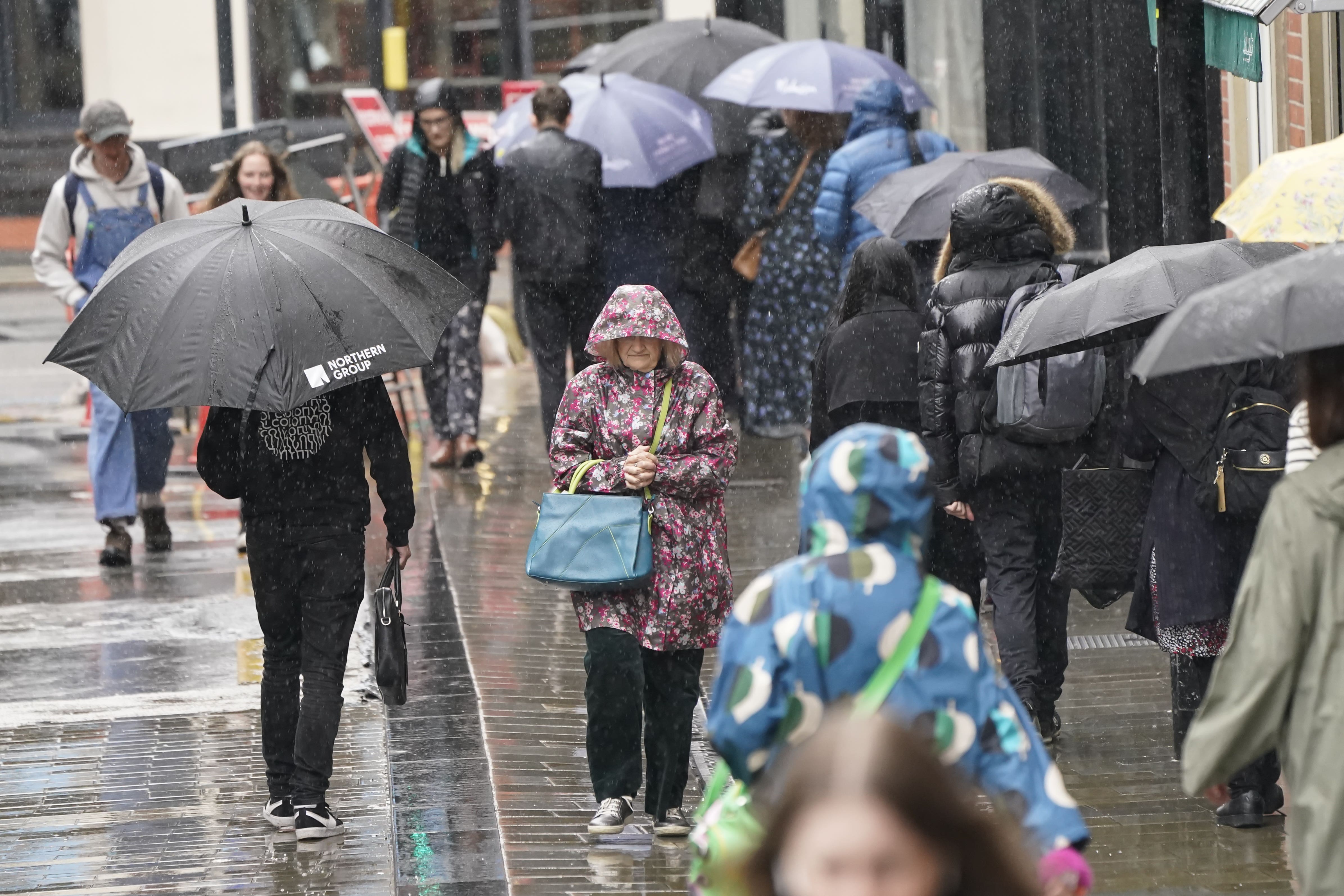
When is the weather set to turn for the worse following UK’s hottest day of the year?
Thursday is set to be the wettest day of the week with rain and windy showers across parts of the UK
Your support helps us to tell the story
From reproductive rights to climate change to Big Tech, The Independent is on the ground when the story is developing. Whether it's investigating the financials of Elon Musk's pro-Trump PAC or producing our latest documentary, 'The A Word', which shines a light on the American women fighting for reproductive rights, we know how important it is to parse out the facts from the messaging.
At such a critical moment in US history, we need reporters on the ground. Your donation allows us to keep sending journalists to speak to both sides of the story.
The Independent is trusted by Americans across the entire political spectrum. And unlike many other quality news outlets, we choose not to lock Americans out of our reporting and analysis with paywalls. We believe quality journalism should be available to everyone, paid for by those who can afford it.
Your support makes all the difference.Following a weekend of sunshine and the hottest day of the year on Monday, it is no surprise that thousands of Brits have dashed for the seaside to soak up the August sun.
Unfortunately, the high temperatures and sunny conditions enjoyed over the last few days are expected to dissipate, with rain, wind and clouds expected to hit the UK.
It comes after a temperature of 34.8C was recorded in Cambridge with a yellow heat health alert issued by the UKHSA for London and the south and east of England.

Speaking to The Independent, Tom Morgan, a meteorologist at the Met Office, said that Brits hoping for a hot second half to August were likely to be disappointed with the miserable change in weather.
“Short answer is no, the hot weather is not going to continue,” he said. “The heat primarily will be confined to the far east of England, not as high temperatures as we’ve seen today.”
“Today was the hottest day since 2022, we might see temperatures tomorrow reach 29 degrees in East Anglia, but not as humid. There will be rain in the west, a band pushing in from the Atlantic for Northern Ireland, Scotland, parts of Wales and England.”
After Tuesday, the weather is looking to become more changeable, with regions across the UK expecting a grey and cloudy Wednesday with heavy rain on Thursday.
Mr Morgan said: “Thursday is looking to be the wettest day of the week, the northern parts of the UK will see heavy rain and it’s expected to be windy. The winds probably won’t cause too much travel disriptuon but are strong for this time of year, with coastal gales from the Irish Sea. Camping will be unpleasant across north Wales and northern England.”
During this weekend’s heatwave, a two-year-old boy died in hospital after being pulled from a canal in Wolverhampton during hot weather on Sunday afternoon, according to West Midlands Police.
On Monday afternoon the Met Office posted on social media: “It’s been the hottest day of 2024 so far with 34.8°C recorded in Cambridge today.
“Provisionally this is only the 11th year since 1961 temperatures as high as this have been recorded.
“8 of those years have been since 2000 and 6 of them have been in the last decade.”

Before Monday, the hottest day of 2024 had been Friday July 19 when temperatures reached 31.9C in central London.
Not all of the UK experienced the heat however, with thunderstorms and torrential downpours affecting parts of Northern Ireland, Scotland and northern England on Monday morning. A yellow weather warning remained in place until 1pm, with the storms clearing into the North Sea by the early afternoon.
This week’s weather forecast:
This Evening and Tonight:
Any remaining showers and thunderstorms clearing, with clear spells for many. Remaining warm across the southeast, but feeling fresher elsewhere. However, further cloud and rain moving into Northern Ireland and the far west of Scotland, England and Wales later.
Tuesday:
Often cloudy in the west with outbreaks of rain, although brighter later in Northern Ireland. Largely dry and sunny elsewhere and very warm in the southeast.
Outlook for Wednesday to Friday:
Largely dry and bright on Wednesday. Windy on Thursday with a spell of heavy rain. Sunny spells and a few showers on Friday. Temperatures returning closer to average.

Join our commenting forum
Join thought-provoking conversations, follow other Independent readers and see their replies
Comments