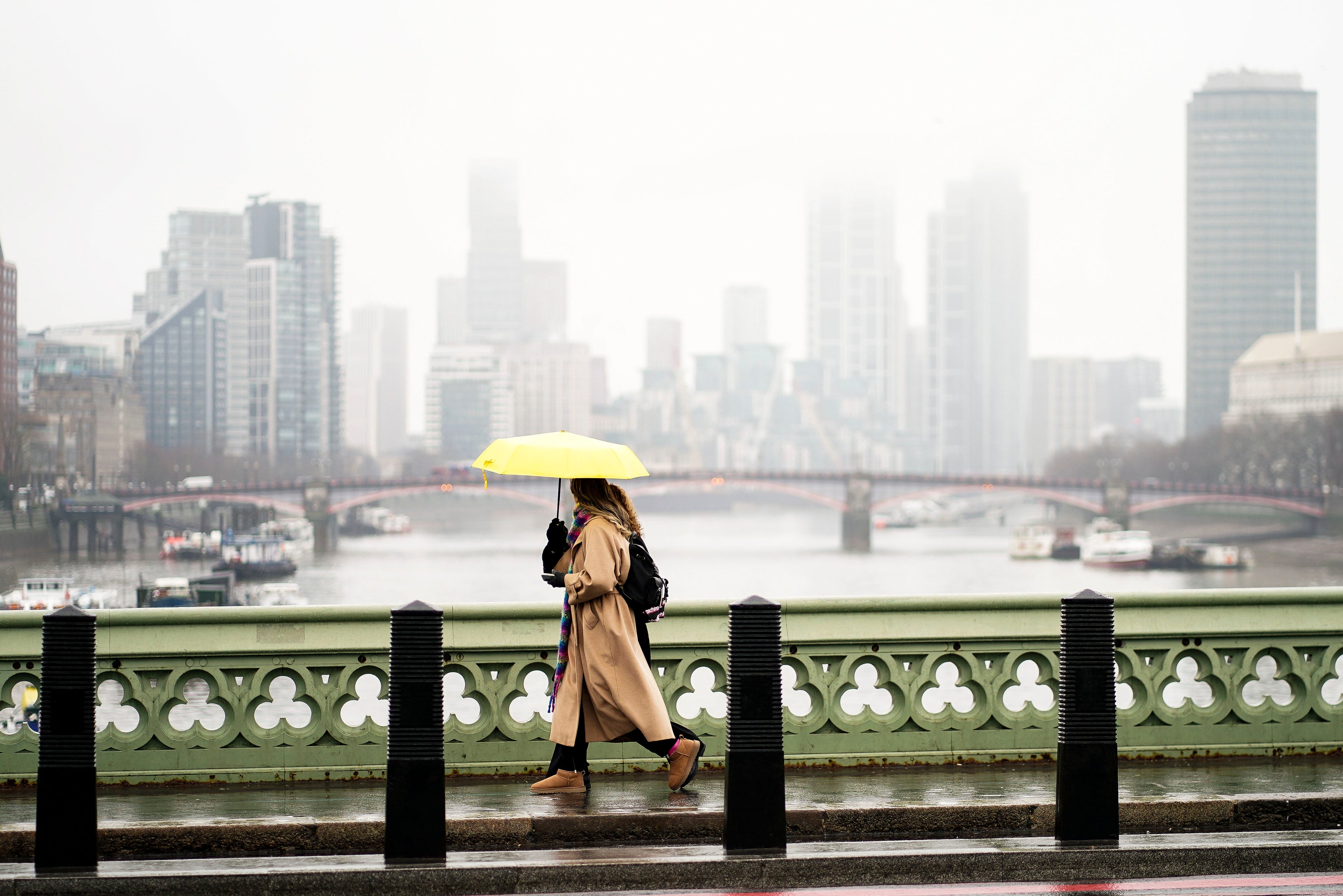
UK weather: Met Office says more rain and freeze expected across Britain
UK has experienced a wet month so far

Your support helps us to tell the story
From reproductive rights to climate change to Big Tech, The Independent is on the ground when the story is developing. Whether it's investigating the financials of Elon Musk's pro-Trump PAC or producing our latest documentary, 'The A Word', which shines a light on the American women fighting for reproductive rights, we know how important it is to parse out the facts from the messaging.
At such a critical moment in US history, we need reporters on the ground. Your donation allows us to keep sending journalists to speak to both sides of the story.
The Independent is trusted by Americans across the entire political spectrum. And unlike many other quality news outlets, we choose not to lock Americans out of our reporting and analysis with paywalls. We believe quality journalism should be available to everyone, paid for by those who can afford it.
Your support makes all the difference.Heavy rains and thunderstorms are expected to continue across the UK in the coming days despite some sunny spells, according to the latest Met forecast.
On Thursday, a mixture of sunny spells and blustery showers will exist, the Met Office has said, with some heavy rain and a risk of hail and thunder in a few areas.
A spell of more persistent rain will affect southern and southeast England during the afternoon and evening. Overall, the conditions will remain windy but milder.
On Friday, the heaviest and most frequent showers will occur in the south and west accompanied by gusty winds. Northern Scotland will see some rain and drizzle.
Over the weekend, there could be more persistent rain in the south as colder air will move in, also bringing some wintry showers mainly in the north and east.
The rainy and windy conditions are set to continue further in the week, with a frosty start expected on Monday as coastal and strong winds take over.
Temperatures will be generally below average, the forecaster said, but with lighter winds and sunshine, it will feel quite pleasant for most.
Meteorologist Clare Nasir said strong winds will continue to be a feature of the UK’s weather over the next few days.
“It has been the case over the last 24 hours, with some high waves across Scotland and gales through Wednesday evening, becoming confined to Shetland as this batch of heavy weather moves from the west towards the northeast,” she said. “Expect some heavy bursts of rain causing problems on the roads.”
She said there will be a slightly chilly start to the day across Scotland, but with sunshine.
“Through the morning, this area of sharing rain extends across the central belt, covering much of northern England pushing down towards West Wales also across more southern areas, and they were developing through the afternoon,” she explained.
“The sun’s getting stronger in the sky. Some could turn heavy with the risk of thunder or sharing rain. Of an island later and we’ll see clouds thicken across more southern parts of England. And here’s some rain towards evening time, extending towards East Anglia.”
The UK has experienced a wet month so far, and the conditions are set to continue for a while as the jet stream has been shifted to the south throughout much of March.
For much of the remaining March, some spells of rain are likely to push across most areas, with the southeast seeing the driest conditions towards the end of the month. Some strong winds are also likely, with a low risk of gales, mainly for western areas. Temperatures will be generally above average, with colder conditions possible in the north.


Join our commenting forum
Join thought-provoking conversations, follow other Independent readers and see their replies
Comments