Storm Eunice: Heavy snow causes travel chaos as 8 inches fall and drivers warned to stay home
A yellow weather warning for snow is in place until 6pm Friday
Your support helps us to tell the story
From reproductive rights to climate change to Big Tech, The Independent is on the ground when the story is developing. Whether it's investigating the financials of Elon Musk's pro-Trump PAC or producing our latest documentary, 'The A Word', which shines a light on the American women fighting for reproductive rights, we know how important it is to parse out the facts from the messaging.
At such a critical moment in US history, we need reporters on the ground. Your donation allows us to keep sending journalists to speak to both sides of the story.
The Independent is trusted by Americans across the entire political spectrum. And unlike many other quality news outlets, we choose not to lock Americans out of our reporting and analysis with paywalls. We believe quality journalism should be available to everyone, paid for by those who can afford it.
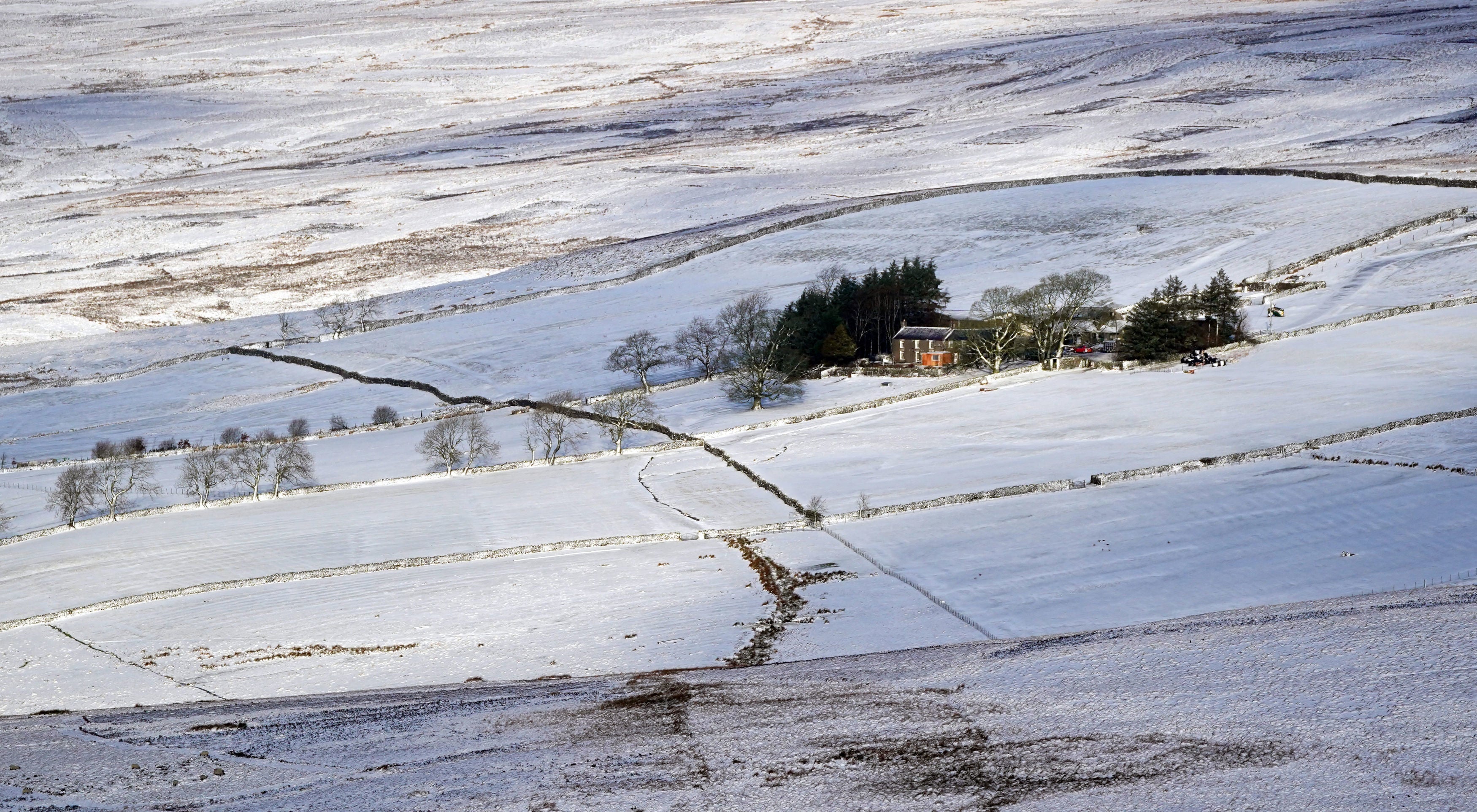
Your support makes all the difference.Motorists are facing severe travel disruption and treacherous driving conditions as Storm Eunice sweeps across the UK, blanketing parts of the country in snow.
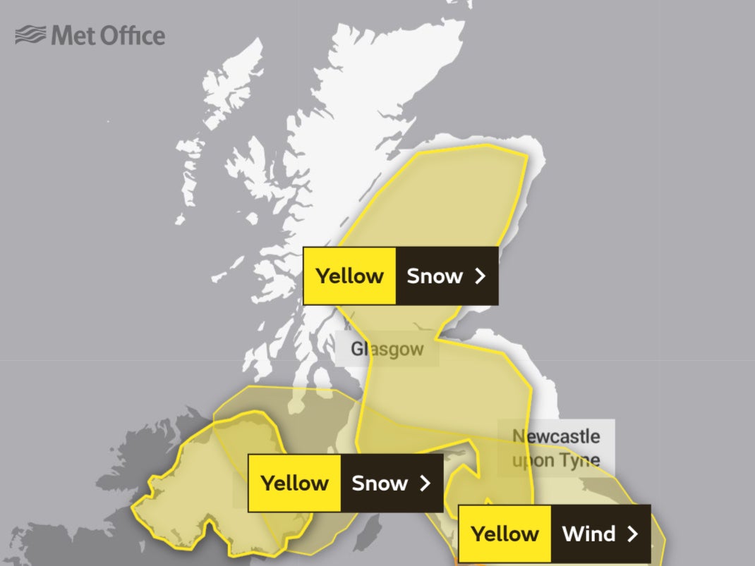
Schools have shut and people are being advised not to travel, with the Met Office issuing a weather warning for snow, in place across much of Scotland until 6pm on Friday.
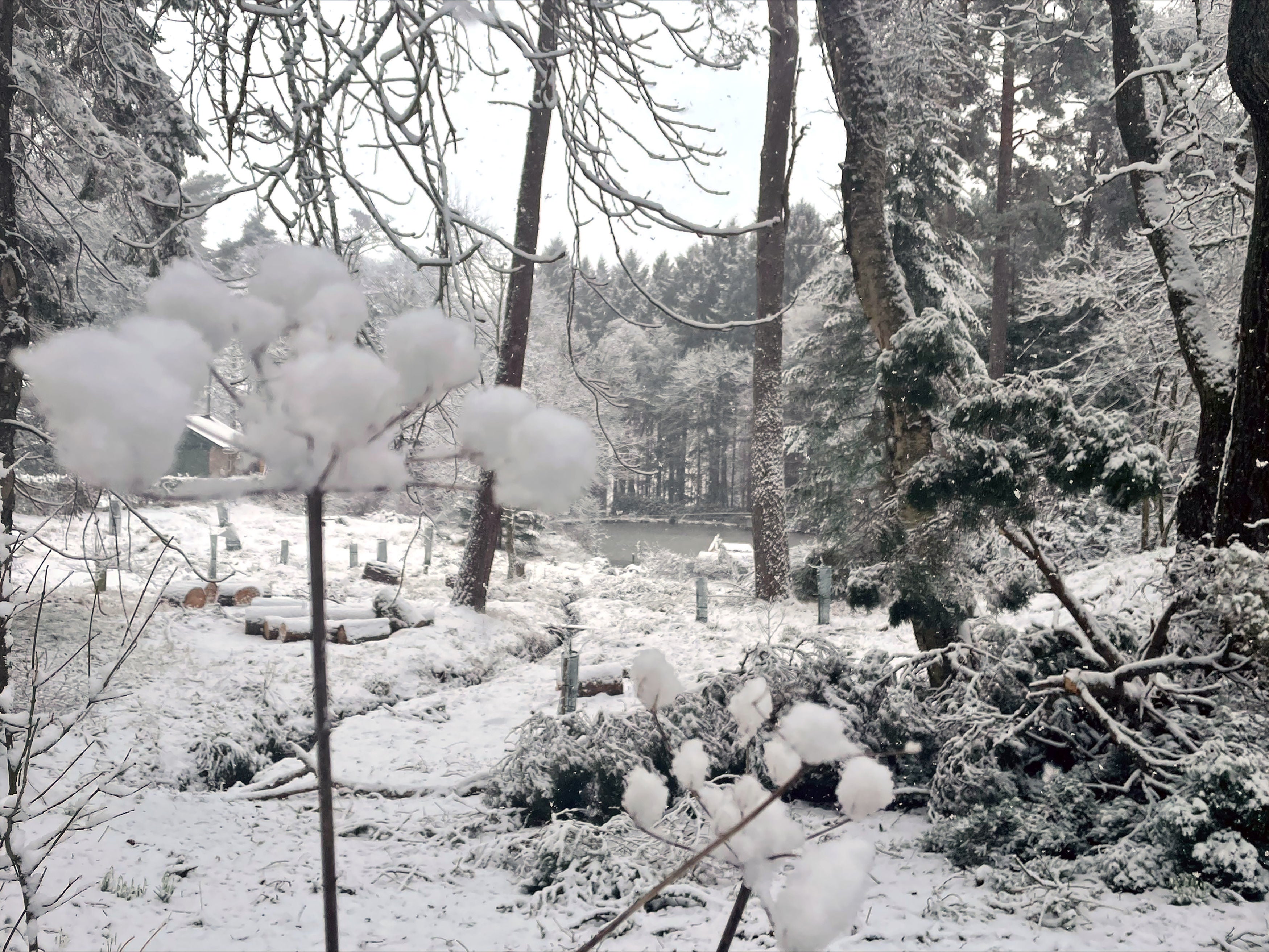
The Met Office, yellow weather warning means there is a chance of travel delays on roads, possibly with stranded vehicles and passengers, along with delayed or cancelled rail and air travel.
Rural communities may be cut off, with the weather forecaster warning power outages could occur.
The snow has already started to cause travel chaos and is forecast to fall throughout the day for most of mainland Scotland south of Inverness and Fort William.
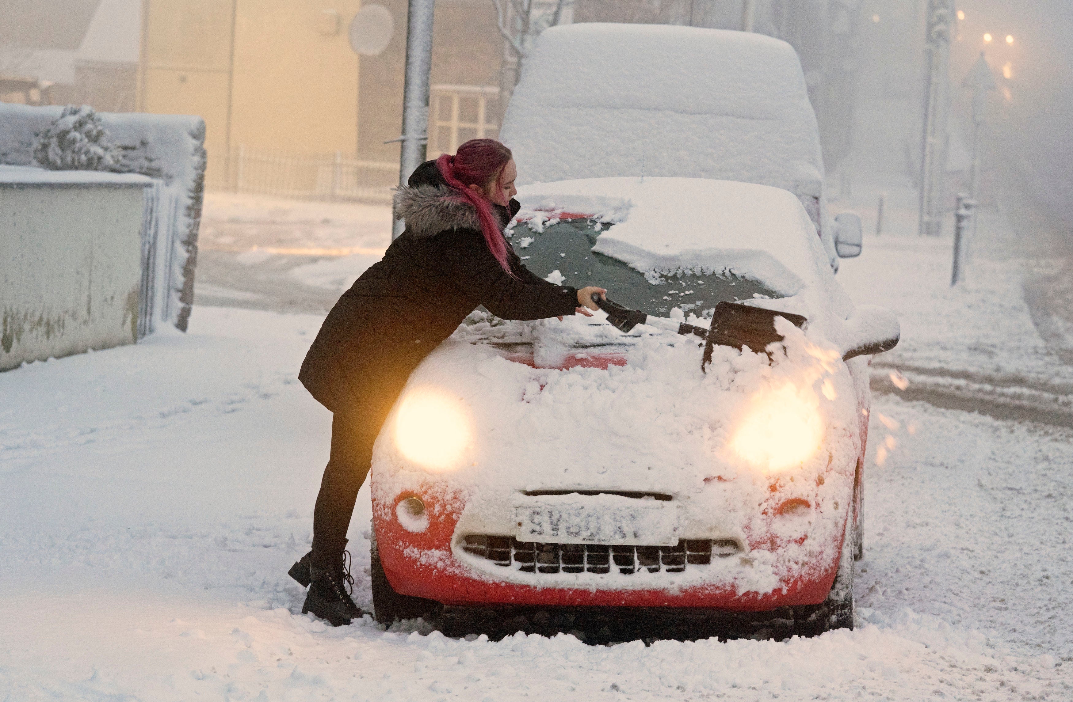
Over 5cm is predicted to fall on lower ground and more than 20cm forecast on higher ground.
The M8 was closed in the eastbound direction at junction five due to the heavy snow. Meanwhile, traffic Scotland wrote on social media that there were reports of vehicles getting stuck on the A68 near Soutra.
Bear Scotland North West Trunk Roads also reported heavy snow across the north-west network. This included at the A83 Rest And Be Thankful, A82 Glencoe, A85 Glen Ogle, and A889 Catlodge.
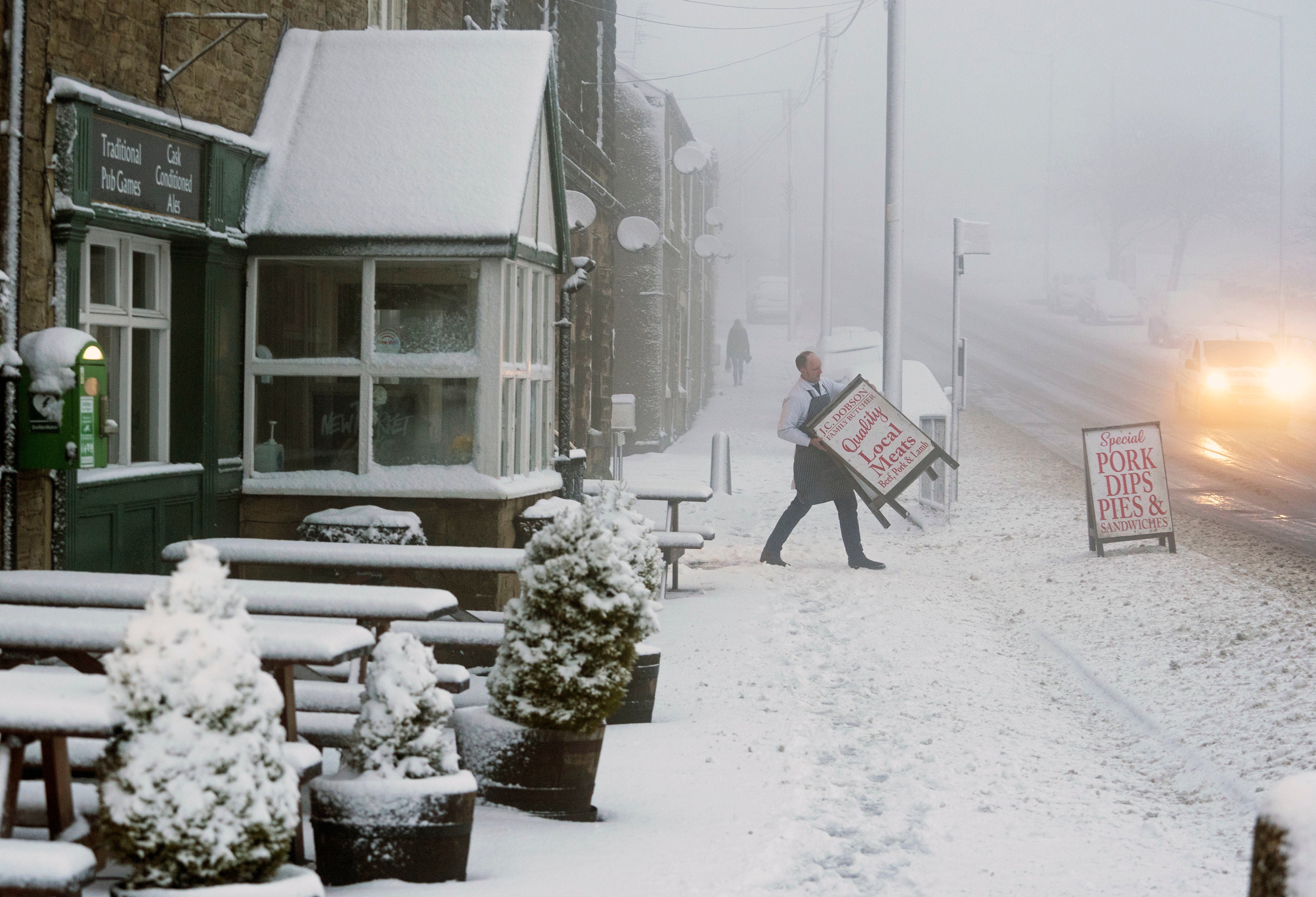
Ferry crossings have also faced disruption on Friday due to adverse weather. Caledonian MacBrayne said that some services may be changed or cancelled at short notice due to the stormy conditions.
Scotland’s Deputy First Minister John Swinney said that Storm Eunice "will bring risk of snow and strong winds across most of Scotland on Friday and danger of coastal flooding in south-west Scotland".
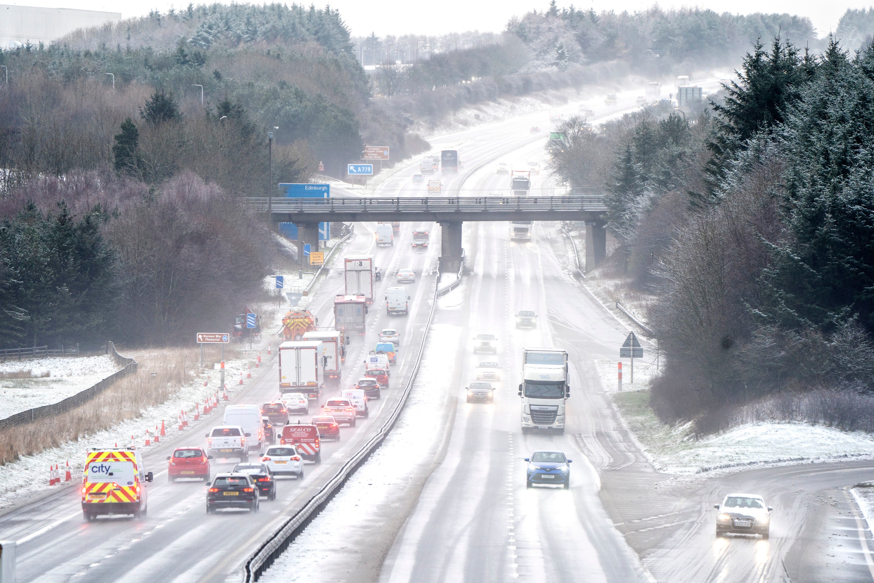
He added: "Please follow all advice and only travel if safe to so do."
Elsewhere, Scottish Mountain Rescue warned of dangerous conditions” including the possibility of avalanches on higher ground.
The organisation’s vice chairman Kev Mitchell said: "The weekend forecast is for very unsettled and, at times, dangerous conditions.
"With the arrival of Storm Eunice on Friday, hills will see high winds and the potential for snowfall to low levels meaning the avalanche forecast will be likely to worsen.
"Good decision-making is key in these situations and often the decision not to go, whilst correct, is the hardest one to make."
Train travel has also been affected with ScotRail announcing that some trains will not be running.
Network Rail Scotland has fitted a number of locomotives with snow ploughs to use as required and is spraying de-icer on key junctions in preparation for the plummeting temperatures.
Glasgow and Edinburgh trains to Arbroath and Montrose to Aberdeen services will not run as sets of points on the line that allow trains to move tracks are not fitted with heaters, which means that they could freeze and get stuck.
MET OFFICE OUTLOOK
Today:
Rain moving northeastwards, turning to snow in the north with large accumulations on Scottish hills. Brighter weather following to England and Wales for a time before further showers arrive. Very windy across England and Wales with damaging gusts in places.
Tonight:
The worst of the winds moderating but remaining windy with clear spells and wintry showers. Some snow settling on northern hills with a risk of ice.
Saturday:
Rain moving eastwards across England and Wales with some snow in the north, mainly on hills, and turning windy again with gales in the south. Brighter across Scotland.
Outlook for Sunday to Tuesday:
Unsettled with further spells of rain and brighter, showery interludes in-between. Showers frequent and heavy in the north and west on Monday, wintry on hills. Windy, gales possible at times.

Join our commenting forum
Join thought-provoking conversations, follow other Independent readers and see their replies
Comments