UK weather: Heavy rain warning for two days as thawing snow risks flooding
The Met Office has issued ice warnings for Scotland and Northern Ireland before downpours on Tuesday and Wednesday
Your support helps us to tell the story
From reproductive rights to climate change to Big Tech, The Independent is on the ground when the story is developing. Whether it's investigating the financials of Elon Musk's pro-Trump PAC or producing our latest documentary, 'The A Word', which shines a light on the American women fighting for reproductive rights, we know how important it is to parse out the facts from the messaging.
At such a critical moment in US history, we need reporters on the ground. Your donation allows us to keep sending journalists to speak to both sides of the story.
The Independent is trusted by Americans across the entire political spectrum. And unlike many other quality news outlets, we choose not to lock Americans out of our reporting and analysis with paywalls. We believe quality journalism should be available to everyone, paid for by those who can afford it.
Your support makes all the difference.A two-day warning for heavy rain has been issued by the Met Office for parts of the UK, with more snow set to fall in Scotland.
It comes after a bitter start to Monday morning, with temperatures struggling to get into double figures and a warning for ice overnight on Sunday.
The new rain alerts begin at 2pm on Tuesday and continue until 6am on Wednesday, as forecasters say heavy downpours and a thaw of lying hill snow could lead to localised flooding and transport disruption.

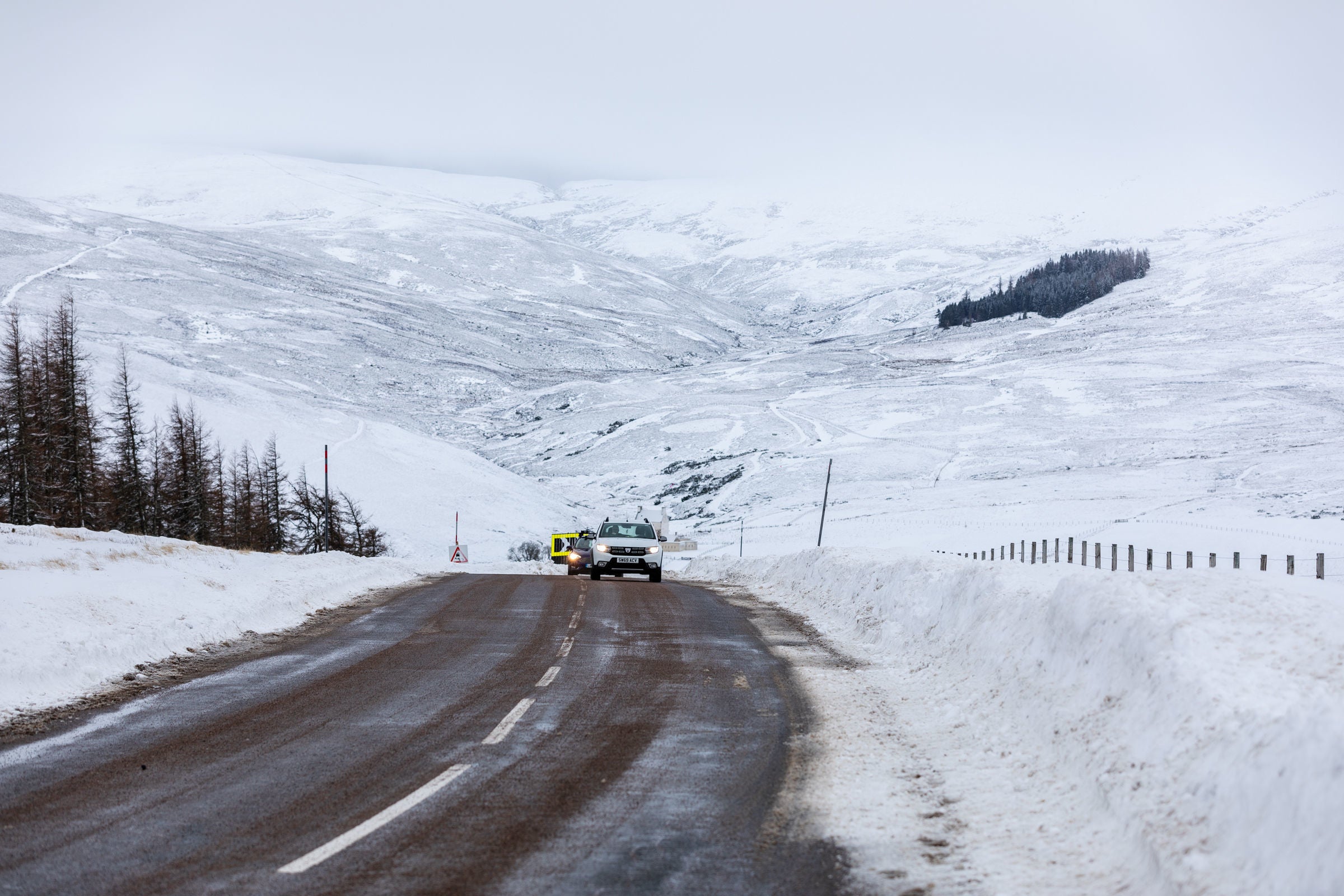
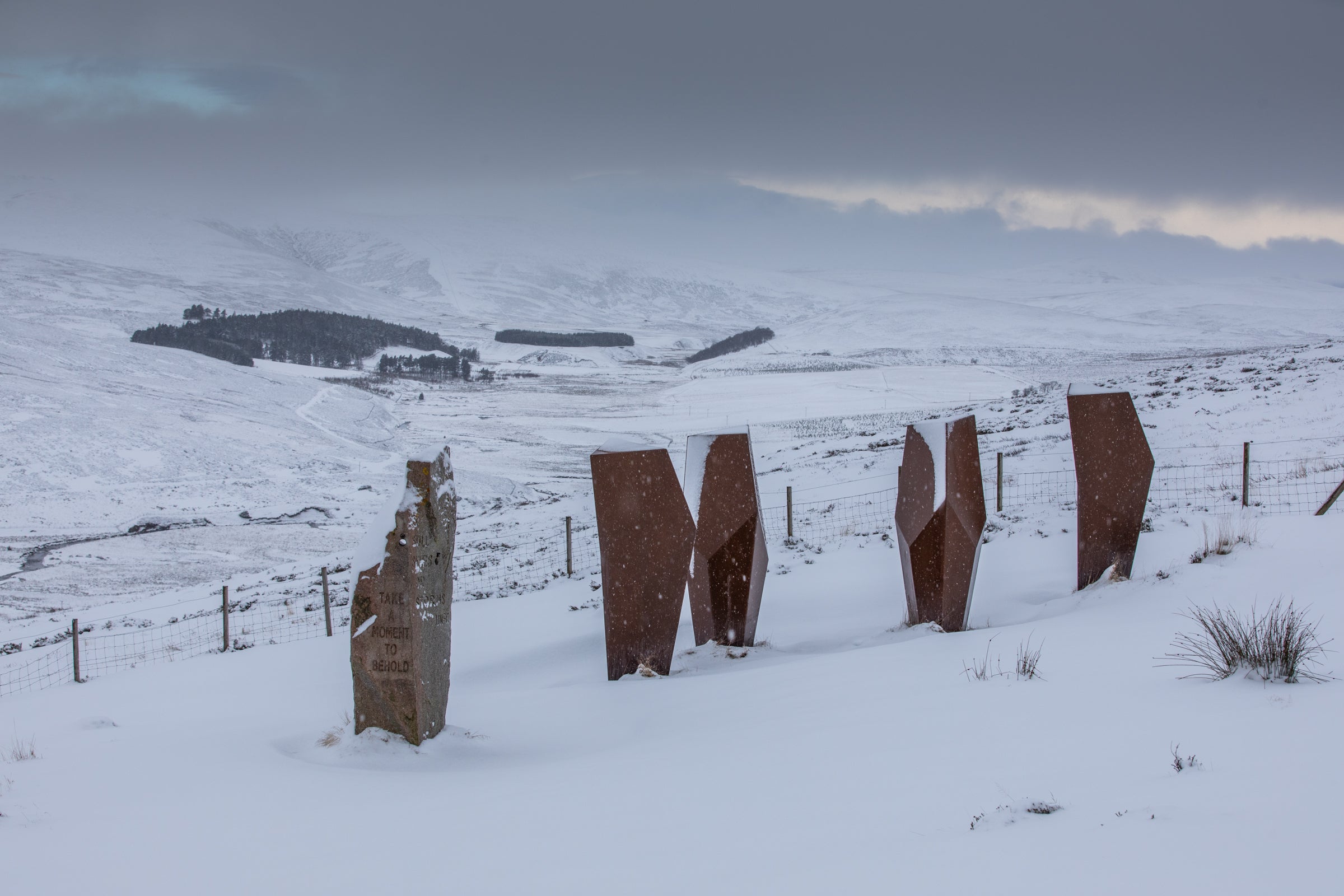
The Met Office warnings cover large parts of Scotland, where more snow is expected overnight. Hill snow is expected to fall from tonight in Grampian, Central, Tayside & Fife, Strathclyde, and Dumfries, Galloway, Lothian & the Borders before clearing northeastwards on Tuesday morning.
But rain is expected across other parts of the UK this week, as low pressure to the north is expected to bring with it showers, some longer spells of rain and strong winds.
Met Office meteorologist Alex Burkshill told The Independent that around 2-5cm of snow will fall over higher ground in Scotland Tuesday morning, but rain and milder air will follow clearing much of it away during the afternoon.
The wintry conditions in the north were bolstered by bitter temperatures last night, falling to -8.6C in Scotland (Altnaharra).
Mr Burkill added that temperatures are likely to plunge to a similar level Monday night.
“At the moment the most likely outcome for next week, and much of January, is a continuation of the current westerly pattern we have,” he said. “As such it will remain changeable with temperatures generally on the mild side. That being said some colder interludes are likely.”
It comes after the Met Office issued yellow warnings for ice across Scotland, Northern Ireland, and northern England that will run until 11am on Monday.
It warned of some injuries from slips and falls on icy surfaces, which will likely form on some untreated roads, pavements, and cycle paths.

In an earlier statement, Mr Burkhill said: “At the moment the jet stream is still running across the UK but as we head into Bank Holiday Monday it’s going to clear away towards the southeast and that will allow for some colder air to push in from the north and will also lead to a ridge of high pressure building which is why the weather is going to turn a little bit calmer, albeit for a just a short period of time.
“Clear skies as we go through the night. As a result under those clear skies it will turn a little chilly particularly across parts of Wales, southwest England, West Midlands, here there is the risk of a touch of frost but it is further north where we are going to see the lowest temperatures.
“Across parts of Scotland it could get as low as -7C, -8C maybe even a few degrees colder than that where there’s any lying snow.”

Met Office Outlook
Monday:
Many areas dry with some sunshine and lighter winds, offsetting somewhat lower temperatures. However there may be early showers in some exposed western, and possibly far southeastern, parts. Showers more widespread and heavier in west and northwest Scotland by afternoon.
Monday night:
Many parts starting clear with frost developing and some fog in eastern areas. Increasing cloud and wind should lift temperatures in most southern and western areas later, rain following eastwards.
Tuesday:
Rain continues eastwards, preceded by hill snow across Scotland. A brief drier gap, ahead of further wet, windy weather moving northeastwards. Turning windy with coastal gales but noticeably milder.
Wednesday to Friday:
Cloud and rain clearing to blustery showers from west on Wednesday. Further rain through Thursday, initially central/northern areas, sinking south. Becoming more settled on Friday as rain clears east. Mild.


Join our commenting forum
Join thought-provoking conversations, follow other Independent readers and see their replies
0Comments