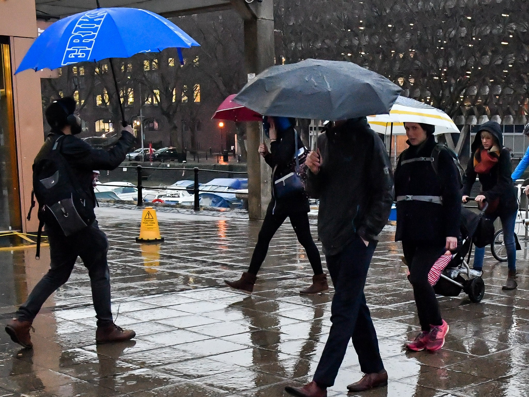
UK weather latest: Gale-force winds and rain set to batter Britain
More snow is expected overnight in the north of England

Your support helps us to tell the story
From reproductive rights to climate change to Big Tech, The Independent is on the ground when the story is developing. Whether it's investigating the financials of Elon Musk's pro-Trump PAC or producing our latest documentary, 'The A Word', which shines a light on the American women fighting for reproductive rights, we know how important it is to parse out the facts from the messaging.
At such a critical moment in US history, we need reporters on the ground. Your donation allows us to keep sending journalists to speak to both sides of the story.
The Independent is trusted by Americans across the entire political spectrum. And unlike many other quality news outlets, we choose not to lock Americans out of our reporting and analysis with paywalls. We believe quality journalism should be available to everyone, paid for by those who can afford it.
Your support makes all the difference.Gale force winds are set to batter parts of the country this weekend, as yet more snow and and spring showers sweep in.
Forecasters say southwestern parts of the country are likely to be worst affected by the gales, with the Isle of Wight and Dartmoor hit hardest.
Martin Bowles, a meteorologist at the Met Office, said: “There is a low pressure system approaching the UK from the southwest which will bring heavy rain and strong winds to the UK on Friday.”
Most of the country is set for a wet weekend as rain starts off in the south and spreads northwards, with as much as 20cm expected to fall in parts of the country.
With it comes a chance of minor flooding in road dips and under bridges.
Snow will continue to linger in some parts of the country.
The Met Office has issued a yellow weather warning for snow in the north of England, the Midlands and parts of Wales from midnight to 11am tomorrow, urging people to prepare for travel disruption.
“Tonight there is a sign of some snow in north England", Mr Bowles said.
"There is rain travelling northwards, and it will change to snow over the north of England and north Wales.”
“There is also a warning of ice. Further north, in Scotland and Northern Ireland, there will be a lot or rain showers and we are likely to get ice forming”, the meteorologist added.
The weather is finally expected to get warmer next week, with temperatures predicted to reach up to 13C.
The warmer weather will come as welcome news for all those in the south of the country who have been without water, after the big freeze led to burst water pipes and leaks.
Forecaster Mr Bowles said we can expect a “spring-like feel” after the weekend.
Join our commenting forum
Join thought-provoking conversations, follow other Independent readers and see their replies
Comments