UK weather: Easter sunshine gives way to 60mph gales as Met Office issues wind warnings
Travel disruption likely, as some areas at risk of hail and thunderstorms, says Met Office
Your support helps us to tell the story
From reproductive rights to climate change to Big Tech, The Independent is on the ground when the story is developing. Whether it's investigating the financials of Elon Musk's pro-Trump PAC or producing our latest documentary, 'The A Word', which shines a light on the American women fighting for reproductive rights, we know how important it is to parse out the facts from the messaging.
At such a critical moment in US history, we need reporters on the ground. Your donation allows us to keep sending journalists to speak to both sides of the story.
The Independent is trusted by Americans across the entire political spectrum. And unlike many other quality news outlets, we choose not to lock Americans out of our reporting and analysis with paywalls. We believe quality journalism should be available to everyone, paid for by those who can afford it.
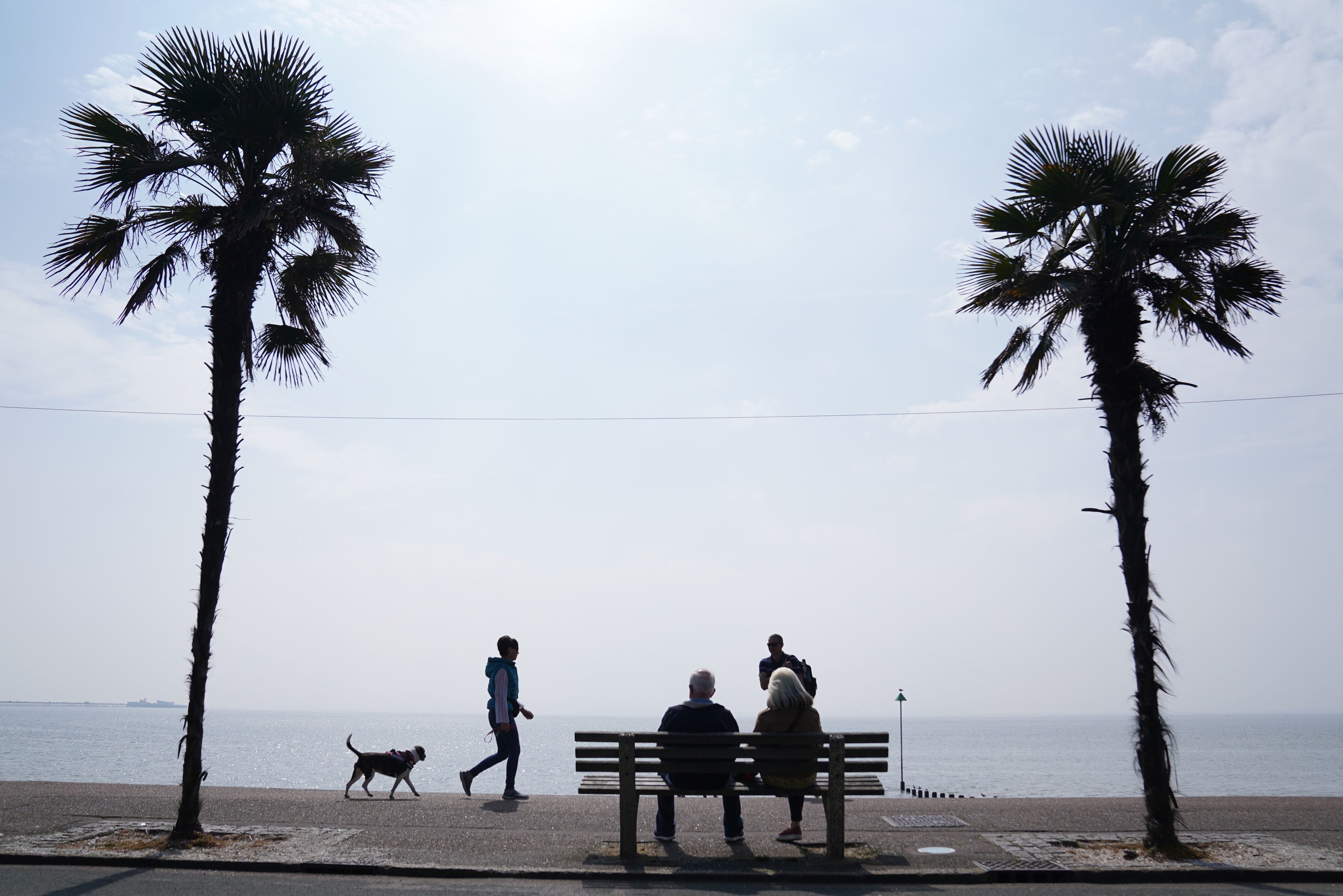
Your support makes all the difference.A sunny spell over the Easter weekend will give way to 60mph wind and rain, spelling potential travel chaos, forecasters warned.
The Met Office has issued a yellow weather warning for the week ahead, after a bright Easter Sunday saw temperatures rise as high as 17.3C.
A band of rain drifting across the Irish Sea is expected to bring blustery showers to the west coast on Sunday evening and much of the UK on Monday.
Some places may see hail and thunderstorms, the Met Office said. However, wet weather is likely to be interrupted by sunny spells for many.
Gusts could exceed 60mph and transport delays are likely, particularly in coastal areas.


Temperatures are unlikely to climb above 15C on Monday and will be even cooler on Tuesday and Wednesday, when they are not set to top 13C.
Easter Sunday’s heat had been expected to top this year’s record of 17.8C but instead fell just short, hitting 17.3C in Chertsey, Surrey.
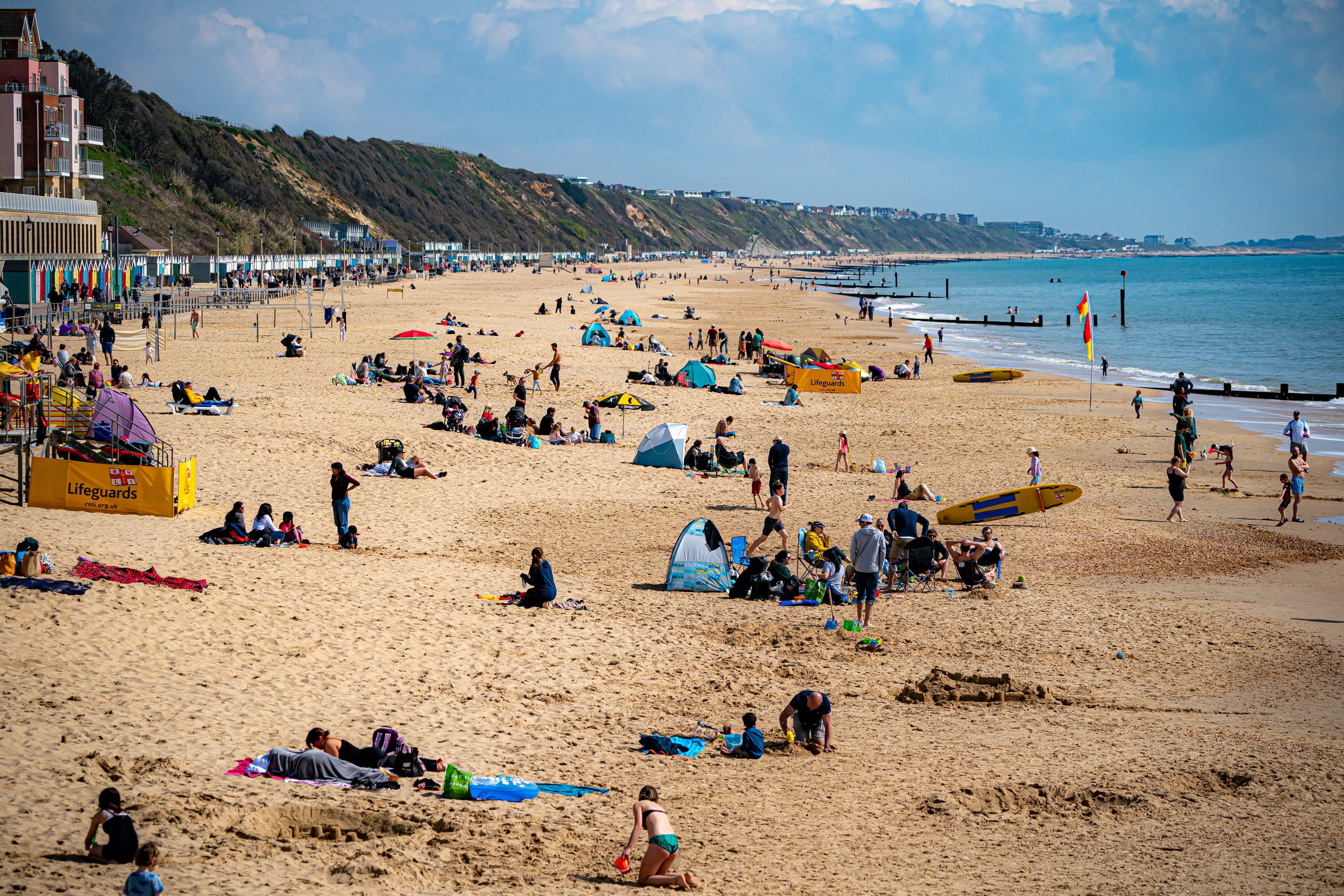
Despite this, the UK was still hotter than Rome, where temperatures reached 16C, for a second day in a row.
A yellow warning for wind has been put in place from 3pm on Tuesday until 6am on Wednesday across the South West, Wales, the Lake District, the east coast of Northern Ireland and Dumfries and Galloway in Scotland.
The warning will remain in place in the South West and parts of South Wales until midnight on Wednesday.

On Sunday, Met Office meteorologist Honor Criswick told the PA news agency: “We were thinking this morning we would potentially get the warmest day of the year so far but we have not reached that.
“Today for most of us it has been quite a dry and bright day with sunny spells. It will generally feel cooler tomorrow.
“We do have a system out to the west bringing spells of wet weather which are currently in Northern Ireland and are just about to creep into the Western Isles.

“As that starts to move through cloud will thicken up from the west and that will spread eastwards.
“On Monday morning most of the rain will be across the South and South East and behind it there are going to be sunny spells and blustery showers.


“On Tuesday we do have quite a deep area of low pressure moving in bringing further rain in from the South West. We could see some heavy downpours.
“It will remain fairly unsettled later in the week but on Thursday it looks like the winds will begin to de-escalate.”
MET OFFICE OUTLOOK
Monday:
Rain clearing eastwards, but lingering across southeast England and Shetland until early afternoon. Sunshine and blustery showers elsewhere, perhaps with thunder and hail. Windy, with a cooler feel for most.
Tuesday to Thursday:
Many areas seeing spells of rain and strong winds on Tuesday and Wednesday, but a few more in the way of drier or brighter spells by Thursday. Generally feeling cold.
Join our commenting forum
Join thought-provoking conversations, follow other Independent readers and see their replies
Comments