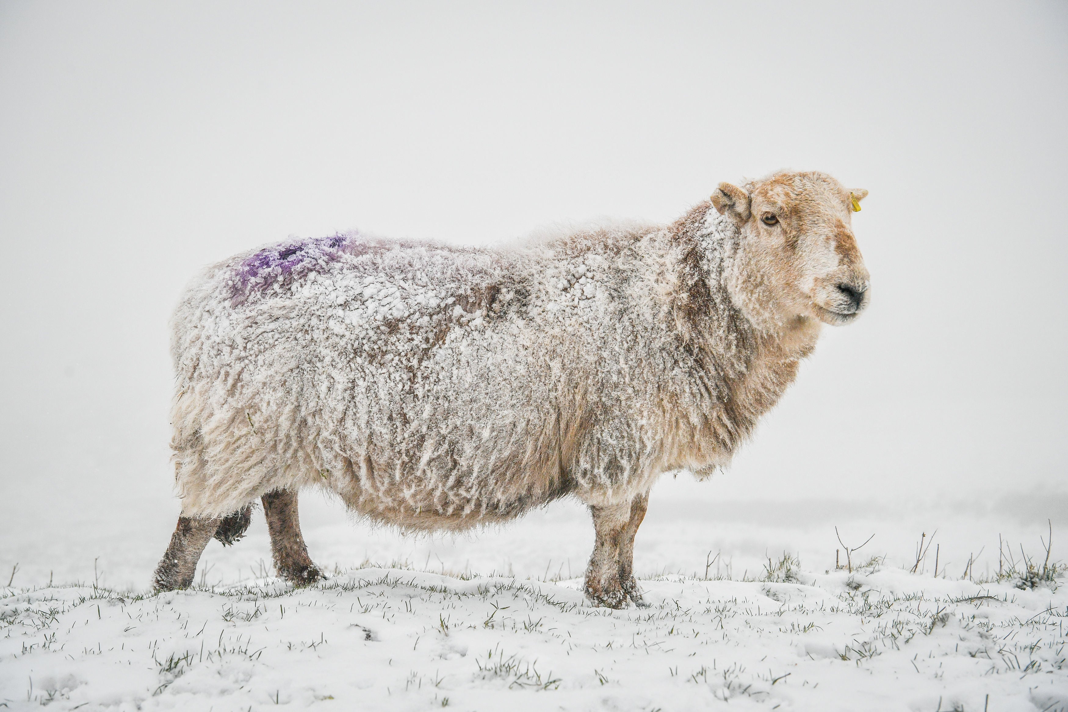
UK weather: Northern England and Scotland brace for snow following Met Office warnings
The heaviest snowfall is predicted to be on Tuesday, with it starting to fall on Monday night.
Your support helps us to tell the story
From reproductive rights to climate change to Big Tech, The Independent is on the ground when the story is developing. Whether it's investigating the financials of Elon Musk's pro-Trump PAC or producing our latest documentary, 'The A Word', which shines a light on the American women fighting for reproductive rights, we know how important it is to parse out the facts from the messaging.
At such a critical moment in US history, we need reporters on the ground. Your donation allows us to keep sending journalists to speak to both sides of the story.
The Independent is trusted by Americans across the entire political spectrum. And unlike many other quality news outlets, we choose not to lock Americans out of our reporting and analysis with paywalls. We believe quality journalism should be available to everyone, paid for by those who can afford it.
Your support makes all the difference.The Met Office has set a yellow weather warning for snow and ice for many parts of Northern England, Scotland, and parts of the Midlands.
The warnings are in place until Wednesday, and predict that a band of rain will travel in a Northeasterly direction across the country throughout Monday, turning into snow as it reaches colder Northern counties.
The heaviest snowfall is predicted to be on Tuesday, with it starting to fall on Monday night.


In comparison, the Eastern half of England will be experiencing a much drier day with some sunny spells, and temperatures a few degrees higher than the North of the country, peaking at 5-6 degrees celsius on Monday afternoon.
Whilst Natural England has put in place no severe flood warnings, 80 flood warnings - indicating that immediate action is required - are in place across the country. This is in addition to 168 flood alerts, showing that flooding is possible.
These alerts span the country, with a high number of alerts having been in place following the wake of Storm Christoph, which Natural England state flooded around 570 properties.
As a result, many rivers are swollen and extra caution should be taken.
Join our commenting forum
Join thought-provoking conversations, follow other Independent readers and see their replies
Comments