Snow UK map: Where snow will hit as Met Office predicts more wintry flurries
More snow is forecast across Northern Ireland, Scotland, Wales and northern England overnight

Your support helps us to tell the story
From reproductive rights to climate change to Big Tech, The Independent is on the ground when the story is developing. Whether it's investigating the financials of Elon Musk's pro-Trump PAC or producing our latest documentary, 'The A Word', which shines a light on the American women fighting for reproductive rights, we know how important it is to parse out the facts from the messaging.
At such a critical moment in US history, we need reporters on the ground. Your donation allows us to keep sending journalists to speak to both sides of the story.
The Independent is trusted by Americans across the entire political spectrum. And unlike many other quality news outlets, we choose not to lock Americans out of our reporting and analysis with paywalls. We believe quality journalism should be available to everyone, paid for by those who can afford it.
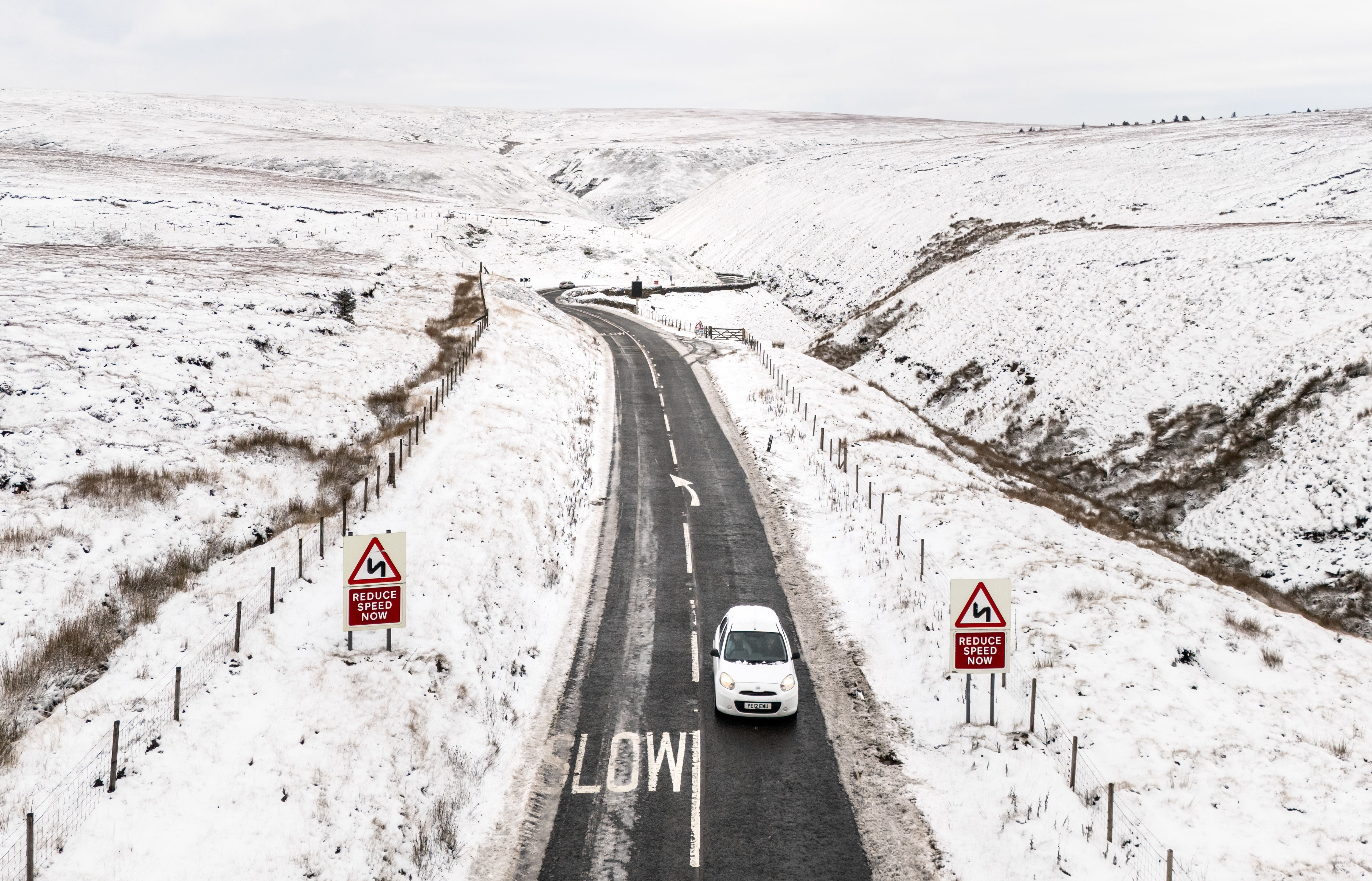
Your support makes all the difference.The UK is braced for more snow on Tuesday evening and overnight as the Met Office warned of further travel chaos across the country.
Up to 20cm of snow is set to fall in some parts of Wales, northern England, Northern Ireland and Scotland with icy conditions expected across the country.
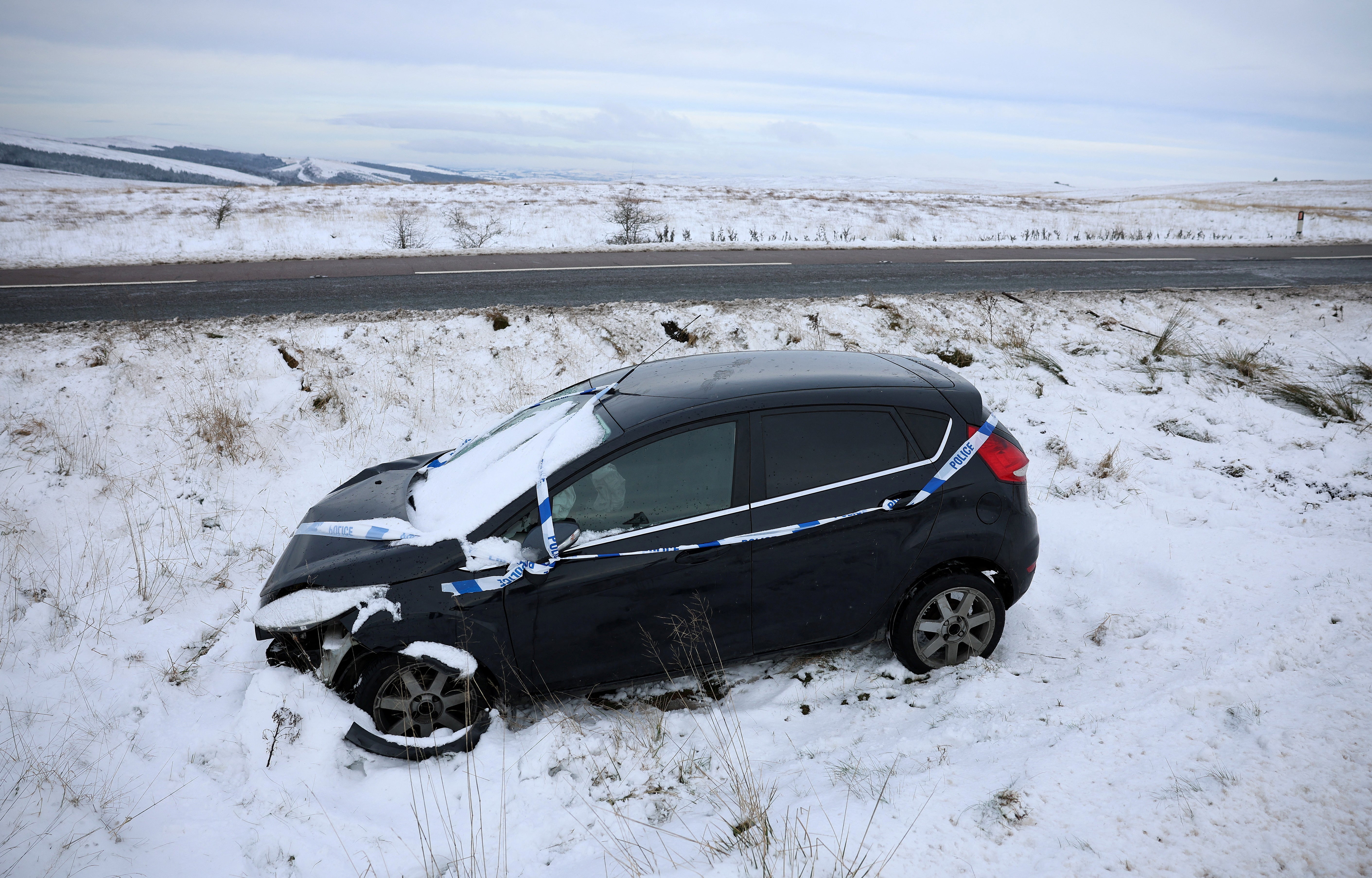
It comes after motorists faced disruption and train services were cancelled with more than 200 schools forced to close on Tuesday.
Met Office Chief Meteorologist Neil Armstrong said: “The current focus for upcoming snow and ice risk is from later on Tuesday and overnight into Wednesday.
“Snow showers will likely move off windward coasts in the north and east, as well as drifting into parts of Northern Ireland and Wales.
“In excess of 10cm of snow is possible over higher ground within the warning areas, with 1-2cm possibly settling at lower levels, which has the potential to lead to some travel disruption.”
Meanwhile, several warnings for snow and ice across the UK are in place for Tuesday and Wednesday, with the possibility of stranded vehicles and power cuts.
A yellow snow and ice warning is in place for much of south Wales between 12pm and 12 midnight on Tuesday.
A yellow ice warning was issued for much of southern England and the Midlands between 5pm on Tuesday and 10am on Wednesday.

A yellow snow and ice warning is also in place for much of the east coast between 6pm Tuesday and 10am Wednesday, stretching down from Northumberland to Norwich.
Northern Ireland is also braced for snow and ice conditions between 6pm Tuesday and 10am Wednesday.
The north of Scotland also has a snow and ice warning in place between 4pm on Tuesday and 10am Wednesday.
Here, The Independent has put together a list of areas in the UK set to see more snow over the next 36 hours, according to the Met Office.
Next 36 hours
Northern Ireland
- All counties
Wales
- Merthyr Tydfil County
- Blaenau Gwent
- Caerphilly
- Swansea
- Carmarthenshire
- Ceredigion
- Monmouthshire
- Neath Port Talbot
- Powys
- Torfaen
England
- Shropshire
- Herefordshire
Next 24 hours
England
- Lincolnshire
- Norfolk
- Suffolk
- County Durham
- Tyne and Wear
- Northumberland
- Redcar & Cleveland
- East Riding of Yorkshire
- North Yorkshire
- North Lincolnshire
- North East Lincolnshire
Scotland
- Scottish Borders
- Fife
- Orkney Islands
- Shetland
Join our commenting forum
Join thought-provoking conversations, follow other Independent readers and see their replies
Comments