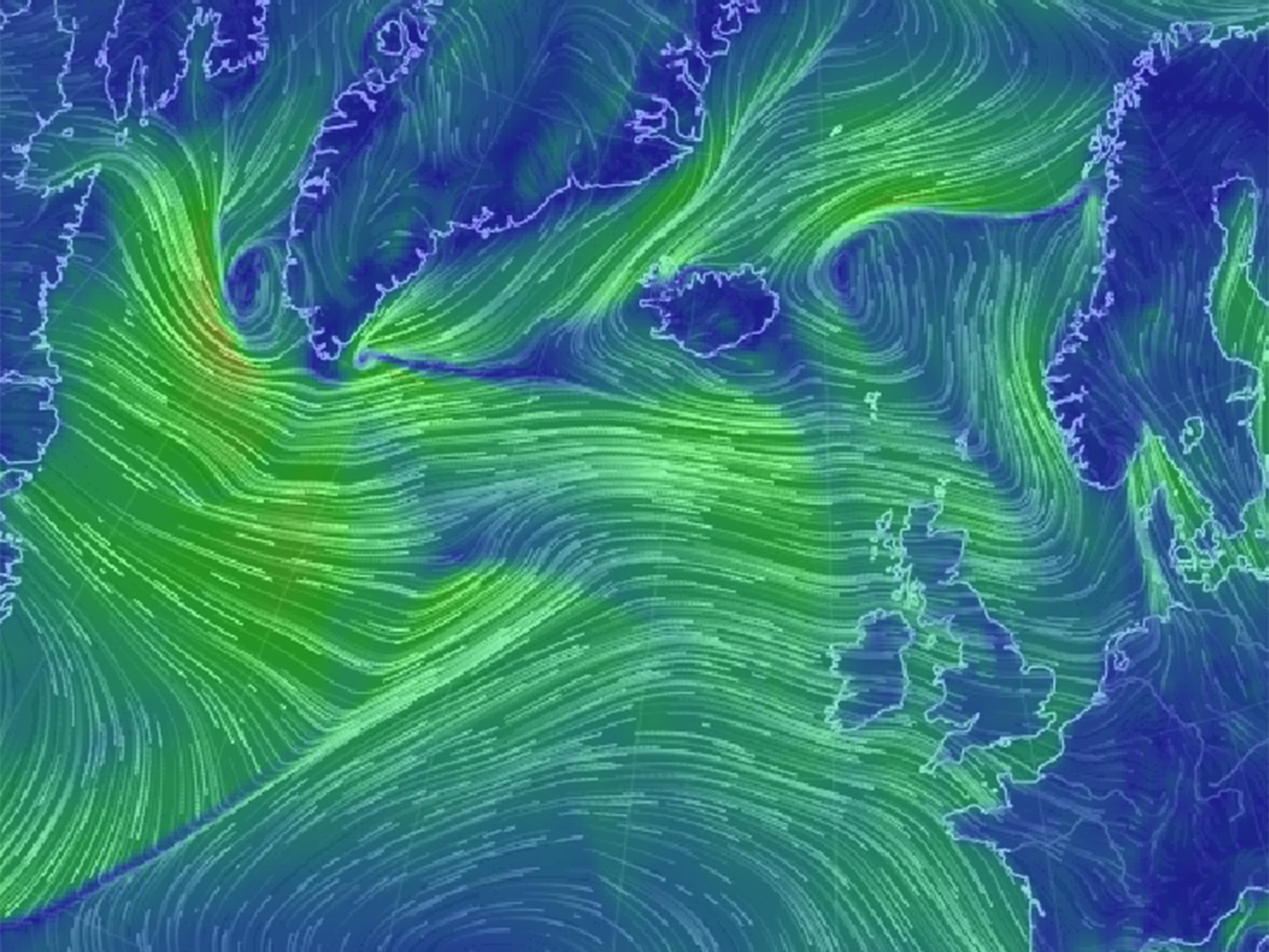
What is Thundersnow? What causes it? Will there be travel disruption?
UK is set to be hit by unusual freezing temperatures

Your support helps us to tell the story
From reproductive rights to climate change to Big Tech, The Independent is on the ground when the story is developing. Whether it's investigating the financials of Elon Musk's pro-Trump PAC or producing our latest documentary, 'The A Word', which shines a light on the American women fighting for reproductive rights, we know how important it is to parse out the facts from the messaging.
At such a critical moment in US history, we need reporters on the ground. Your donation allows us to keep sending journalists to speak to both sides of the story.
The Independent is trusted by Americans across the entire political spectrum. And unlike many other quality news outlets, we choose not to lock Americans out of our reporting and analysis with paywalls. We believe quality journalism should be available to everyone, paid for by those who can afford it.
Your support makes all the difference.Thundersnow is an unusual weather phenomenon, but what exactly is it?
Why are we talking about this now?
Snow, falling up to 20cm (eight inches) in higher areas, is on the way to Britain, with the Thundersnow weather phenomenon forecast to occur later in the week.
Temperatures are also expected to drop to low single figures, no more than 5C – but a vicious wind chill could make it feel around 5C colder.
There are also some storms with thunder and lightning expected, which, combined with the snowfall, could lead to Thundersnow.
What is it?
“The principle is the same as a summer storm,” said Grahame Madge, a spokesman for the Met Office.
“Only instead of rain, the precipitation will take the form of snow due to the low temperatures.”
While thunderstorms are more commonly associated with the warm summer months, they are possible in winter and consequently the effects will be colder.
How is it caused?
When an Arctic blast blowing in from Canada hits the UK later in the week, the cold air it will bring will combine with the relatively warmer air on land.
The winds will blow in from the North West – with the cold air picking up moisture as it travels across the ocean – and the first places to be affected will be Scotland, Northern Ireland and parts of Wales.
A Yellow Met Office severe weather warning – meaning ‘be aware’ -- has been enacted for these places.
How often does it happen and where?
“Its relatively unusual,” said Mr Madge, “But it’s not unheard of. We can expect it to happen on a roughly annual basis.”
He added that the storms would be more likely on the north and west coasts because of their geographical position. Their placement means they will usually be the first areas to receive Arctic winds.
Will it cause disruption?
Just small amounts of snow in the UK can cause disruption, even when the weather is clear. The added hazards of a storm are expected to exacerbate this.
Travellers are being advised to expect difficult driving conditions and extended journey times.
The RAC’s Rod Dennis said: “The fact that drivers in some parts of the country will be faced with strong winds, snow showers and icy stretches increases the chances of problems on the road enormously.”
He urged drivers to plan trips carefully and “consider rearranging any non-essential journeys in the parts of the country most likely to be affected by the bad weather”, as well as checking tyre tread and pressure, windscreen wipers and screen wash levels.
“When out on snowy roads, always have dipped headlights on and proceed carefully and cautiously," he said.
"Drive with a very light right foot, and keep your revs down by changing to as high a gear as possible.
”Try to avoid braking and turning at the same time. When approaching a bend in the road, reduce your speed first and then begin to turn. Above all, avoid the temptation to brake sharply as that will make you lose control."
Join our commenting forum
Join thought-provoking conversations, follow other Independent readers and see their replies
Comments