Storm Kathleen to tear into UK with 70mph winds and snow as Met Office issues weather warnings
The storm is expected to bring gusts of up to 60mph-70mph
Your support helps us to tell the story
From reproductive rights to climate change to Big Tech, The Independent is on the ground when the story is developing. Whether it's investigating the financials of Elon Musk's pro-Trump PAC or producing our latest documentary, 'The A Word', which shines a light on the American women fighting for reproductive rights, we know how important it is to parse out the facts from the messaging.
At such a critical moment in US history, we need reporters on the ground. Your donation allows us to keep sending journalists to speak to both sides of the story.
The Independent is trusted by Americans across the entire political spectrum. And unlike many other quality news outlets, we choose not to lock Americans out of our reporting and analysis with paywalls. We believe quality journalism should be available to everyone, paid for by those who can afford it.
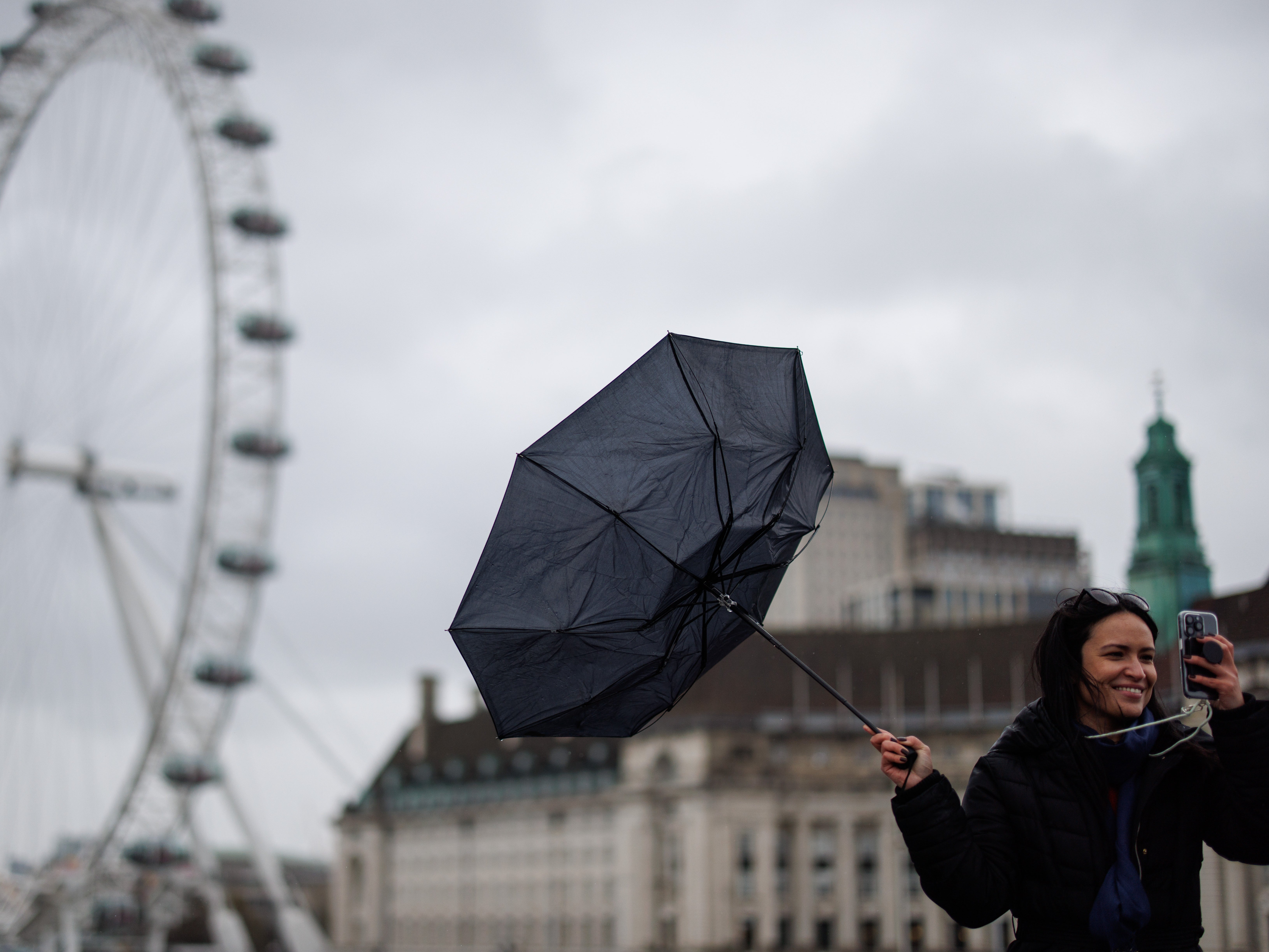
Your support makes all the difference.Storm Kathleen will barrel into the UK this weekend with dangerous 70mph gusts, torrential downpours and snow in some areas.
The 11th named storm of the season is forecast to hit the west coast of England, Scotland and Ireland on Saturday, before moving across to other parts of the country.
The Met Office has issued yellow weather warnings for rain, snow and wind that come into force on Friday.
Follow all the latest Storm Kathleen updates on our live blog’
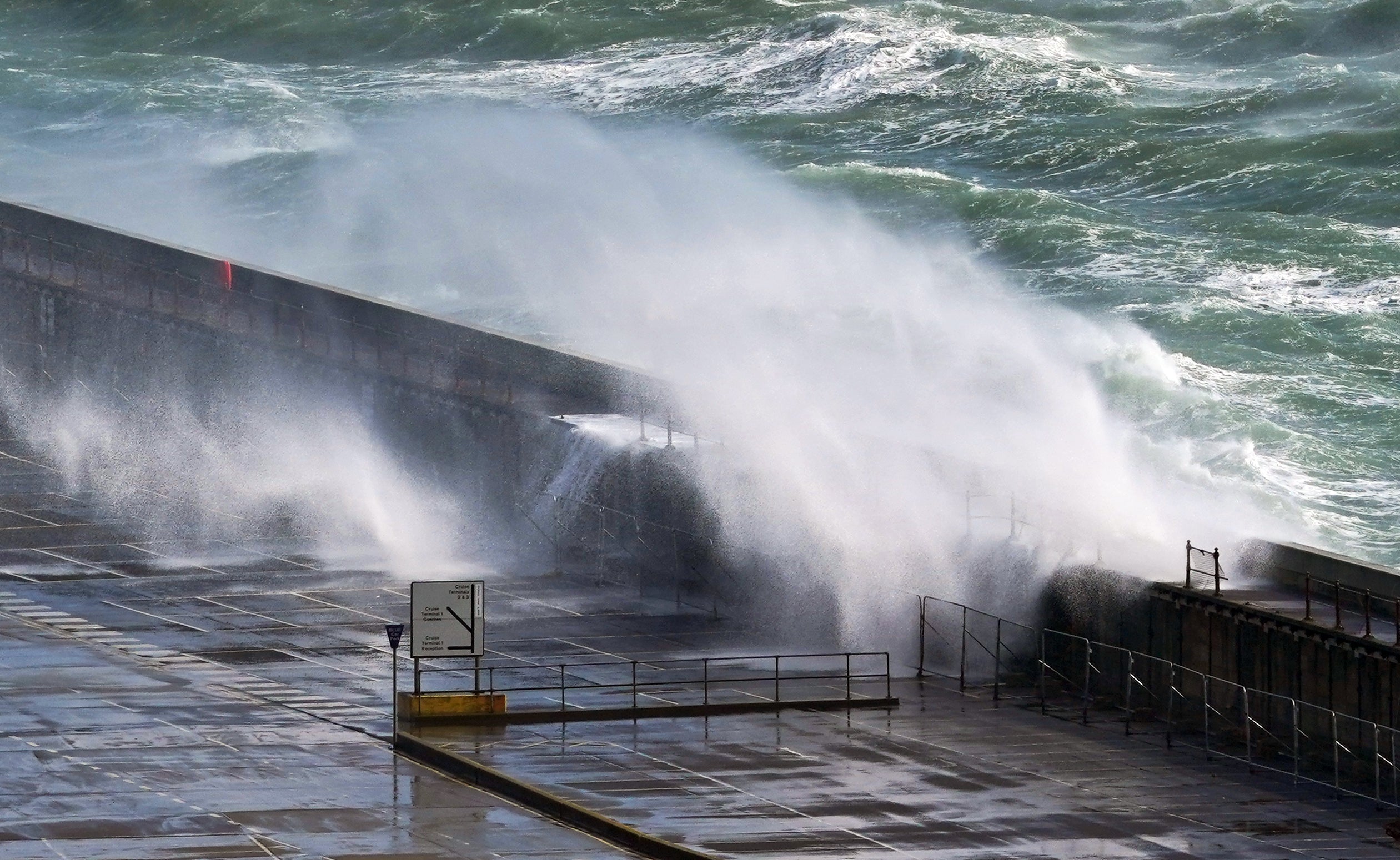
Gusts of 50mph are widely expected across the country, with more exposed areas, such as the coast seeing winds of 60-70mph. The forecaster said coastal areas can also expect to see large waves.
The Met Office also warned that heavy rain could cause travel disruption, with a chance of flooding for some homes and businesses.
A snow warning is also in place on Friday and covers a large portion of central Scotland, including Glasgow and Edinburgh.
“Snow is likely to cause some travel disruption on Friday morning, particularly on higher routes,” the forecaster said.

Saturday will experience “unseasonably wet and windy” conditions, including heavy rain across parts of Scotland and potential outbreaks across western parts and North East England, Met Office meteorologist Alex Burkill said.
However, temperatures will be mild, despite the wind and rain, he added: “There is a good chance we could see highs of 20C which would be the first time we have seen 20C this year.”
Looking ahead at the next 10 days, Mr Burkill said: “There will be some wet weather around, could be quite heavy at times, but there are also some signs of something a little bit drier coming up later on.
“For the time being though, low pressure in control as we go through the next few days, various areas of low pressure pushing their way across, bringing spells of wet weather and some blustery conditions too.
“As we head towards Friday though, we have an area of low pressure pushing towards us and this feature has actually been named Storm Olivia by the Portuguese met service. It is going to bring some blustery, showery weather across parts of the UK.”
He added: “Now it’s pretty unusual for us to get an area of low pressure as deep as this so close to the UK during this time of year at this stage of April.
“So it is going to be unseasonably windy and there will be some heavy rain around at times particularly across northern and western parts.
“But worth noting that across parts of the South East actually we’re not going to see a huge amount of rain on Saturday and we’re going to drag in some very warm air.”
It is the second time a UK named storm has reached the letter K, following Storm Katie in March 2016.
No storm season has ever got beyond the letter K. The Met Office began naming storms in 2015.

Last year’s storm season, which ran from September 2022 to August 2023, made it only as far as the letter B, with Storm Betty in August.
By contrast, this year’s season has seen storm Agnes in September 2023, Babet in October, Ciaran and Debi in November, Elin, Fergus and Gerrit in December, Henk, Isha and Jocelyn in January 2024, and now Kathleen in April.
Not all of the alphabet is used when naming storms. The letters Q, U, X, Y and Z are omitted, in line with convention established by the US National Hurricane Centre.
It means the storm names still available for the current season are Lilian, Minnie, Nicholas, Olga, Piet, Regina, Stuart, Tamiko, Vincent and Walid.
The Met Office’s list of storm names is shared with Met Eireann in Ireland and KNMI, the Dutch national weather forecasting service. Kathleen was named by Met Eireann.
Additional reporting by PA
Join our commenting forum
Join thought-provoking conversations, follow other Independent readers and see their replies
Comments