What is a Sting Jet? UK at risk of rare weather phenomenon that occurred during Great Storm of 1987
The rare meteorological phenomenon sees winds of 100mph and above
Your support helps us to tell the story
From reproductive rights to climate change to Big Tech, The Independent is on the ground when the story is developing. Whether it's investigating the financials of Elon Musk's pro-Trump PAC or producing our latest documentary, 'The A Word', which shines a light on the American women fighting for reproductive rights, we know how important it is to parse out the facts from the messaging.
At such a critical moment in US history, we need reporters on the ground. Your donation allows us to keep sending journalists to speak to both sides of the story.
The Independent is trusted by Americans across the entire political spectrum. And unlike many other quality news outlets, we choose not to lock Americans out of our reporting and analysis with paywalls. We believe quality journalism should be available to everyone, paid for by those who can afford it.
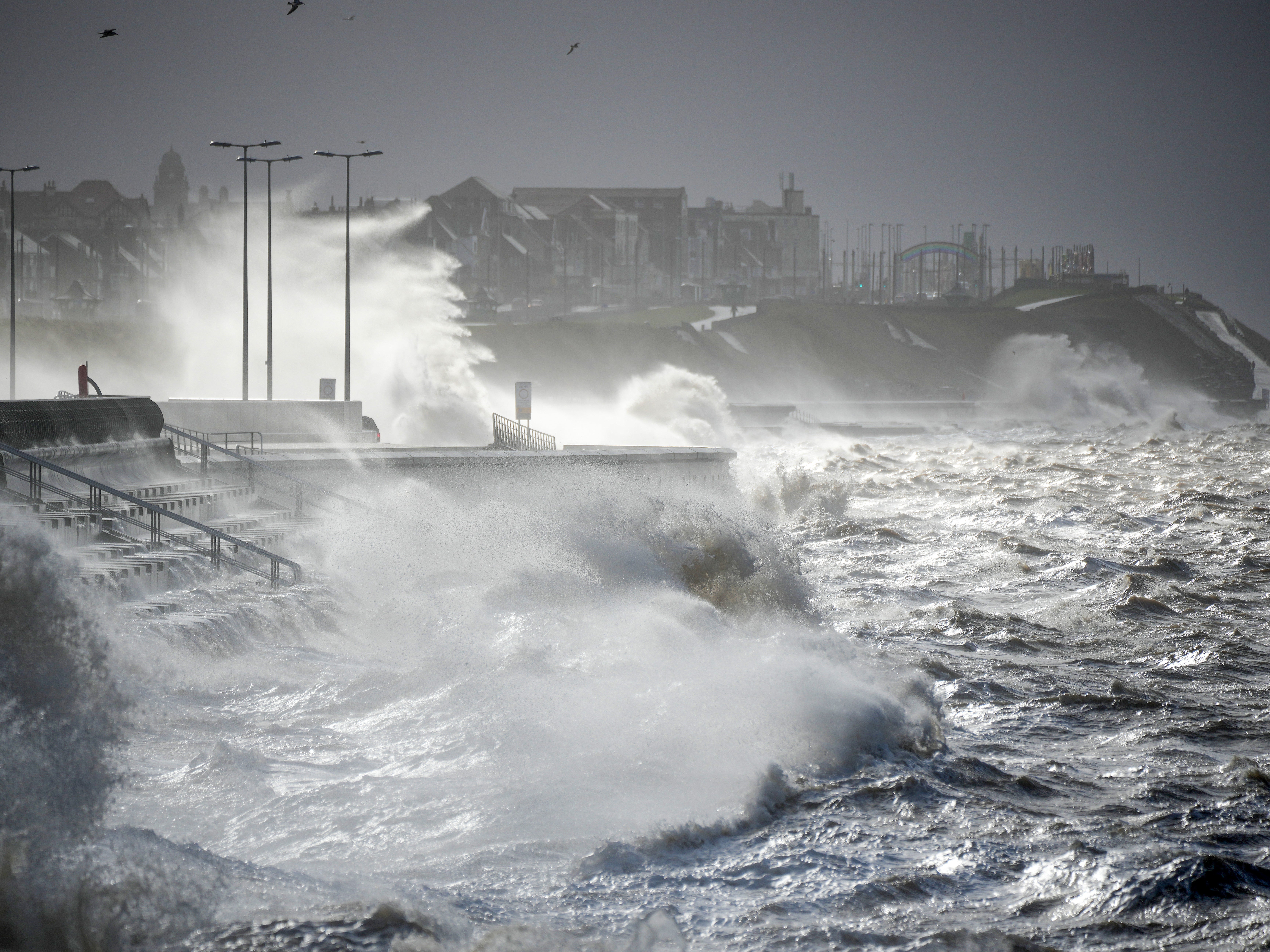
Your support makes all the difference.Experts fear deadly Storm Eunice could result in a rare weather event known as a ‘sting jet’.
The phenomenon can make already dangerous storms even more intense, resulting in more damage.
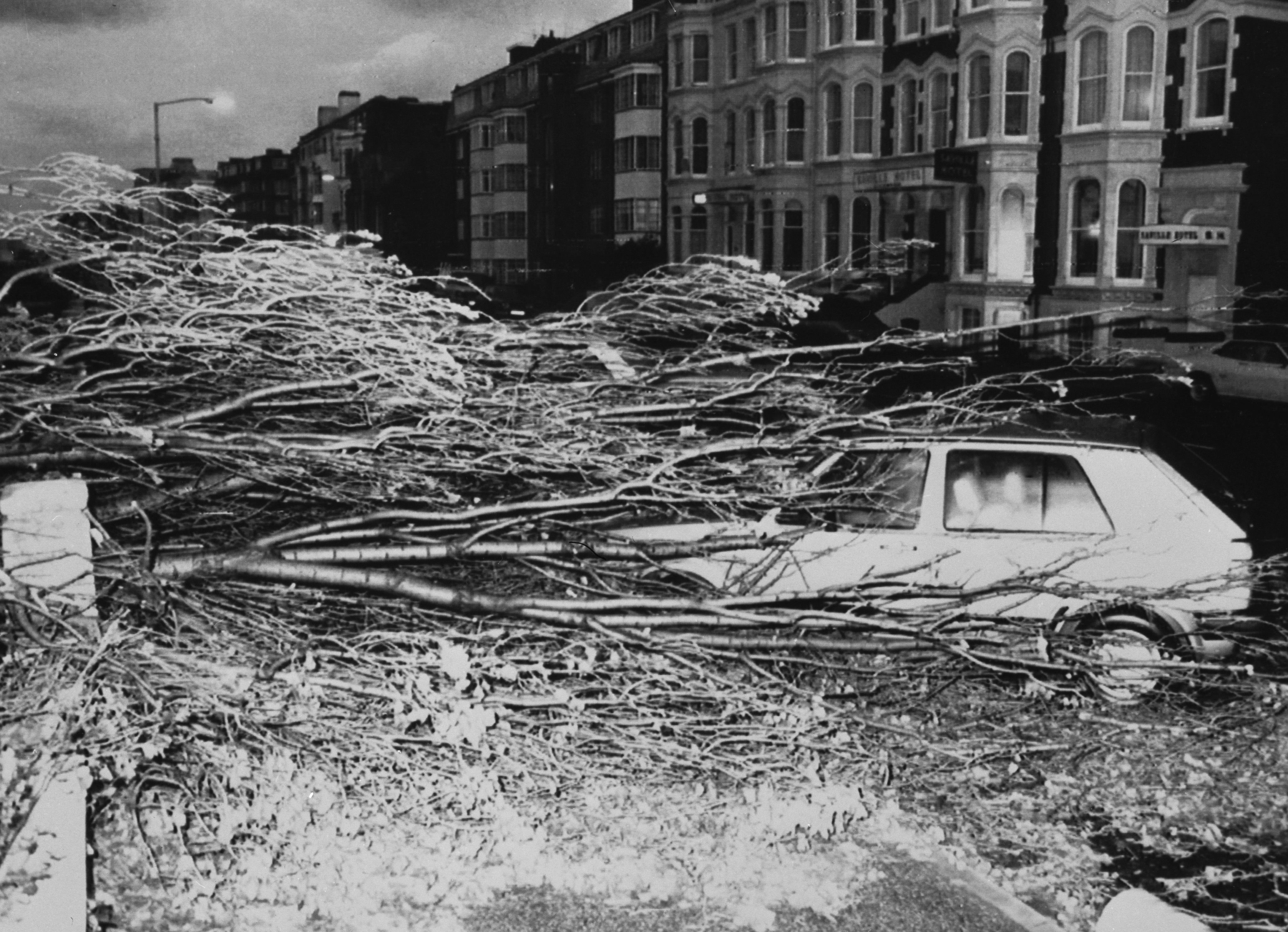
The most famous examples of this was in the Great Storm of 1987, when hurricane force winds across the UK caused widespread damage and killed 18 people.
Storm Eunice is the second storm to hit the UK this week, coming just two days after Storm Dudley, and has led to two rare red weather warnings.
But what is a ‘sting jet’ and why are scientists concerned about it?
What is a sting jet?
Sting Jets are small areas of intense winds found with the cyclone of a storm.
With winds of minimum 100mph, they are extremely dangerous and pose significant damage and risk to life.
They tend to be approximately 30 miles across, and usually last three or four hours.
Matt Priestley, a research scientist at the University of Exeter, told The Guardian that they are very difficult to forecast and don’t form in every storm, just the most intense ones.
How does a sting jet form?
When warm air rises and cold air sinks, areas of low pressure are created and these can turn into storms.
Areas of low pressure usually have weather fronts as part of their structure, separating areas of warm and cold air.
It’s their interaction that creates wet and windy weather, the Met Office explains.
Close to the fronts there tends to be more focused streams of warm and cold air that run parallel to them, known as conveyor belts.
These wrap around the area of low pressure and help develop it by feeding warm air and moisture into the system.

The cold conveyor brings its cold air from higher in the atmosphere, sometimes with help from rain and snow as they fall into it and evaporate.
This change from liquid to gas requires heat, which is removed from the conveyor, cooling it further.
Now even colder air falls along the conveyor, speeding up as it does so, like a rollercoaster taking the first drop.
As this wind reaches the surface it can often produce much stronger gusts would otherwise be made by the storm.

How likely is a sting jet in Storm Eunice?
Forecasters say a sting jet is difficult to predict because of their small size.
However, the record breaking winds this week make it a possibility.
Dr Peter Inness, University of Reading meteorologist, told The Guardian: “Eunice looks like it may be able to produce a sting jet, a narrow, focused region of extremely strong winds embedded within the larger area of strong winds and lasting just a few hours.”
Follow Storm Eunice updates live here.


Join our commenting forum
Join thought-provoking conversations, follow other Independent readers and see their replies
Comments