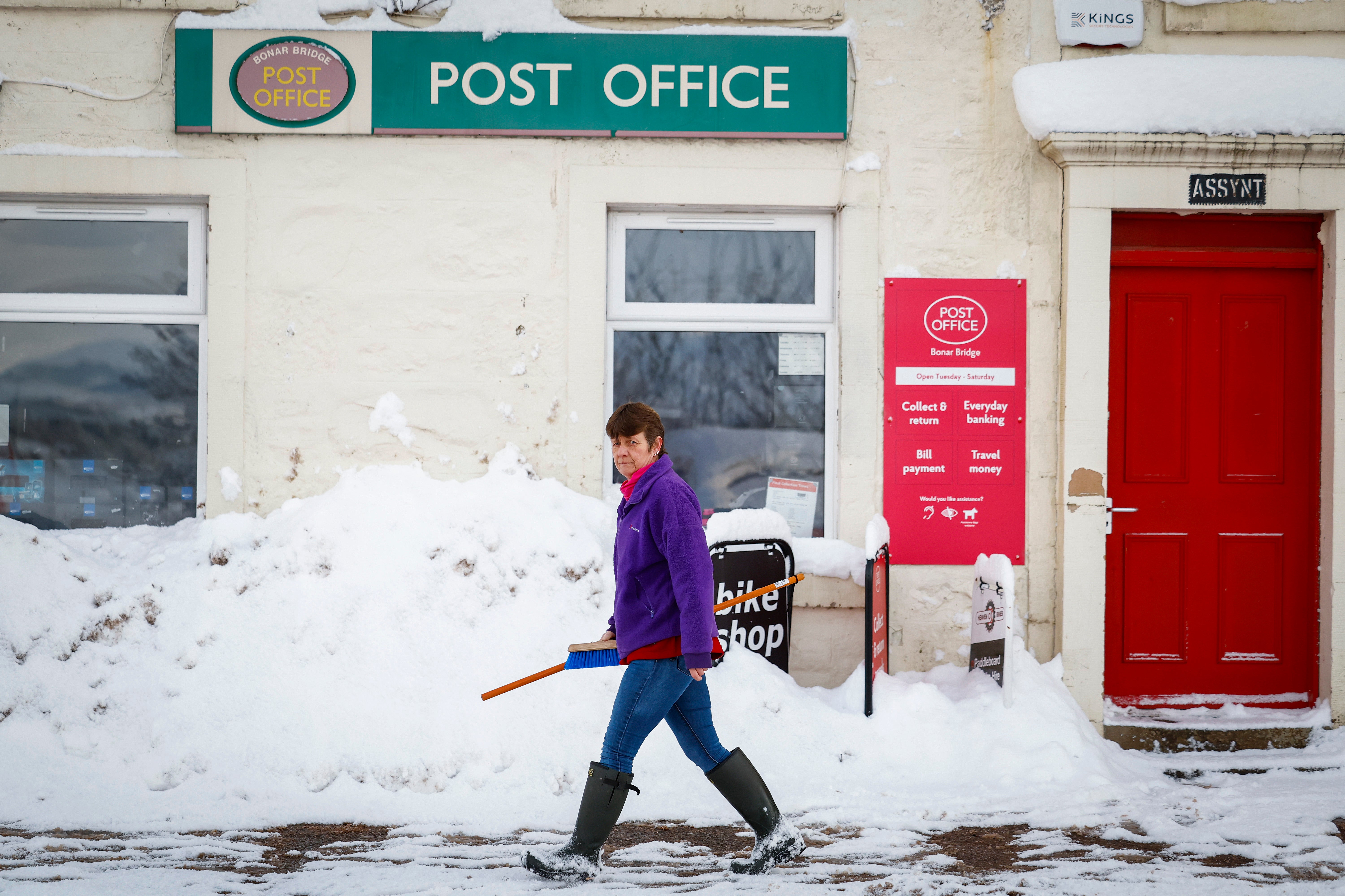
Heavy snow headed to the UK as Met Office issues yellow warning
There is a risk of power cuts, travel delays and some rural communities becoming cut off

Your support helps us to tell the story
From reproductive rights to climate change to Big Tech, The Independent is on the ground when the story is developing. Whether it's investigating the financials of Elon Musk's pro-Trump PAC or producing our latest documentary, 'The A Word', which shines a light on the American women fighting for reproductive rights, we know how important it is to parse out the facts from the messaging.
At such a critical moment in US history, we need reporters on the ground. Your donation allows us to keep sending journalists to speak to both sides of the story.
The Independent is trusted by Americans across the entire political spectrum. And unlike many other quality news outlets, we choose not to lock Americans out of our reporting and analysis with paywalls. We believe quality journalism should be available to everyone, paid for by those who can afford it.
Your support makes all the difference.A band of heavy snow could cause disruption later this week, with as much as 20cm possible in higher areas.
Temperatures will drop as the week goes on, with a yellow snow warning issued which covers much of Wales as well as northern and central England, the Met Office said.
One to two centimetres is widely possible at low levels, 2-5cm on ground above 200m, and as much as 10-20cm above 400m.
The warning runs from 3am on Thursday to 3am on Friday and stretches from Cumbria and the Scottish border down to Cambridgeshire and the Midlands in England.
All of northern and central Wales, including the isle of Anglesey, is included in the warning.
There is a risk of power cuts, travel delays and some rural communities becoming cut off, the forecaster said.
The snow will ease later in the day, and may turn back to rain or drizzle, especially in the south and east.
There is uncertainty with respect to the rain-snow boundary, and the northern limit of the snow, the Met Office said.
Met Office deputy chief meteorologist Chris Almond said: “While the early part of this week will see some rain, at times heavy, gradually sinking southwards, there’s an increased signal for wintry hazards as we move through the week as cold air from the north moves over the UK.
“It’s from Thursday that the snow risk becomes more potentially impactful, as mild air attempts to move back in from the south, bumping into the cold air and increasing the chance of snow developing on the leading edge.
“While there are still lots of details to work out, the initial snow risk looks highest in northern England and Wales from Thursday.”
The snow will turn into sleet and rain towards the end of the warning period from the south.
Further warnings for ice could also be issued later in the week as temperatures drop below average for this time of year, the forecaster said.