UK weather: Snow warning as temperatures fall below freezing
Weather warnings are also in place until next week as heavy rain is set to fall across England and Wales

Your support helps us to tell the story
From reproductive rights to climate change to Big Tech, The Independent is on the ground when the story is developing. Whether it's investigating the financials of Elon Musk's pro-Trump PAC or producing our latest documentary, 'The A Word', which shines a light on the American women fighting for reproductive rights, we know how important it is to parse out the facts from the messaging.
At such a critical moment in US history, we need reporters on the ground. Your donation allows us to keep sending journalists to speak to both sides of the story.
The Independent is trusted by Americans across the entire political spectrum. And unlike many other quality news outlets, we choose not to lock Americans out of our reporting and analysis with paywalls. We believe quality journalism should be available to everyone, paid for by those who can afford it.
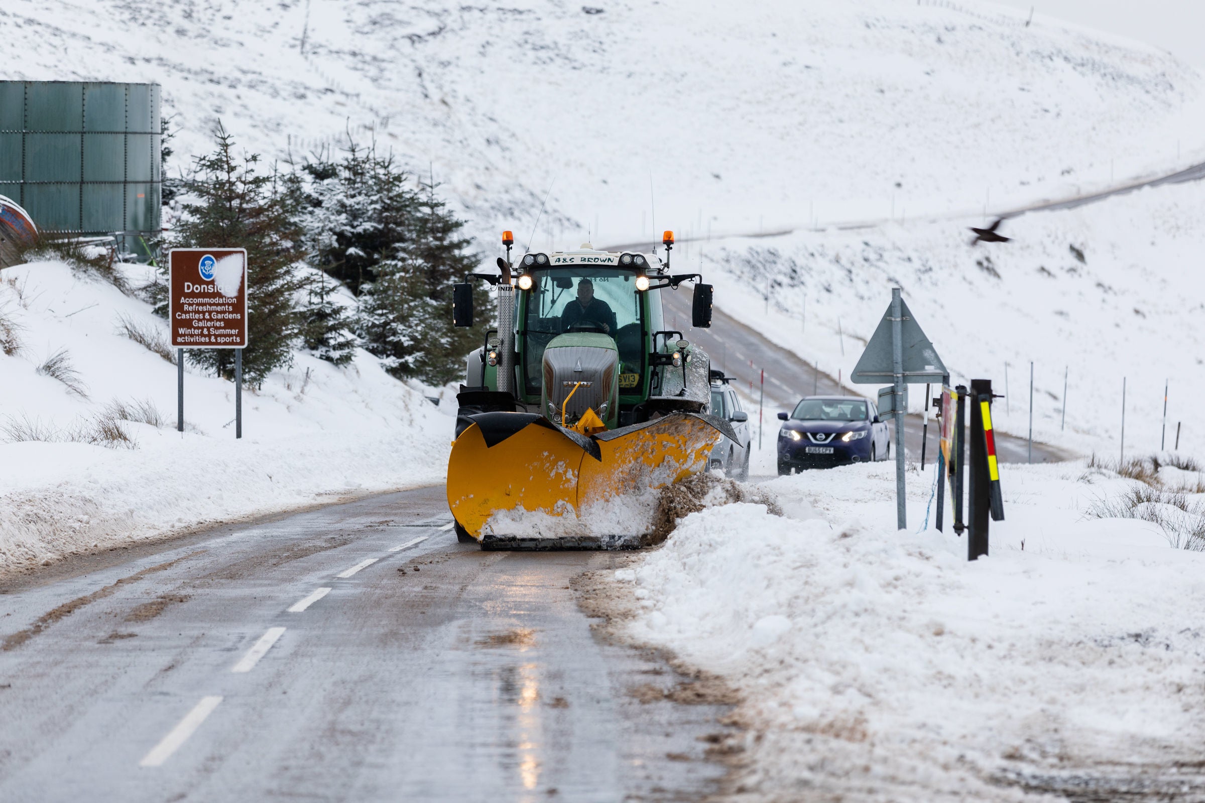
Your support makes all the difference.Snow is set to fall across parts of Britain next week as temperatures are expected to fall below zero.
People across the country can expect flurries of snow, sleet and rain from Sunday (15 January) as conditions become much colder for most.
Weather warnings are also in place around the UK until next week as heavy rain is set to fall across England and Wales, bringing the chance of some flooding and disruption.
Grahame Madge, a spokesperson for the Met Office, said: “From Sunday, much cooler conditions are expected compared with the mild conditions we have currently.
“Before that, we have a period of wet weather across southern and central parts of Britain with heavy rainfall, particularly across South Wales and the Midlands.”
As the Met Office issues yellow weather warnings for heavy rain, with up to 50mm of rainfall expected in some locations, they advise people to take extra care when travelling.
Mr Madge added: “From tonight into tomorrow and Sunday, we’ll start to see the a more colder, northerly air flow with temperatures dropping below zero.
“The further north you are and higher up, the more likely you are to experience wintery hazards with a likelihood of snow.”
“We expect a band of wintery precipitation including a mix of snow, sleet and rain to move south but by Monday, we will start to see more showers and conditions will be brighter.
“There will not be prolonged, deep snowfall,” he continued.
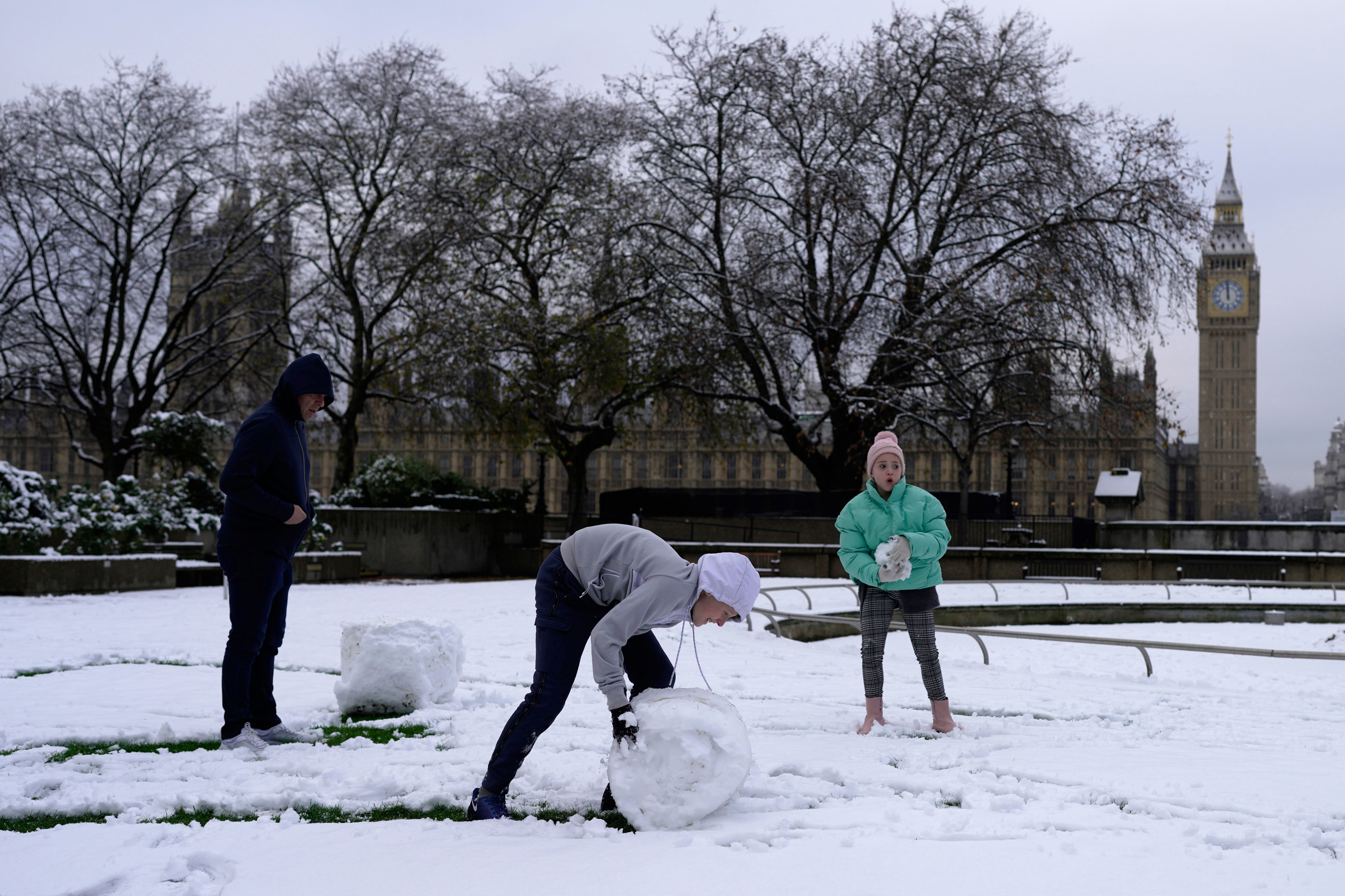
In December, Britain was blanketed by heavy snowfall amid sub-zero temperatures causing widespread travel disruptions and school closures.

“We’ve got a band of heavier rain, sleet and snow which will be moving south across Northern Ireland, Scotland and northern England,” continued Mr Madge.
“Once that’s out of the way from Sunday, conditions will brighten up considerably. Any wintery showers will be quite short, we’re not expecting prolonged showers.”
“We’re expecting colder conditions to remain well into the end of next week with less certainty about when things will become warmer.”
2022 was the UK’s warmest year on record as temperatures remained above average for every month of the year apart from December, according to the Met Office.


Join our commenting forum
Join thought-provoking conversations, follow other Independent readers and see their replies
Comments