Met Office issues thunderstorm warning with possible flooding, power cuts and travel chaos
Comes after forecaster warned aftermath of hurricane would hit Britain, bringing period of unsettled weather
Your support helps us to tell the story
From reproductive rights to climate change to Big Tech, The Independent is on the ground when the story is developing. Whether it's investigating the financials of Elon Musk's pro-Trump PAC or producing our latest documentary, 'The A Word', which shines a light on the American women fighting for reproductive rights, we know how important it is to parse out the facts from the messaging.
At such a critical moment in US history, we need reporters on the ground. Your donation allows us to keep sending journalists to speak to both sides of the story.
The Independent is trusted by Americans across the entire political spectrum. And unlike many other quality news outlets, we choose not to lock Americans out of our reporting and analysis with paywalls. We believe quality journalism should be available to everyone, paid for by those who can afford it.
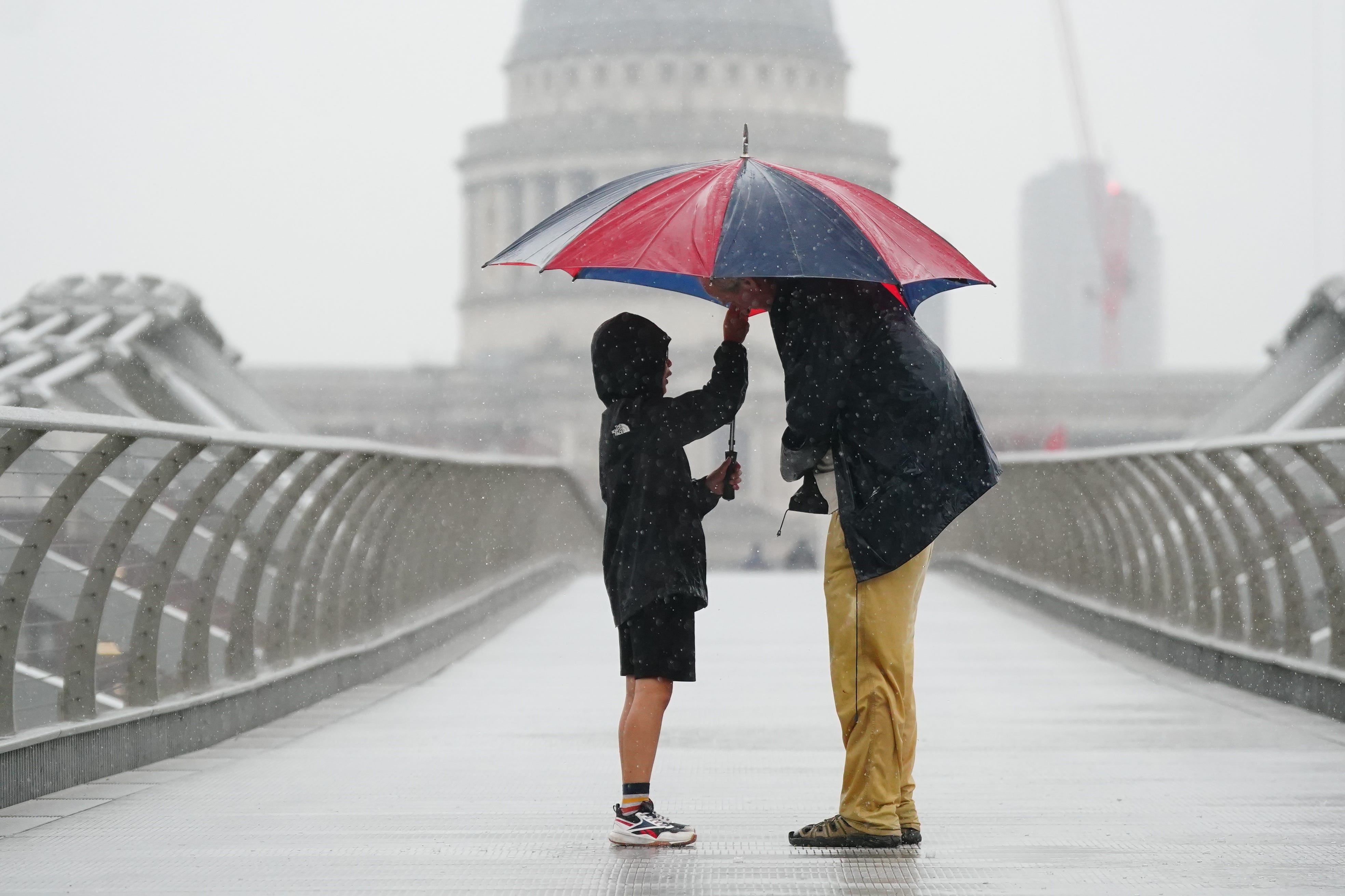
Your support makes all the difference.A thunderstorm warning has been issued by the Met Office as the forecaster urges parts of the UK to brace themselves for potential flooding, power cuts and travel chaos.
The weather service has issued a yellow thunderstorm warning from 4pm to 11.59pm on Monday across much of South Wales, South West England, and parts of southern England.
It comes after the Met Office warned the aftermath of a hurricane that has been intensifying in the Atlantic Ocean would hit Britain, bringing a period of unsettled weather.
The Met Office said on Monday morning there was a “good chance” that driving conditions will be affected by spray, standing water or hail, leading to longer journey times by car and bus. Delays to train services are also possible.
“Some places missing the worst, but heavy showers and thunderstorms may cause some disruption, particularly to travel, later on Monday,” said the forecaster.
Heavy rain may cause flooding of a few homes and businesses, while there could be some short term loss of power and other services.
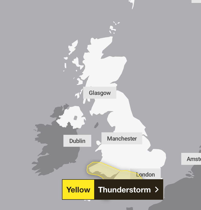
There could also be damage to buildings and structures from lightning strikes, hail or gusty winds, most likely close to coasts.
The heavy showers and thunderstorms
Thunderstorms are most likely for south-facing coastal districts, and hail and some strong gusts of wind could accompany the heaviest showers and thunderstorms, according to the forecaster.
Some places will see 20-30mm of rain within two to three hours, with a small chance that a few places could receive 40mm.
Areas of heavy showers and thunderstorms will move northwards across southern parts of England and Wales on Monday and clear northwards overnight.
The Met Office advised people to prepare for the incoming weather, including preparing a flood plan and emergency kit if living in an area at risk of flash flooding, or gathering essential items such as torches, batteries and a mobile power pack in case of power cuts.
The forecaster also suggested Britons keep abreast of travel and weather updates and amend plans accordingly.
It added: “If you find yourself outside and hear thunder, protect yourself by finding a safe enclosed shelter (such as a car). Do not shelter under or near trees, or other structures which may be struck by lightning. If you are on an elevated area move to lower ground.”
The weather warning comes after the Met Office warned over the weekend that a blast of wind and rain would be brought by the tail end of Hurricane Kirk this week.
The forecaster said the remnant of the category 4 storm might bring about disruptive weather starting midweek after sweeping across the Atlantic towards northwest Europe.
Chris Bulmer, the Met Office’s deputy chief meteorologist, said: “Kirk over the North Atlantic will lose its status as a hurricane early next week before being swept towards northwest Europe.
“The resulting low pressure system will still have the potential to bring disruptive rain and winds to some areas, including parts of the UK, from the middle of next week.”
Join our commenting forum
Join thought-provoking conversations, follow other Independent readers and see their replies
Comments