UK weather: Met Office predicts new warm spell and gives verdict on bank holiday heatwave
Temperatures could rise to 30C this week after yet another weekend washout
Your support helps us to tell the story
From reproductive rights to climate change to Big Tech, The Independent is on the ground when the story is developing. Whether it's investigating the financials of Elon Musk's pro-Trump PAC or producing our latest documentary, 'The A Word', which shines a light on the American women fighting for reproductive rights, we know how important it is to parse out the facts from the messaging.
At such a critical moment in US history, we need reporters on the ground. Your donation allows us to keep sending journalists to speak to both sides of the story.
The Independent is trusted by Americans across the entire political spectrum. And unlike many other quality news outlets, we choose not to lock Americans out of our reporting and analysis with paywalls. We believe quality journalism should be available to everyone, paid for by those who can afford it.
Your support makes all the difference.After a soggy and unsettled beginning to the week across parts of England and Wales, the UK is poised for an extended warm spell towards the end of this week and into the weekend.
Temperatures are expected to climb in the coming days reaching the mid-20s by the middle of the week and then up to 30C in places, the Met Office predicts, as a surge of warm air will envelop the nation, bringing a much-anticipated respite from the recent dampness.
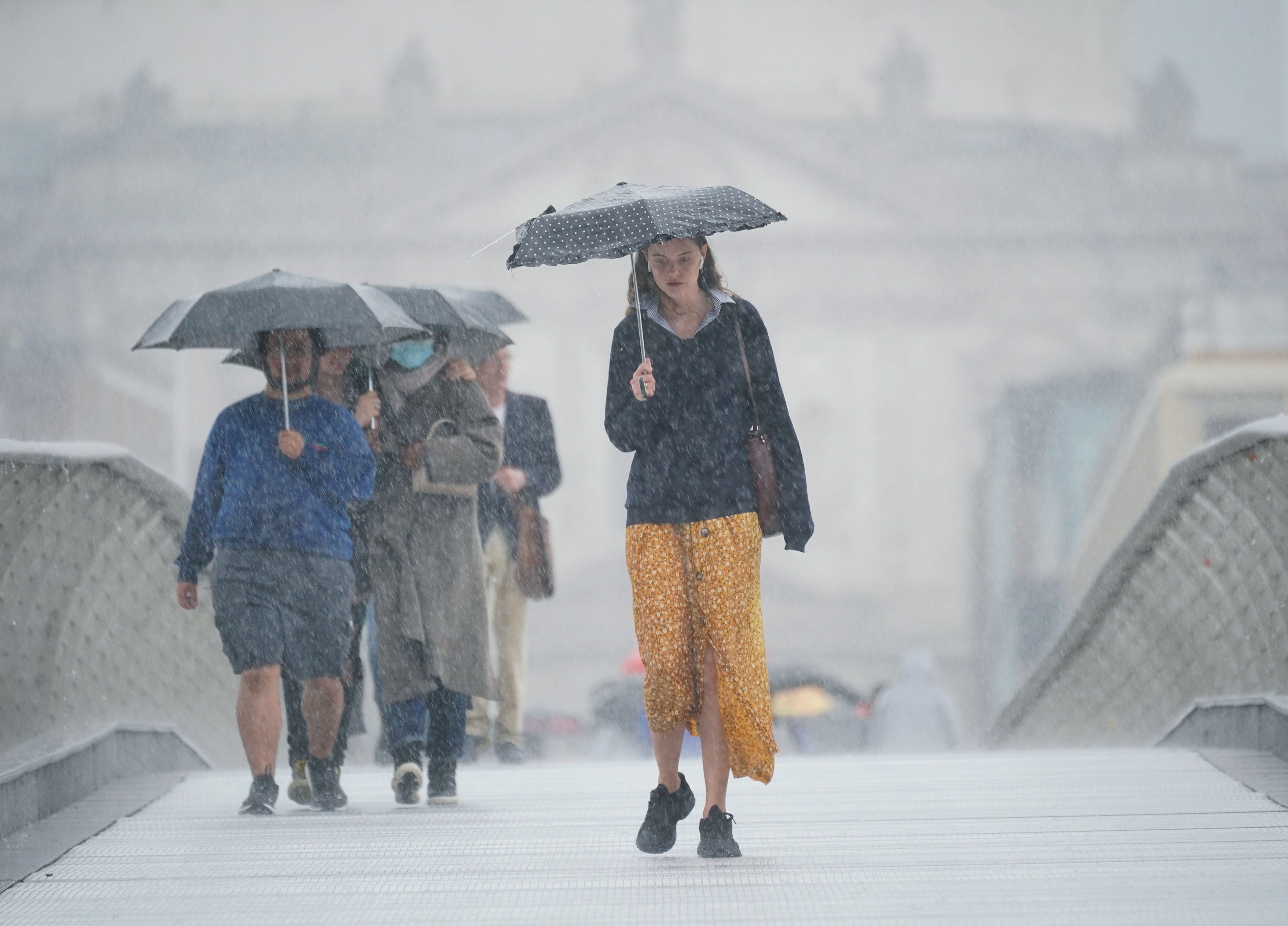
Over the last couple of days, the UK has been battered by rains and thunderstorms with the Met Office issuing yellow weather warnings on Sunday night and Monday morning.
And while those wet conditions are expected to give way to a warmer spell this week, the Met Office has poured cold water on the prospect of an extended heatwave stretching into the bank holiday weekend from 26-28 August.
Starting from Wednesday, a gradual build-up of high pressure is expected to sweep across the UK, ushering in a southerly airflow that will propel temperatures into the balmy mid-20s for much of the southern region.
In isolated spots in the southeast temperatures could rise up to 26 or 27C by wid-week, the Met Office says.

“A general warming trend is expected through much of this week, as the weather settles down for a time,” Met Office deputy chief meteorologist Dan Harris, said.
“Whilst some southern areas are already likely to reach the mid 20s by Wednesday, it’s not until Thursday that the warmer weather will become more widespread, with parts of Scotland also reaching the low 20s.”
“Most places will be dry with sunshine, although some early mist and low cloud could mean a slow start for some areas,” he said.
The warmest weather is anticipated on Friday and Saturday, as the mercury rises to the high 20s and possibly 30C.
“We are likely to see the warmest weather on Friday and Saturday, with low to mid 20s widely and a peak of 29C most probable in the southeast,” Mr Harris said, adding that “at this stage the odd 30 Celsius here on Friday cannot be ruled out.”
There will remain the looming threat of heavy rainfall and thunderstorms from the west, however, which could disrupt the otherwise pleasant conditions for many over the coming weekend.
“A frontal system arriving into the west and southwest later on Friday, which could be preceded by thunderstorms, does complicate matters somewhat; after a very muggy night in the southeast overnight into Saturday.”
The UK experienced an unusually wet July even as a historic heatwave swept parts of Europe and the world hits back-to-back record-breaking temperatures this year driven by the man-made climate crisis.
But as many Britons await a sunny weekend. the rain is expected to continue to move northeast on Saturday, with relatively warm conditions also then moving into northern areas.
Slightly cooler, and largely cloudy conditions with a few showers are expected to follow in from the west, the Met Office says, with some brighter breaks developing and it is likely to remain warm in the far east and southeast.
Temperatures are expected to decline closer towards average on Sunday and into early next week, although the southern half of the UK at least has a small chance of seeing a return of hotter weather should a renewed pulse of warm continental air develop.
Earlier predictions of a hot second half of August extending right up to the end of the month now appear “unlikely”, the forecaster said.
Its long term forecast from 19-28 August now predicts an “unsettled start to the period” with “changeable conditions”, though “temperatures are most likely to be a little above average overall”.
“Although temperatures are set to pick up this week, an August Bank Holiday heatwave is looking probably unlikely,” a spokesperson told the Mirror.


Join our commenting forum
Join thought-provoking conversations, follow other Independent readers and see their replies
Comments