Map shows where flooding could hit UK this week
It comes as burst river banks resulted in a major incident in Somerset
Your support helps us to tell the story
From reproductive rights to climate change to Big Tech, The Independent is on the ground when the story is developing. Whether it's investigating the financials of Elon Musk's pro-Trump PAC or producing our latest documentary, 'The A Word', which shines a light on the American women fighting for reproductive rights, we know how important it is to parse out the facts from the messaging.
At such a critical moment in US history, we need reporters on the ground. Your donation allows us to keep sending journalists to speak to both sides of the story.
The Independent is trusted by Americans across the entire political spectrum. And unlike many other quality news outlets, we choose not to lock Americans out of our reporting and analysis with paywalls. We believe quality journalism should be available to everyone, paid for by those who can afford it.
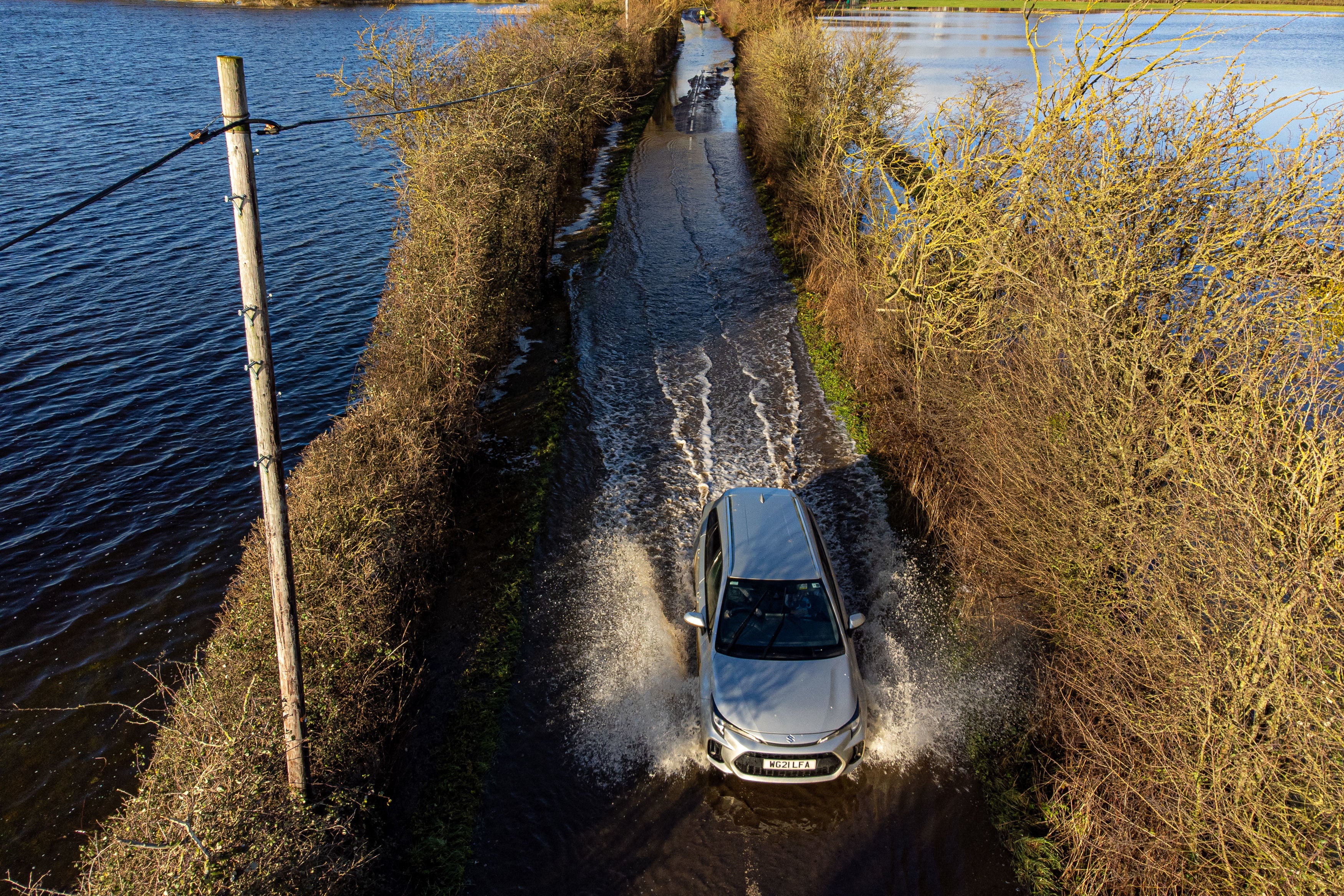
Your support makes all the difference.Hundreds of flood alerts have been issued as heavy rainfall battered parts of the UK this week, with more unsettled weather still to come.
The Environment Agency issued a total of 145 flood warnings and alerts across England on Wednesday afternoon, while two alerts were issued in Wales.
Of the flagged areas, 56 of the warnings mean flooding is expected while 89 of the alerts mean flooding is possible,
It comes as a major incident was declared in the worst affected areas, Somerset, where rivers burst their banks.
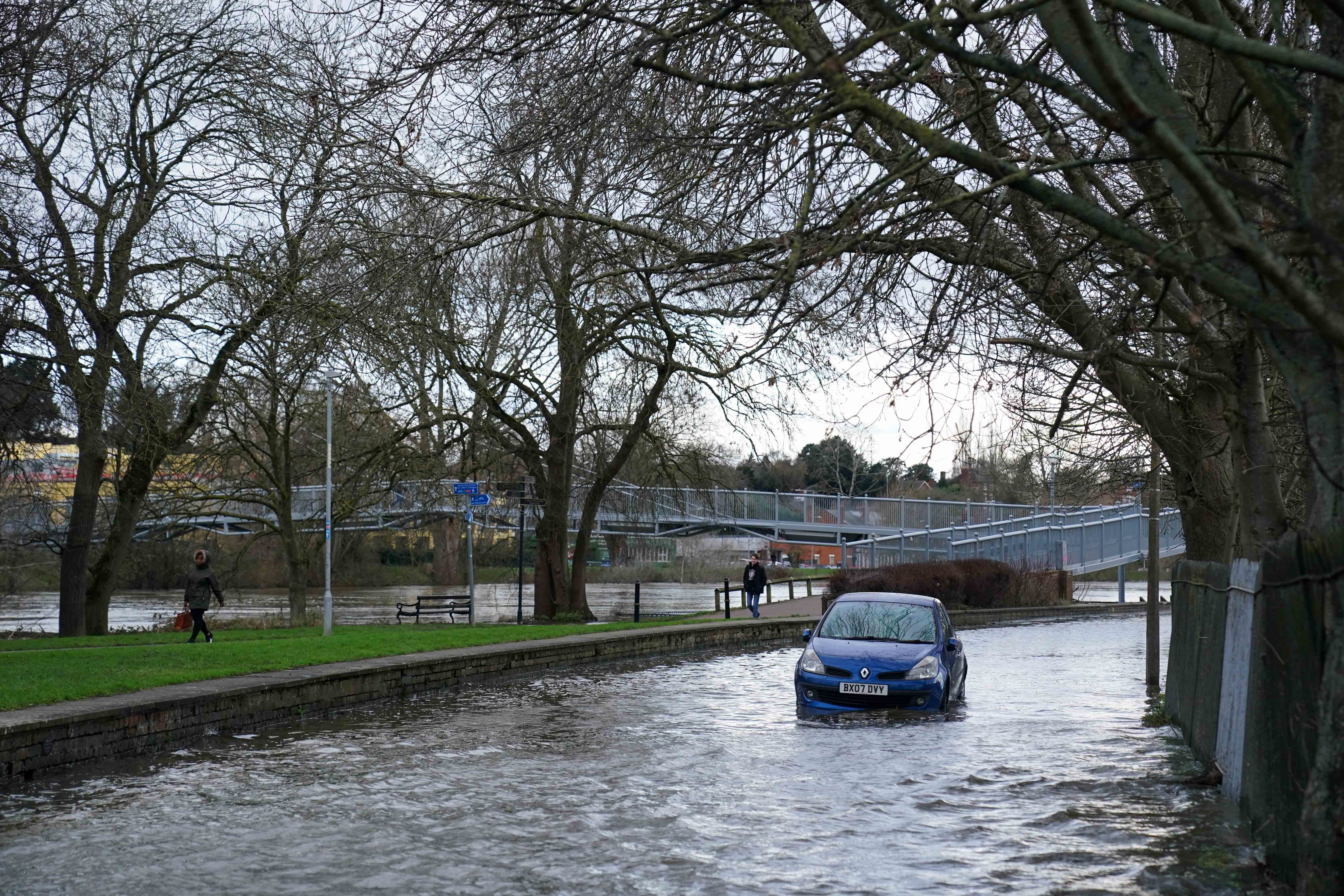


Downpours at the start of the week triggered widespread flooding of the Somerset Levels and Moors, designed to store flood water when the rivers flowing through them burst their banks.
The major incident was issued jointly by the Environment Agency, Somerset County Council, Sedgemoor District Council, Somerset West and Taunton Council, Mendip District Council and South Somerset District Council.
Enhanced pumping began on Tuesday evening at Northmoor to reduce the amount of water being stored until river levels allow pumping to resume at Currymoor, which remains full.
The Environment Agency urges residents to check their flood risk by signing up for flood warnings and create a flood plan so they know what action to take and are prepared to act. You can find links at https://check-for-flooding.service.gov.uk.
Here is a map which shows the areas impacted by flood warnings issued by the Environment Agency (as of Wednesday 3pm):
More rain and wintry showers are expected on Wednesday evening across northern and western areas and are set to continue into Thursday morning, according to the Met Office.
Met Office five day forecast
This Evening and Tonight:
Wintry showers affecting some northern and western areas, with some snow accumulations, mainly across northern Scotland and high ground elsewhere. Turning icy. Clear elsewhere with a widespread sharp frost. Windy in the far north.
Thursday:
Further wintry showers in the north and west, with some more persistent rain, sleet and snow in the morning. Mostly dry with sunny spells elsewhere but remaining cold.
Outlook for Friday to Sunday:
Mostly dry, bright and cold on Friday, with a sharp frost early and late. Slowly turning milder for most through the weekend, with cloud and occasional rain edging southeastwards.
Join our commenting forum
Join thought-provoking conversations, follow other Independent readers and see their replies
Comments