UK braces for snow and wintry showers as temperatures set to plummet this weekend
Scotland and northern England expected to bear brunt of colder weather
Your support helps us to tell the story
From reproductive rights to climate change to Big Tech, The Independent is on the ground when the story is developing. Whether it's investigating the financials of Elon Musk's pro-Trump PAC or producing our latest documentary, 'The A Word', which shines a light on the American women fighting for reproductive rights, we know how important it is to parse out the facts from the messaging.
At such a critical moment in US history, we need reporters on the ground. Your donation allows us to keep sending journalists to speak to both sides of the story.
The Independent is trusted by Americans across the entire political spectrum. And unlike many other quality news outlets, we choose not to lock Americans out of our reporting and analysis with paywalls. We believe quality journalism should be available to everyone, paid for by those who can afford it.
Your support makes all the difference.Temperatures are set to drop in the weeks leading up to Christmas, as wintry showers and cold blasts hit the UK this weekend.
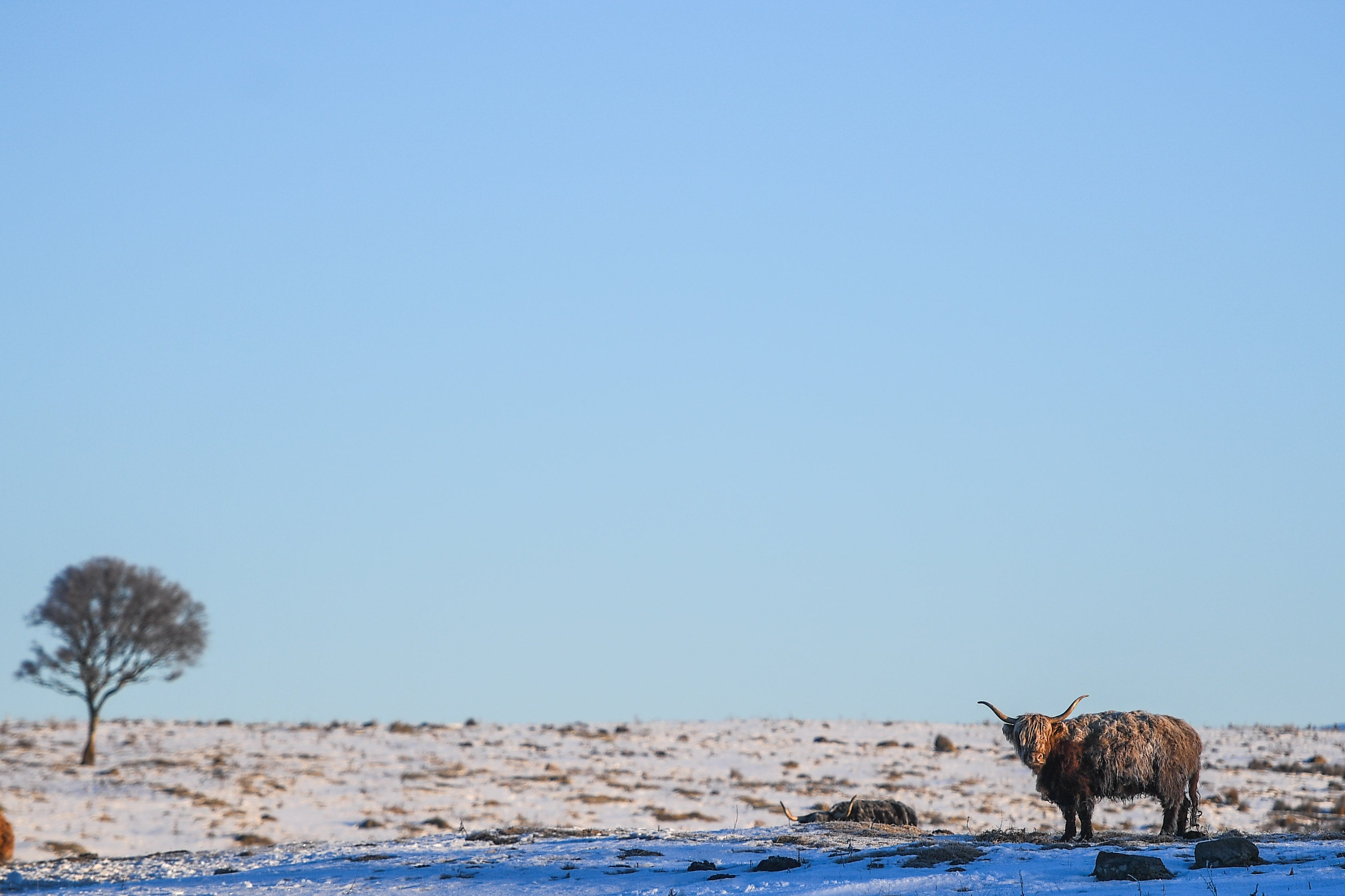
Snow and frost are expected to sweep parts of the UK this weekend in the first significant cold snap of the year, according to the Met Office.
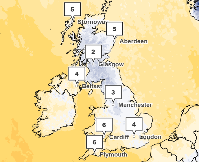
Saturday is poised to be the coldest night of the year nationwide, marking the onset of sub-zero temperatures.
Sleet and snow are expected to fall on the northern regions of Scotland and elevations surpassing 400m (1,312ft).
Meteorologists anticipate temperatures dropping to -4C in Wales and -5C in the rural south west during the night.
The Met Office predicts a north-south divide this coming weekend, with areas in Scotland and northern England experiencing overnight frost while the south remains dry.
The impending cold comes shortly after Storm Babet and Storm Ciaran wreaked havoc across the country, causing travel disruption and flooding to homes in recent weeks. Two rare red weather warnings were issued for Storm Babet, with 30,000 properties losing power and at least seven people killed.
Speaking to The Independent, a Met Office spokesperson said those in the north could expect conditions to turn colder with temperatures dropping to -2C overnight as the week progressed, with a “good deal of bright weather” and frost.
However, they are not expecting anything disruptive, with the drop in temperature noted as “very typical early winter conditions”.

Helen Caughey, a Met Office deputy chief forecaster, said: “Already there is a lot of media speculation about the prospects for snow later this week and for a white Christmas. Whilst it is too early to give any indications for Christmas, some colder weather is likely for the end of the week, and into the weekend.
“So, what do we know. There is a reasonably strong signal for lower temperatures across the UK by the weekend. But that isn’t guaranteed, and those lower temperatures don’t mean widespread snow.
“There is a 70 per cent chance that areas as far south as southern England could experience overnight frosts and a general reduction in temperature. However, there is still a 30 per cent chance that the colder conditions won’t get that far south. Any falling snow is likely to be confined to the far northeast, and hills and mountains of Scotland.”

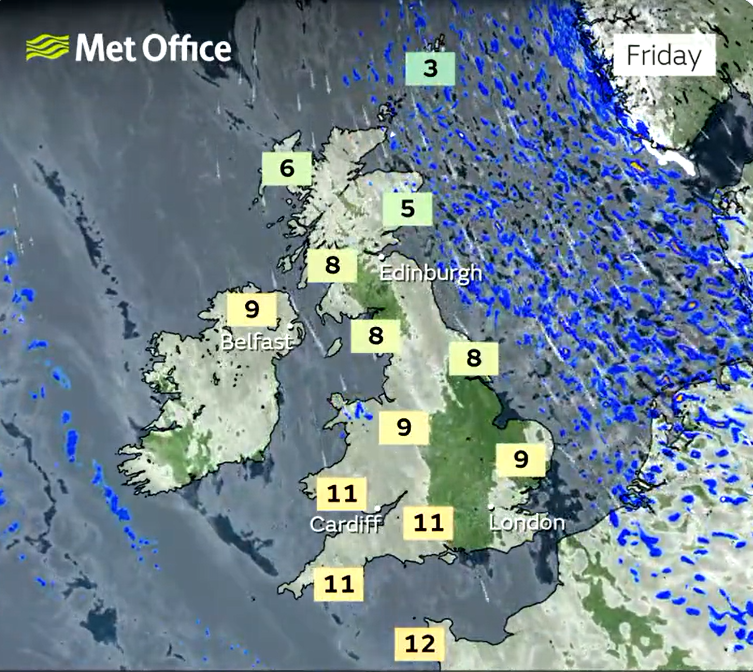
In their long-range weather forecast from Friday to 3 December, the Met Office said to expect a north-south split in weather conditions, with areas such as western Scotland experiencing cloud, rain and wind.
They said: “Within this overall pattern, there may well be incursions of colder air at times, especially across north and northeast UK, with wintry showers and overnight frost.
It’s uncertain just when such cold spells will occur and how extensive they will be, and it may be that this happens more than once with periods of milder, wetter weather in between.
Further onwards in December, colder interludes are predicted with spells of rain, showers and stronger winds.

“The most likely scenario through early December is for predominantly changeable weather, with spells of rain or showers and strong winds interspersed by short-lived drier, brighter periods, although there is a lower chance of more prolonged settled conditions developing,” they said.
“Rainfall amounts are likely to be near or above average, with the heaviest rain likely to be in the northwest at first, perhaps shifting further south towards mid-December.
“Temperatures will most likely be near or a little above average for the period as a whole, although some colder interludes are possible. As is normal in December, occasional frost and wintry showers are likely at times.”

Join our commenting forum
Join thought-provoking conversations, follow other Independent readers and see their replies
Comments