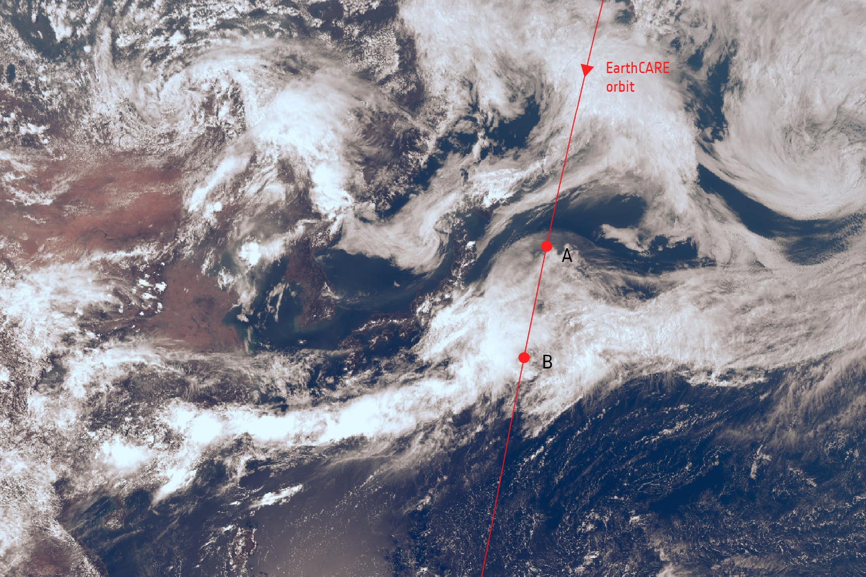
Satellite photo sheds light on mystery of what happens inside clouds
Scientists said the image offers a unique glimpse into the internal structure of clouds and ‘is all we hoped for, and more’

Your support helps us to tell the story
From reproductive rights to climate change to Big Tech, The Independent is on the ground when the story is developing. Whether it's investigating the financials of Elon Musk's pro-Trump PAC or producing our latest documentary, 'The A Word', which shines a light on the American women fighting for reproductive rights, we know how important it is to parse out the facts from the messaging.
At such a critical moment in US history, we need reporters on the ground. Your donation allows us to keep sending journalists to speak to both sides of the story.
The Independent is trusted by Americans across the entire political spectrum. And unlike many other quality news outlets, we choose not to lock Americans out of our reporting and analysis with paywalls. We believe quality journalism should be available to everyone, paid for by those who can afford it.
Your support makes all the difference.A new image is helping shed light on how ice and snowflakes suspended within clouds turn into rain.
It is thought that understanding how fast rain and snow falls could help improve weather and climate predictions.
“Thrilled” scientists said the image taken by Earthcare – a joint mission between Europe and Japan – offers a unique glimpse into the internal structure of clouds and “is all we hoped for, and more”.
Experts identified distinct layers within the clouds, with ice crystals and snowflakes suspended at the top, some of which are falling slowly below.
The centre is where the cloud is the densest, which features more large particles, the European Space Agency (ESA) said.
In the bottom layer, data shows particles are falling at a faster rate, indicating ice and snow are transforming into water droplets.
Scientists said they found a clear boundary, at an altitude of around 5,000 metres, where the ice and snow is melting.
Takuji Kubota, a mission scientist at the Japanese space agency, Jaxa, said: “We are thrilled to be able to present this first image, which reveals detail on the internal structure of cloud dynamics over the ocean, east of Japan on June 13.
“This is the first image of its kind – we have never had this kind of information measured from space before.
“It is all we hoped for, and more.”
The image was taken using the probe’s cloud profiling radar instrument, which was provided by Jaxa.
Earthcare, which stands for Earth Cloud Aerosol and Radiation Explorer, also has three other instruments which are expected to send back data in the next weeks and months.
The probe will help scientists understand how aerosols (fine particles) such as dust and smoke play a role in heating and cooling the Earth’s atmosphere.
The satellite will also measure radiation emitted by the planet.
Simonetta Cheli, ESA’s director for Earth observation programmes, said: “This is a fantastic first result from our Jaxa partners, and a true indication of what we can expect in the future when the satellite and all of its instruments are fully calibrated and commissioned.
“We now look forward to seeing the first results from Earthcare’s other three instruments.
“The key to the mission is having all four instruments working together to give us a holistic understanding of the highly complex interactions between clouds, aerosols, incoming solar radiation and outgoing thermal radiation to help better predict future climate trends.”