Arctic blast brings cold wind, hail and rain as Met Office gives snow update
Showers will continue through Wednesday evening and overnight
Your support helps us to tell the story
From reproductive rights to climate change to Big Tech, The Independent is on the ground when the story is developing. Whether it's investigating the financials of Elon Musk's pro-Trump PAC or producing our latest documentary, 'The A Word', which shines a light on the American women fighting for reproductive rights, we know how important it is to parse out the facts from the messaging.
At such a critical moment in US history, we need reporters on the ground. Your donation allows us to keep sending journalists to speak to both sides of the story.
The Independent is trusted by Americans across the entire political spectrum. And unlike many other quality news outlets, we choose not to lock Americans out of our reporting and analysis with paywalls. We believe quality journalism should be available to everyone, paid for by those who can afford it.
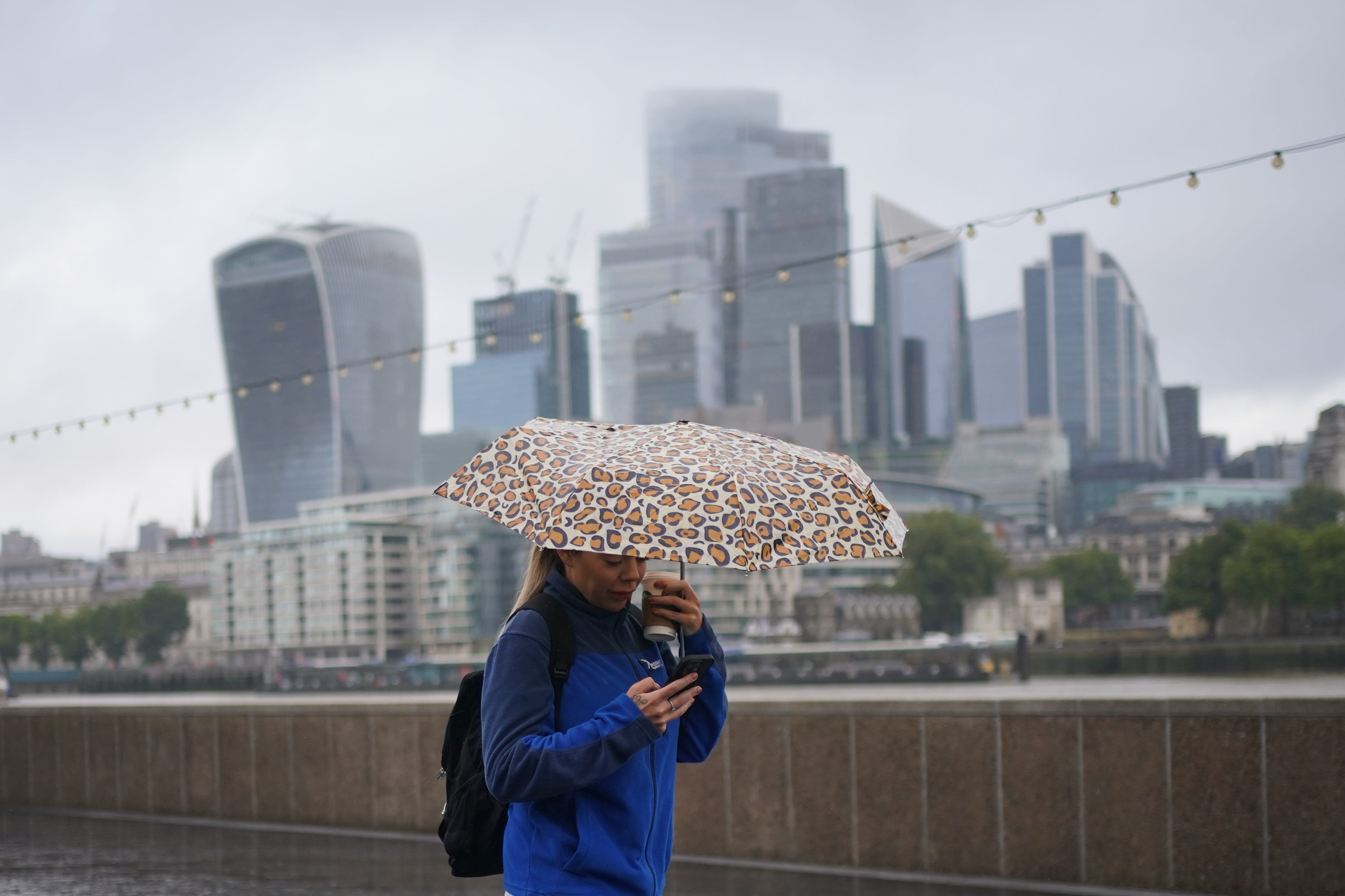
Your support makes all the difference.Arctic air has swept across the UK causing bitter temperatures and frost.
The Met Office has said to expect showers and cold winds as the UK sees below-average temperatures. There is also a chance of patchy frost, the forecaster warned.
Blustery showers, with a small risk of thunder and hail, are forecast for Wednesday, particularly in the north, the forecaster added.
Some snow or sleet may be seen on the Scottish mountains on Wednesday as temperatures will be about 4C or 5C below average for the time of year, with 10C to 13C in Scotland and 13C to 16C in southern England.

Clare Nasir, Met Office meteorologist, said: “Yesterday, (there were) severe gales across the north east of Scotland and some persistent rain, all courtesy of this area of low pressure.
“And this low, the position of it, continues to affect our weather through the next few days.”
She said this means “showers, some sunshine and a cold wind”.
The showers will continue through Wednesday evening and overnight, but will fade away in land, and be more frequent across northern and western areas.
Frost might be seen in some areas overnight as temperatures drop to 4C or 5C, then sunshine is forecast.
“Winds won’t be as blustery across in-land areas, showers particularly along the coastline, they may develop in land, but there will be some drier interludes and a mix of cloud and sunshine yet again, temperatures 14C or 15C in the south,” Ms Nasir said.
Friday will generally be a dry day after possible patchy frost again on Thursday night.
She added: “A ridge of high pressure is moving in, so a cold start, with a localised frost, but with that we’ll see some sunshine.
“All change though as we head into the weekend from the north west.”
Temperatures are expected to return nearer to average for this time of year at the weekend, with highs of up to 21C in the south.
Meteorologist Tom Morgan said: “It will be much warmer and settled in the south, but it’s turning wet and windy for western Scotland.
“It’s much more typical September weather on the way into next week too.”