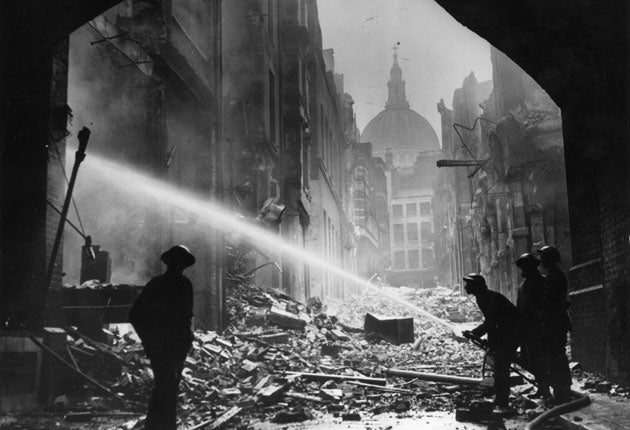
Jaw-dropping ‘Bomb Sight’ map shows where Blitz hit London streets

Your support helps us to tell the story
From reproductive rights to climate change to Big Tech, The Independent is on the ground when the story is developing. Whether it's investigating the financials of Elon Musk's pro-Trump PAC or producing our latest documentary, 'The A Word', which shines a light on the American women fighting for reproductive rights, we know how important it is to parse out the facts from the messaging.
At such a critical moment in US history, we need reporters on the ground. Your donation allows us to keep sending journalists to speak to both sides of the story.
The Independent is trusted by Americans across the entire political spectrum. And unlike many other quality news outlets, we choose not to lock Americans out of our reporting and analysis with paywalls. We believe quality journalism should be available to everyone, paid for by those who can afford it.
Your support makes all the difference.A searchable online map showing where German bombs fell during the 1940-41 Blitz has gone viral as Londoners discover whether their street or home was hit.
The 'Bomb Sight' project was set up to map where bombs fell from 7th October 1940 to the 6th June 1941, a period of "blackout" many Londoners spent moving between home and impromptu bomb-shelters.
The project scanned original bomb census maps, previously available only in the Reading Room at the National Archives, and transferred them to an online application that lets users type in their postcode and see the damage wrought.
Twitter users responded in shock:
"How was there anything left?", said @grifferz.
"Utterly astonishing", said @lauratosney.
"The most amazing site", added Times columnist @indiaknight.
Join our commenting forum
Join thought-provoking conversations, follow other Independent readers and see their replies
Comments