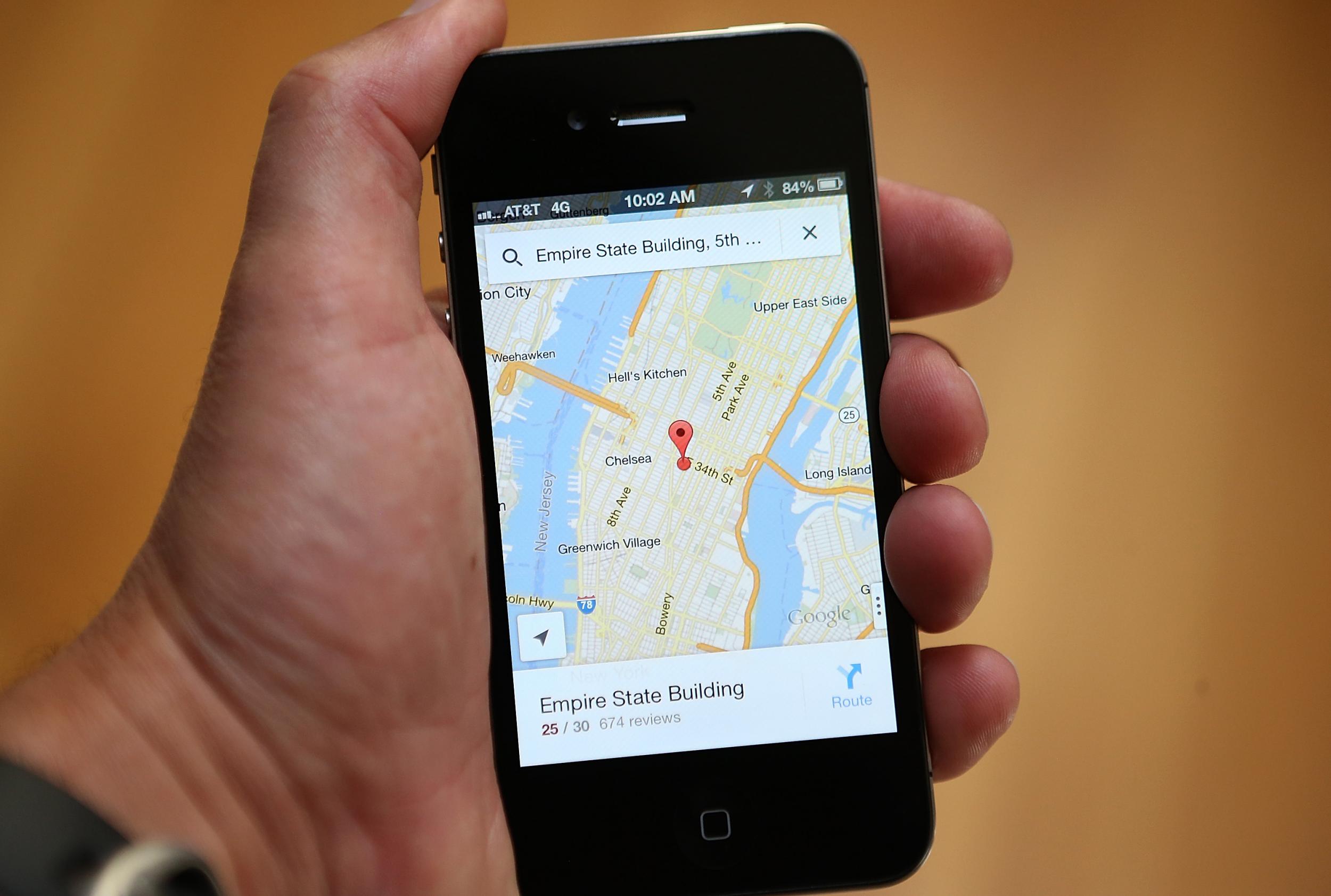
Google Maps offline service launches, so you can find your way even with no connection
Getting lost with no signal could soon be a thing of the past

Google has launched a feature for their Maps app that allows users to download detailed maps of certain areas, so they can get directions and find their way even when you're offline.
The useful feature is currently only avaiable on Android, but there are plans to bring it to iOS soon.
It was previously possible to view a map offline within the app, but with few details and no location services, they were next to impossible to use for navigation.
Now, users can download a detailed map of their local area (or somewhere they're planning on travelling to) that will let them access turn-by-turn directions, details and locations of specific places, and information like reviews or contact details for local spots.
Obviously, downloading a map takes up space on your phone, which is always at a premium - Google says that downloading the map of Greater London would take up around 300MB of storage, which is quite a lot if you already have pictures, music and photos on your phone.
But if you get lost in the middle of nowhere with no connection, it could prove invaluable.
Users can choose the size and location of the area they want to download, either through a prompt when searching for something, or by adding it manually to the 'Offline Areas' tab in the menu.
The maps will only download when users are connected to WiFi, and wil switch "seamlessly" back and forth between online and connected modes if there's a spotty connection.
And the offline maps will update every 15 days when connected to WiFi, so they'll be up to date even if users don't have access to the usual traffic and accident information.
It's early days for the feature, and Google says it will introduce more offline features as time goes on - but it's easy to see the potential of this feature, especially for users travelling to foreign countries where they may not have a data connection, or for people who live in areas where there's a poor signal.
Speaking to the BBC, product manager Amanda Bishop said the Google Maps team had spent around two years working on the offline feature.
This idea is not a first in mobile mapping - Here Maps, available for iOS and Android now, allows users to download maps in the same way - but since Google Maps is a far more ubiquitous app, this latest development is likely to have more of an impact.
Join our commenting forum
Join thought-provoking conversations, follow other Independent readers and see their replies
Comments