A map of countries that don’t exist: Exclusive book extract
Nick Middleton examines the notion of nations and borders, creating an atlas of countries, states and republics that may not officially exist but that strive for legitimate political recognition

Your support helps us to tell the story
From reproductive rights to climate change to Big Tech, The Independent is on the ground when the story is developing. Whether it's investigating the financials of Elon Musk's pro-Trump PAC or producing our latest documentary, 'The A Word', which shines a light on the American women fighting for reproductive rights, we know how important it is to parse out the facts from the messaging.
At such a critical moment in US history, we need reporters on the ground. Your donation allows us to keep sending journalists to speak to both sides of the story.
The Independent is trusted by Americans across the entire political spectrum. And unlike many other quality news outlets, we choose not to lock Americans out of our reporting and analysis with paywalls. We believe quality journalism should be available to everyone, paid for by those who can afford it.
Your support makes all the difference.FORVIK
(also known as Forewick Holm)
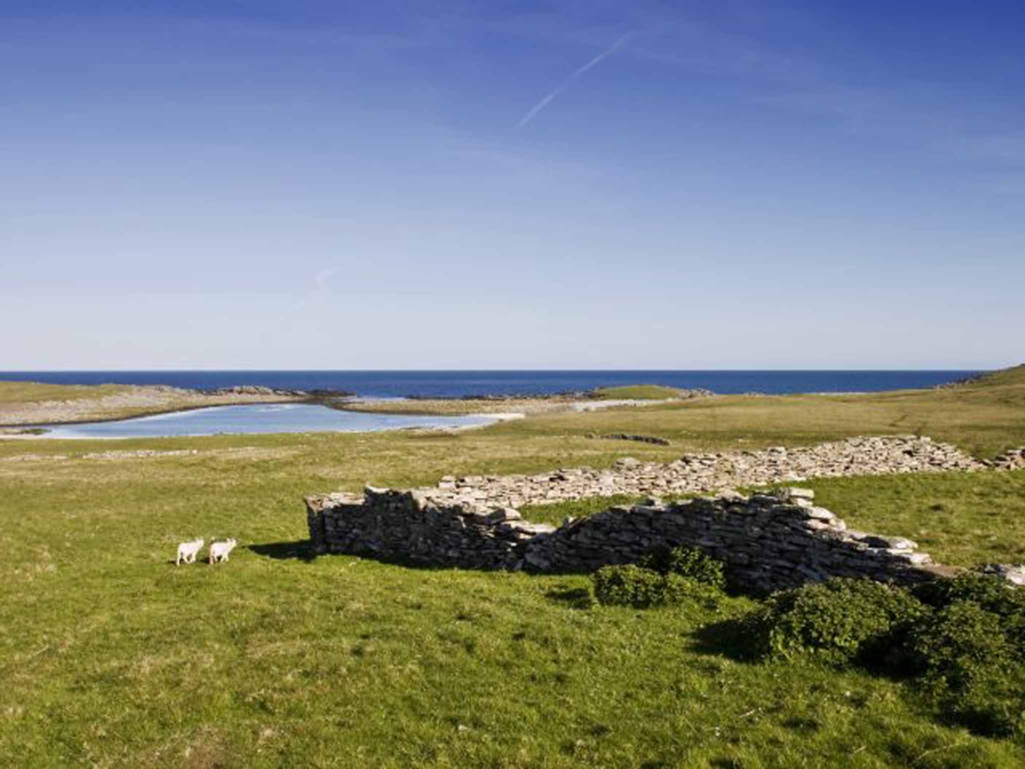
Shetland island state created by an English yachtsman
Declared: 23 February 2011
Founder: Stuart Hill
Population: 1
Area: 0.01 km sq
Language: English
Stuart Hill spent his first night in the North Sea archipelago of Shetland in hospital with hypothermia. He had been rescued by coastguards after capsizing in his converted rowing boat, Maximum Exposure, during an ill-fated attempt to circumnavigate the British Isles. It was the eighth and final time he was rescued in the four months since leaving Kent, and his maritime mishaps had earned him a nickname in the British media – Captain Calamity.

But he liked Shetland, so Hill decided to stay. By 2008 he had taken up residence on the windswept islet of Forvik, and began a campaign for self-determination based on Shetland's cultural affinity with Scandinavia, a facet of its Viking heritage. The islands, he argued, technically remained part of the Norse empire that had passed into history. Hoping to be the vanguard of a wider Shetland autonomy, Mr Hill posed a query: could the UK government explain the basis for its perceived authority in Shetland?
The answer was a deafening silence. Nobody took much notice until Hill was sued by a debt agency. At last he saw an opportunity to test his legal argument that Scotland had no jurisdiction over Shetland. Standing in the dock, his exchange with Sheriff Philip Mann was genial but ultimately fruitless. The sheriff said he could not agree with Mr Hill's position. “If you're correct I might as well just fold up my papers and walk out now,” he told him. “I don't see how I can competently make a ruling that I'm sitting here incompetently.”
When asked for his position on the case itself, Mr Hill offered no defence and said he would appeal to a higher court. Sheriff Mann made him bankrupt but wished Captain Calamity the best of luck.

BAROTSELAND
Long-standing monarchy seeking recognition as Africa's newest state
Declared: 8 September 2011; 27 March 2012
Population: 3,500,000
Area: 126,386 km sq
Language: Silozi, English, 37 other tribal languages
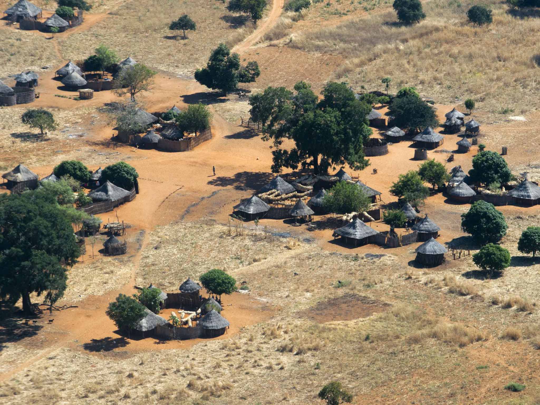
Barotseland is traditionally a mobile kingdom. Every year, as Zambezi River floodwaters seep slowly into their pastures, they up sticks and move to higher ground. This annual migration is celebrated in a ceremony known as Kuomboka, literally “to get out of the water”. When the Moon is full, the thundering of huge drums calls the royal paddlers to assemble from far and wide. Wearing bright red berets, and accompanied by jubilant singing, they propel the royal barges towards the wet-season capital. It is the signal for the king's subjects to load their possessions into dug-out canoes and join the flotilla, leaving their now waterlogged villages behind for another year.
This has been the way of things for as long as anyone can remember. The kingdom has a history stretching back five centuries, but during colonial times Barotseland was a British protectorate, a status allowing greater autonomy than the rest of the area with which it was governed. Northern Rhodesia had colonisation; Barotseland had colonisation lite. When independence loomed in the early 1960s, the king was persuaded to muck in with what would become the new country of Zambia, on condition that Barotseland maintained that element of self-rule. An agreement was signed allowing the monarchy to pass its own laws over many local matters, including hunting and bushfire control, internal taxation and the beer supply. The deal was called the Barotseland Agreement 1964. BA64 for short.
Only BA64 was never implemented. Successive Zambian governments made promises, then failed to honour the deal for the kingdom to enjoy autonomy, systematically ignoring and rebuffing all arguments to the contrary. By 2011, Barotseland's royal household had had enough. A deal is a deal only if honoured by both sides. They pulled out, promising a peaceful disengagement from Zambia, a move denounced in Zambia's capital, Lusaka, as tantamount to treason.
DINETAH
The largest reservation-based Native American nation in the US, with a degree of self-government
Declared: 1 June 1868
Capital: Tseghahoodzani (Window Rock)
Population: 300,048
Area: 71,000 km sq
Language: Navajo, English, Hopi
They put a stop to it in 2005. When the act was finally signed into law, uranium mining and processing in the Navajo Nation ceased at a stroke. Too many Navajo had died from cancer or other diseases associated with radiation exposure. As one campaigner put it, this legislation had just chopped the legs off the uranium monster.
After the Second World War, mining provided significant income to the Dine, better known as Navajo, the name given them by neighbouring peoples. Dine veterans, who had used their language to create an unbreakable secret battlefield code while fighting the Japanese, returned home to find work in uranium mines on reservation lands.
Unaware of the dangers and without protective clothing, the effects of uranium poisoning ravaged an entire Navajo generation. That was before the worst nuclear accident in US history, which saw 100 million gallons of radioactive mining wastewater released into a local river.
Traditionally, the Navajo's homeland of Dinetah never had precise boundaries but was marked by four sacred mountains at the cardinal compass points. This territory was lost altogether in the mid-19th century, when the Navajo people were marched, at gunpoint, 350 miles to a squalid internment camp. In 1868, after four years' imprisonment, they were handed a treaty to sign. It confiscated 90 per cent of their homeland and allowed them to walk back to what was left.
Over the years additional plots were returned by presidential order until the Navajo Nation now stands as the largest Native American reservation in the US. Given US citizenship in the 1920s and permitted to teach their own language in schools in the 1960s, the Navajo were granted self-determination in 1975. Hence the authority to ban uranium. But with unemployment on the reservation at nearly 50 per cent and many people lacking such basics as electricity and running water, self-determination comes at a price.
MURRAWARRI
Aboriginal people that never ceded sovereignty over their ancient homeland
Declared: 30 March 2013
Capital: Barringun
Population: 1,500
Area: 81,796 km sq
Language: Murawari, English
They gave her four weeks to prove her case. How was it, they wanted to know, that Queen Elizabeth II of England, as constitutional monarch of Australia, had the right to govern Murrawarri? As far as they understood the matter, a country can claim authority over another territory in one of just three ways: by winning a war, signing a treaty, or occupying previously unoccupied land. No one in Murrawarri remembered signing a treaty, nor fighting a war. And they had been living there for longer than anyone could remember. Certainly long before the appearance of Europeans.
Look at the fish traps down at Brewarrina. Nobody knows how many centuries they've been there, but they may be 40,000 years old: the most ancient human construction in the world. It is said those rocks were positioned by Baiame, god of the Muruwari tribe, creator of everything. He designed those traps for local people during a time of drought, by casting his great net across the creek. The rock walls and stone pens mimic the pattern of his net along 400 metres of the river bed.
Murray cod, callop, catfish and silver perch could be herded and caught, during high and low flows alike, thanks to the stone traps. Steeped in legend and imbued with spiritual meaning, this was a bountiful spot in the dry scrub plain, one of the great inter-tribal meeting places of eastern Australia.
What then of that English monarch who would rule these prehistoric people? A month had passed and her time was up; answer came there none. For the people of Murrawarri, this resounding silence was tantamount to recognising them as an independent nation. So in March 2013 the Murrawarri issued a declaration of the continuance of the state of their nation, a fundamental challenge to more than 200 years of colonial rule.
RYUKYU (also known as Okinawa)
Formerly independent kingdom seeking secession from Japan
Declared: 4 February 2015
Capital: Naha
Population: 1,400,000
Area: 2,270 km sq
Language: Japanese, Uchinaaguchi
Dr Yasukatsu Matsushima leaned across the conference table and with great ceremony passed a document to the man from the foreign ministry. In doing so, he made the first direct request to the Japanese government. As co-founder of an academic society for research into Ryukyuan independence, Dr Matsushima had just initiated what he intended to be an historic chain of events.
A major focus of Ryukyu's discontent revolves around the continued presence of US military bases on Okinawa, the main island in the Ryukyu archipelago. The bases are jointly administered by the Japanese and American governments, but neither side takes much notice of the local viewpoint. The once-independent Ryukyu islands were seized by Imperial Japan in the late 19th century and were devastated when US troops invaded in 1945, losing over a third of their population in the fighting. The Americans kept the islands afterwards, requisitioning land to build huge military facilities on Okinawa before finally returning the archipelago to Japan in 1972. But they hung on to the bases, which still occupy about one-fifth of the island.
Calls by Ryukyuan people to remove the Americans are routinely ignored by central government, but an independent Ryukyu could eliminate the military bases herself. Dr Matsushima and colleagues have built a strong legal case for a return to self-rule. The document passed to the foreign ministry in February 2015 protested that the forced annexation of Ryukyu was an obvious violation of international law and demanded that the colonisation cease immediately.
The softly spoken professor of economics also asked for some documents in return: originals of three treaties between Ryukyu Kingdom and the US, France, and the Netherlands, signed with each country during the 1850s. These proved beyond doubt, he said, that Ryukyu was a sovereign nation at the time it was annexed.
Extracted from An Atlas of Countries that Don't Exist: a Compendium of Fifty Unrecognised and Largely Unnoticed States by Nick Middleton (Macmillan; £20)
Join our commenting forum
Join thought-provoking conversations, follow other Independent readers and see their replies
Comments