The south coast of Iran and Pakistan faces a worrying tsunami risk
Similarly to the tsunamis in South Asia in 2004 and Japan in 2011, tectonic plates moving in the Arabian Sea could bring destruction to the increasingly populated coastlines of Iran and Pakistan

Your support helps us to tell the story
From reproductive rights to climate change to Big Tech, The Independent is on the ground when the story is developing. Whether it's investigating the financials of Elon Musk's pro-Trump PAC or producing our latest documentary, 'The A Word', which shines a light on the American women fighting for reproductive rights, we know how important it is to parse out the facts from the messaging.
At such a critical moment in US history, we need reporters on the ground. Your donation allows us to keep sending journalists to speak to both sides of the story.
The Independent is trusted by Americans across the entire political spectrum. And unlike many other quality news outlets, we choose not to lock Americans out of our reporting and analysis with paywalls. We believe quality journalism should be available to everyone, paid for by those who can afford it.
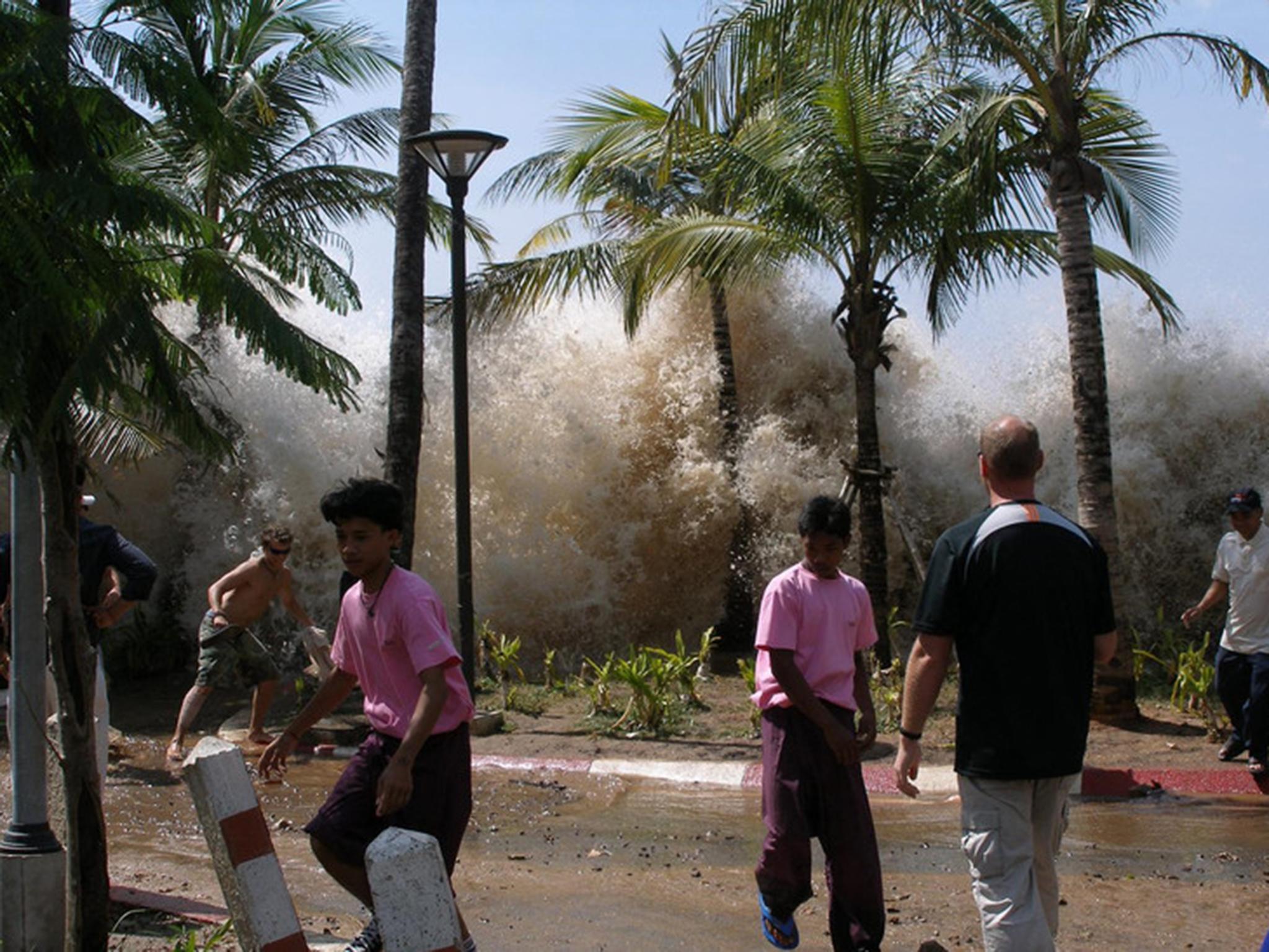
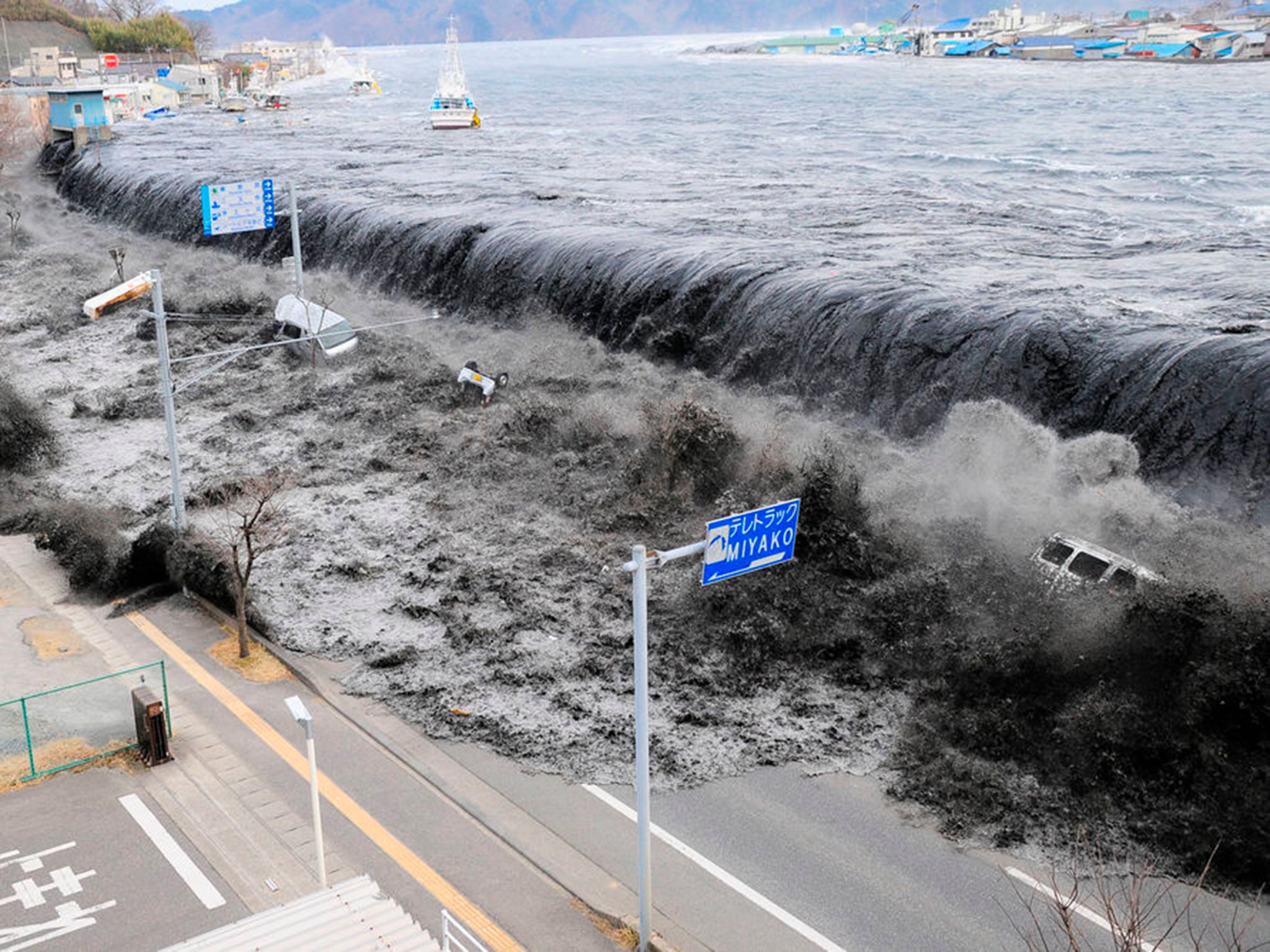
Your support makes all the difference.That tsunamis can cause death and devastation has become painfully clear over the past two decades. On Boxing Day 2004, a magnitude 9 earthquake off the coast of Sumatra caused waves several metres high to devastate the Indian Ocean – killing more than 230,000 people in 14 countries. In 2011, another magnitude 9 earthquake, this time off Japan, produced waves up to 20 metres in height, flooding the Fukushima nuclear reactor. It killed more than 15,000 people.
A new study, published in Geophysical Journal International by my colleagues and me, suggests that a 1,000km long fault at the northern end of the Arabian Sea may pose a similar threat.
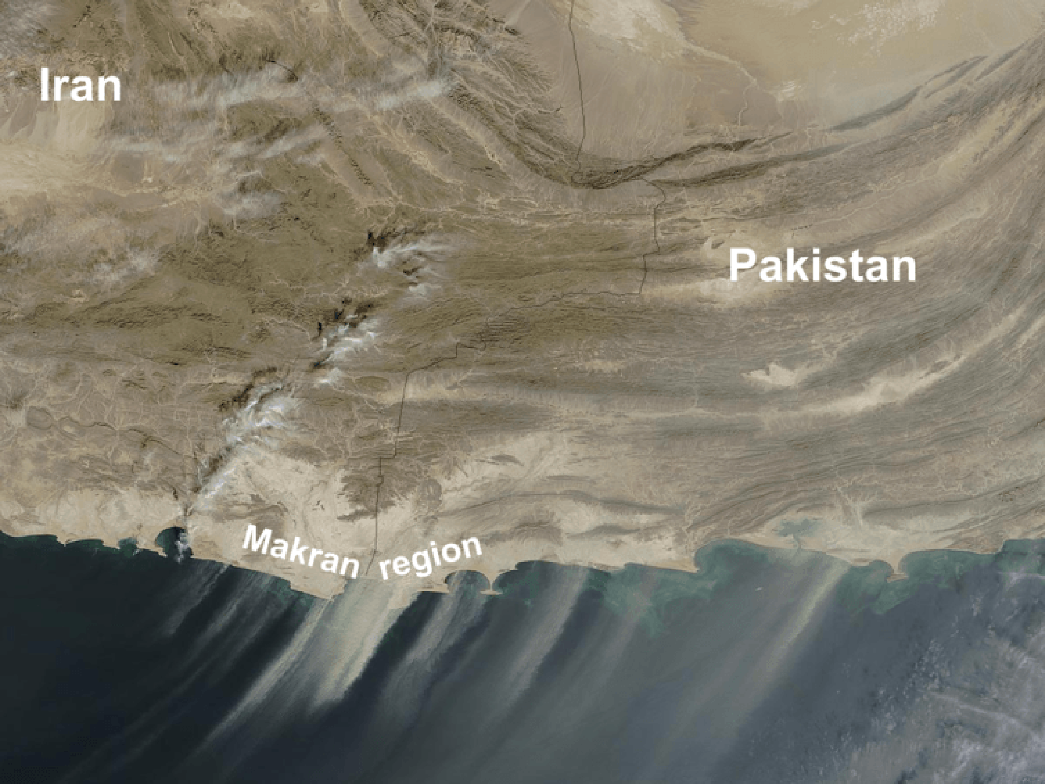
The Makran, as the southern coastal region of Iran and Pakistan is known, is a subduction zone. In such regions, one of the Earth’s tectonic plates is dragged beneath another, forming a giant fault known as a “megathrust”. As the plates move past each other, they can get stuck, causing stress to build up. At some point the stress becomes high enough that the megathrust becomes an earthquake.
This was exactly what caused the Sumatra 2004 and Tohoku 2011 earthquakes. When a megathrust moves suddenly, the whole seafloor is offset and the water has to move out of the way over a huge area. This sets off waves with particular characteristics that can cross entire oceans: tsunamis. The phenomenon, along with their potentially large size, makes subduction zone earthquakes particularly dangerous.

But just because a part of a subduction zone produces earthquakes doesn’t mean that the whole megathrust can move in one go. We often see that stress builds up at different rates on different parts of the fault, with some parts sliding smoothly past each other. How much of a megathrust can move in one go is important because it determines the size of the resulting earthquake. The amount that the Makran megathrust can move in earthquakes has been a longstanding question, but the hostile climate and challenging politics of the region have made research difficult.
We know that the eastern part of the Makran megathrust (in Pakistan) can produce large earthquakes. A magnitude 8.1 quake off the coast of western Pakistan in 1945 caused a tsunami which killed about 300 people along the coasts of Pakistan and Oman. There have been several smaller earthquakes on the megathrust since, including a magnitude 6 in February this year.
If the western part of the Makran (in Iran) also produces earthquakes – and the whole Makran megathrust were to move in one go – it could produce a magnitude 9 earthquake, similar to those in Sumatra and Tohoku.
However, we have never actually recorded a subduction earthquake in this part of Makran. In fact, there are only records of one candidate quake from 1483 – and the actual location of this is disputed. But it’s important to keep in mind that just because we haven’t seen an earthquake doesn’t mean that there couldn’t be one – particularly since the intervals between earthquakes are often hundreds or thousands of years. Historically, not many people have lived in the remote Iranian Makran, a desert which killed Alexander the Great’s army. So earthquakes might simply not have been documented.
GPS data
We used new data to look for tell-tale signs of a possible earthquake. Imagine a piece of paper on a table. If you hold one end and push the other end towards it, the paper crumples up and the distance between the two ends gets shorter. If you let go, the paper flattens out. The fixed end is like a megathrust which is stuck. Indeed, if the Arabian plate is stuck, and stress is building up, southern Iran will be squeezed and shortened. We can look for evidence of this shortening by using a more accurate version of the GPS systems found in smartphones. My co-authors from the National Cartographic Centre in Iran have set up a network of GPS stations to measure how fast different parts of Iran are moving relative to Arabia.
We found that the velocities fit with Iran being shortened near the coast, suggesting that stress is indeed building up, and meaning there could be a large subduction earthquake in the future. This fits with recent work looking at large boulders along the coast of Oman, thought to have been deposited by tsunamis. The locations of these boulders suggest that the tsunami which brought them there would need to have come from a subduction earthquake, either in western Makran or along the entire subduction zone – including Pakistan. These boulders were probably deposited in the last 5,000 years, but we can’t know for sure.

This is a hazard that people need to be aware of, particularly those living in coastal regions around the Arabian Sea. Rapid urbanisation along the Omani and Pakistani coasts in recent years has increased the population exposed to earthquakes and tsunamis in the Makran. Karachi, at the eastern end of the subduction zone, is now a megacity and home to around 25 million people. Much of Muscat, the Omani capital, is less than 10 metres above sea level, making it vulnerable to tsunamis. The port of Gwadar in Pakistan, which was badly damaged in a 1945 earthquake, is also undergoing massive development.
To help protect these people, and make sure that they are properly prepared, we need to understand this hazard better. Education and early warning are both key – exercises testing the Indian Ocean Tsunami Warning System are a step in the right direction, especially if they engage the public.
At the moment, we can only say that a large earthquake in the Makran is consistent with the limited data which we have available. By continuing to work with scientists in Iran and Pakistan to make more measurements I hope that in the future we will have a much better idea of what to expect from this subduction zone.
Camilla Penney is a PhD Candidate in geophysics at the University of Cambridge. This article first appeared on The Conversation (theconversation.com)
Join our commenting forum
Join thought-provoking conversations, follow other Independent readers and see their replies
Comments