Australia avoids worst of Cyclone Ita but more wind, rain due

Your support helps us to tell the story
From reproductive rights to climate change to Big Tech, The Independent is on the ground when the story is developing. Whether it's investigating the financials of Elon Musk's pro-Trump PAC or producing our latest documentary, 'The A Word', which shines a light on the American women fighting for reproductive rights, we know how important it is to parse out the facts from the messaging.
At such a critical moment in US history, we need reporters on the ground. Your donation allows us to keep sending journalists to speak to both sides of the story.
The Independent is trusted by Americans across the entire political spectrum. And unlike many other quality news outlets, we choose not to lock Americans out of our reporting and analysis with paywalls. We believe quality journalism should be available to everyone, paid for by those who can afford it.
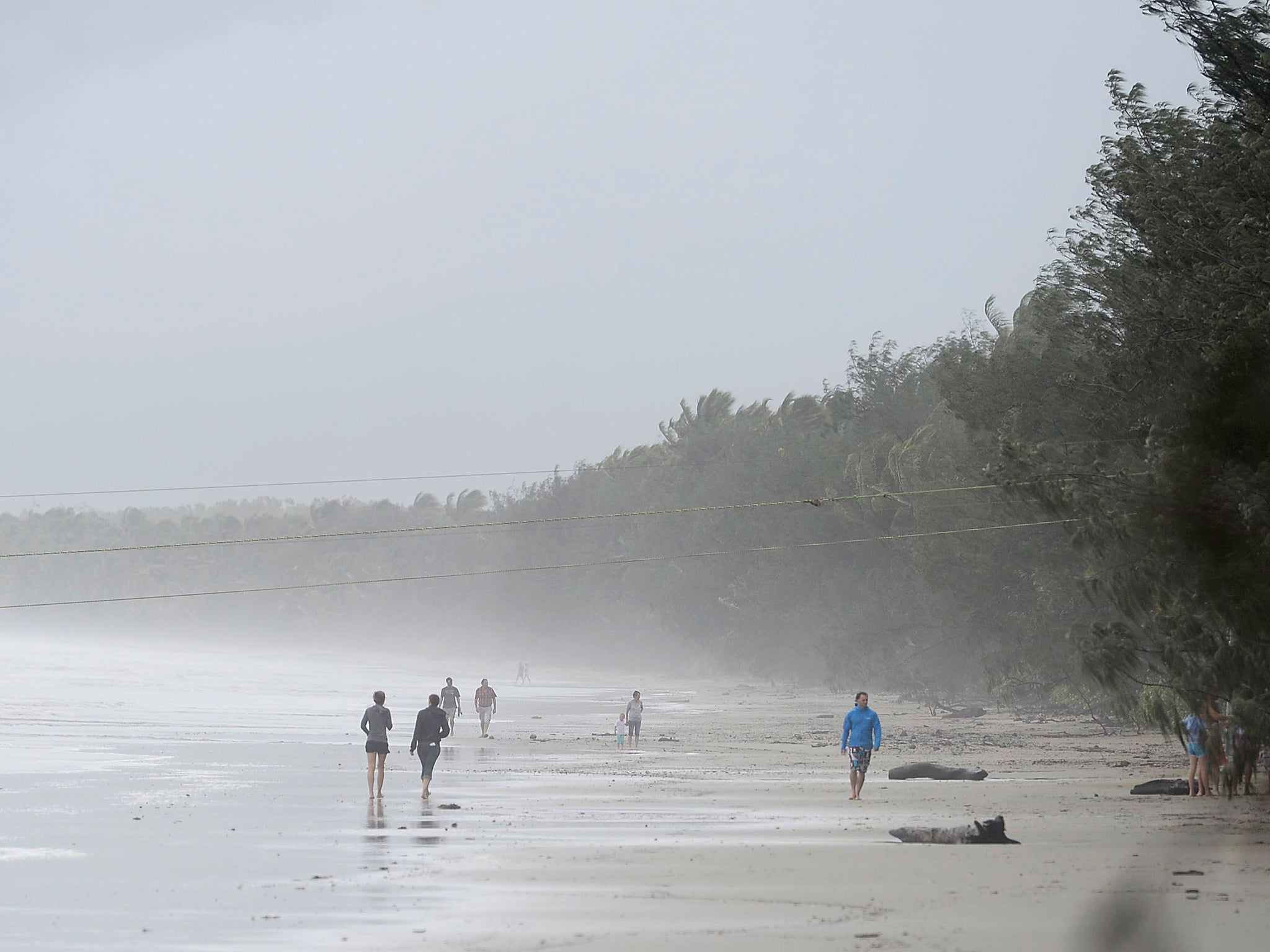
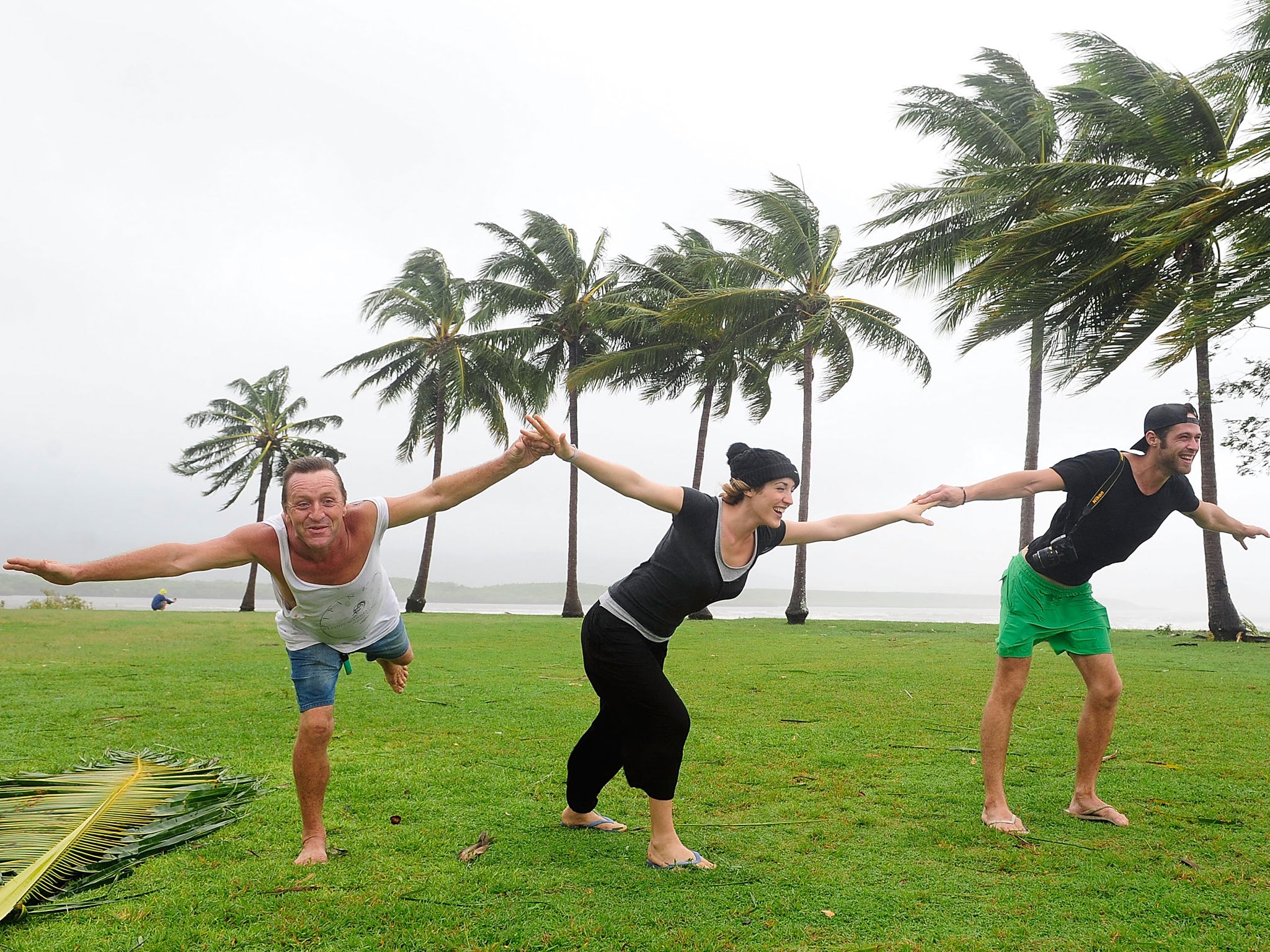
Your support makes all the difference.Australia's northeast escaped the worst of a tropical cyclone that was expected to wreak havoc and bring dangerous storm tides after it weakened and was downgraded on Saturday.
There were no reports of injuries and while power was cut to some communities and buildings sustained some damage, there were no reports of major damage to infrastructure, authorities said.
"I am greatly relieved that at this time we've had no reports of either death or injury," Queensland Premier Campbell Newman said.
Even though tropical Cyclone Ita was downgraded from a Category 5 storm to Category 1, Newman urged residents to stay at home or in shelters as wind gusts of up to 75 miles per hour and heavy rain were still forecast for some areas.
Shortly before noon, the storm was estimated to be 50 miles southwest of Cooktown and 70 miles northwest of the tourist city of Cairns, the weather bureau said.

It is expected to further weaken as it moves south and turn into a tropical low as it heads back out over the Coral Sea late on Saturday.
The storm, the strongest to approach the Queensland coast in three years, was classified as a tropical depression when it marched across the Solomon Islands late last week, killing at least 23 people, according to the United Nations.
While the heavy rain may be welcomed in parts of northeast Queensland where drought has been forcing farmers to slaughter record numbers of animals as grazing land has wilted, sugar farmers, who grow about 95 percent of the sweetener produced in Australia, are expecting crop losses.
Early reports posted on the industry body Canegrowers' website showed crops being hit with high wind and heavy rain. Cairns region grower Andrew Greenwood said the some of his cane had been hit and would not start to grow again for three to four weeks.
Cyclones in Australia are measured from 1 to 5, with 1 the weakest and Category 5 with winds exceeding 175 miles per hour.
REUTERS
Subscribe to Independent Premium to bookmark this article
Want to bookmark your favourite articles and stories to read or reference later? Start your Independent Premium subscription today.
Join our commenting forum
Join thought-provoking conversations, follow other Independent readers and see their replies
Comments