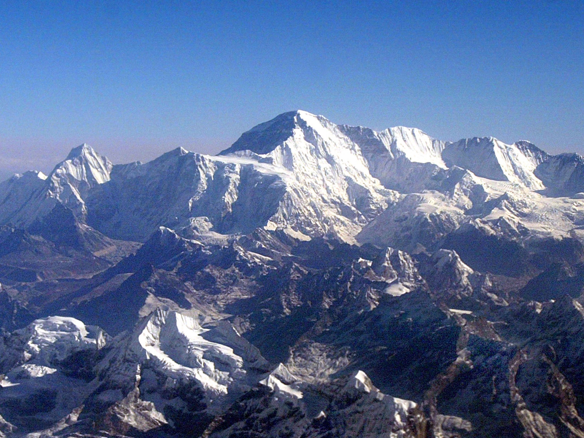
Mount Everest may have shrunk after earthquake, Nepal’s government believes
‘It will not be easy to work in that terrain but we are confident our mission will be successful,’ chief surveyor says

Your support helps us to tell the story
From reproductive rights to climate change to Big Tech, The Independent is on the ground when the story is developing. Whether it's investigating the financials of Elon Musk's pro-Trump PAC or producing our latest documentary, 'The A Word', which shines a light on the American women fighting for reproductive rights, we know how important it is to parse out the facts from the messaging.
At such a critical moment in US history, we need reporters on the ground. Your donation allows us to keep sending journalists to speak to both sides of the story.
The Independent is trusted by Americans across the entire political spectrum. And unlike many other quality news outlets, we choose not to lock Americans out of our reporting and analysis with paywalls. We believe quality journalism should be available to everyone, paid for by those who can afford it.
Your support makes all the difference.Mount Everest may have shrunk as the result of a devastating earthquake – so a team of Nepalese surveyors is heading to the summit of the world’s tallest mountain to discover the truth.
After two years of training, the four-strong group will try to work out whether the official height of 8,848m (29,029ft) remains the same.
The peak was first measured by an Indian survey team in 1954 but the country was struck by a massive 7.8 magnitude earthquake in 2015, and it is thought due to this the mountain may have shrunk.
“We are sending a team because there were questions regarding the height of Everest after the earthquake,” the expedition’s coordinator, Susheel Dangol, said.
The expedition’s leader and chief surveyor, Khim Lal Gautam, said: “It will not be easy to work in that terrain but we are confident our mission will be successful.”
The team will ascend the peak and then activate a global navigation satellite system before sending the data back to base camp.
“The observation sessions can last for about 10 minutes at the peak,” Mr Dangol said in a separate interview with The Kathmandu Post. “The device will be switched on at the peak to receive data from satellites.”
First conquered by Tenzing Norgay and Sir Edmund Hillary in 1953, Everest’s official height has been disputed by surveyors from around the world.
Chinese scientists previously said the mountain could be more than 10ft shorter than the 1953 measurement, while the US National Geographic Society said it was five feet higher.
Join our commenting forum
Join thought-provoking conversations, follow other Independent readers and see their replies
Comments