Sara is unlikely to hit the U.S. as a hurricane – that doesn’t mean the Gulf Coast is in the clear
Remnants from the tropical storm are expected to bring severe weather to Florida and the Gulf Coast, including wind gusts up to 60mph
Your support helps us to tell the story
From reproductive rights to climate change to Big Tech, The Independent is on the ground when the story is developing. Whether it's investigating the financials of Elon Musk's pro-Trump PAC or producing our latest documentary, 'The A Word', which shines a light on the American women fighting for reproductive rights, we know how important it is to parse out the facts from the messaging.
At such a critical moment in US history, we need reporters on the ground. Your donation allows us to keep sending journalists to speak to both sides of the story.
The Independent is trusted by Americans across the entire political spectrum. And unlike many other quality news outlets, we choose not to lock Americans out of our reporting and analysis with paywalls. We believe quality journalism should be available to everyone, paid for by those who can afford it.
Your support makes all the difference.While Tropical Storm Sara has dissipated off the coast of northern Honduras, forecasters warned Monday that hazards from remnants of the storm were not over for the Gulf Coast.
Sara is expected to bring flooding rainfall up to 12 inches, whipping winds that could reach 60 miles per hour, scary rip currents, potential tornadoes, and thunderstorms for Florida and other Gulf Coast states.
The media forecasting company AccuWeather said the tropical rainstorm’s landfall in Florida is likely by Wednesday morning, warning that the most likely location for severe weather is across the Florida Peninsula.
Sara will track northward on Monday, moving into the Gulf of Mexico. AccuWeather said moisture from the storm will bring heavy rain to the region.
“Tropical Rainstorm Sara can bring flooding downpours to the northern Gulf Coast Monday night through Tuesday night, with a wide swath of two to four inches from eastern Louisiana to the Florida Panhandle,” AccuWeather Lead Hurricane Expert Alex DaSilva said in a statement.

As Sara shifts toward the northeast, it will also bring strong winds.
“Winds can occasionally gust to 40-60 mph, with the highest wind gusts likely to be confined to the coast and coinciding with any heavier downpours,” DaSilva said.
Isolated tornadoes are also possible alongside thunderstorms and higher wind gusts.

Da Silva noted that there will also be a “dangerous rip current risk along the Gulf Coast from Monday through Wednesday.” Rafael, the previous named storm, brought similar conditions to Texas and Florida a week ago.
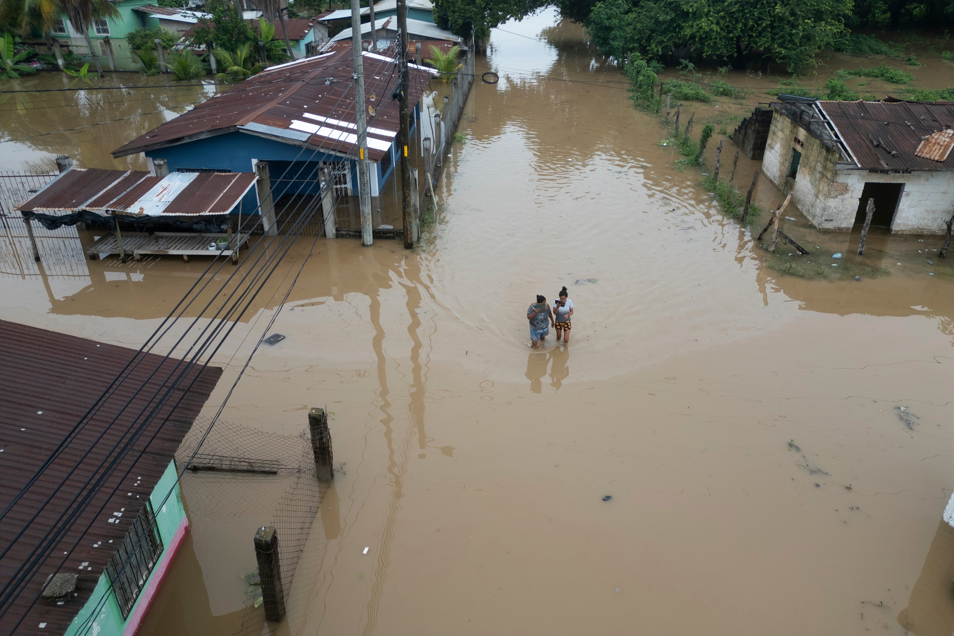
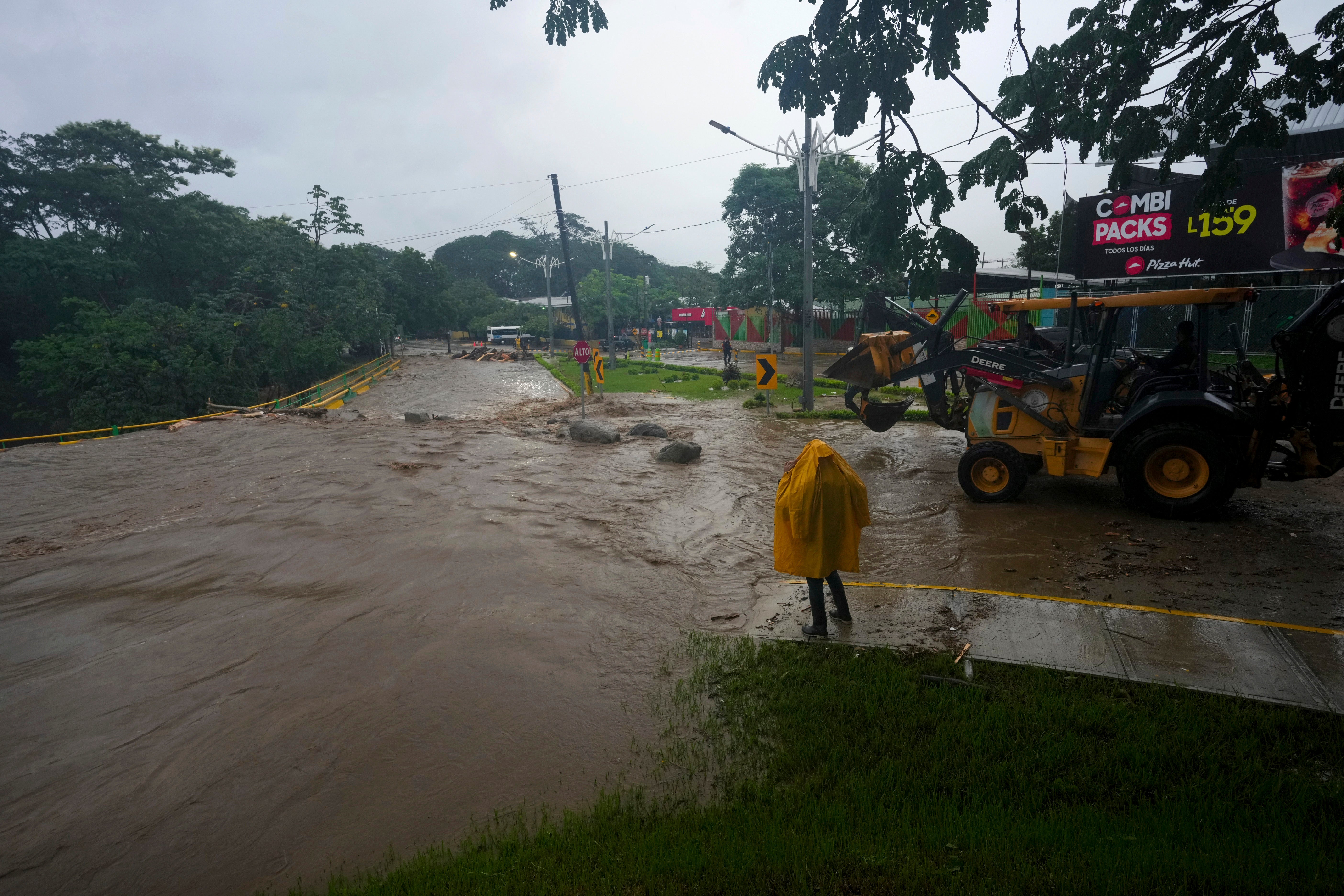
The system is also expected to bring up to three more inches of rain to Honduras on Monday, which saw major flooding over the weekend that trapped people in their homes and washed away roads. Sara had stalled there, slowly moving inland and dumping more than 40 inches of rain at some locations.
Other parts of Belize, El Salvador, Guatemala, Nicaragua and the Mexican State of Quintana Roo could see as many as five inches of rain.
The storm was initially expected to strengthen into a hurricane, but that forecast quickly altered as it moved west in the western Caribbean Sea. Sara weakened after it made landfall in Honduras and Belize.
Join our commenting forum
Join thought-provoking conversations, follow other Independent readers and see their replies
Comments