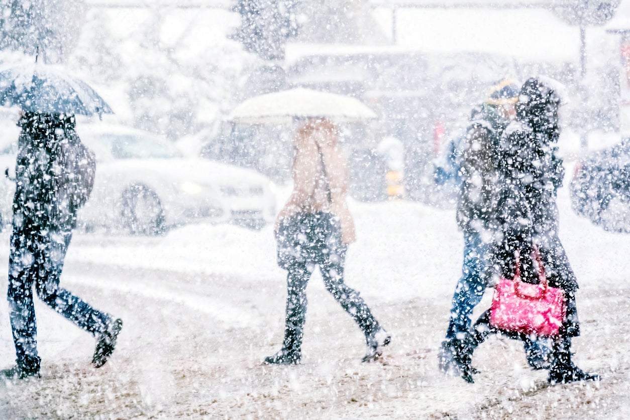
‘Major winter storm’ to cause power outages in Northeast and Mid-Atlantic this week, says National Weather Service
Travel disruption also expected, says weather service

Your support helps us to tell the story
From reproductive rights to climate change to Big Tech, The Independent is on the ground when the story is developing. Whether it's investigating the financials of Elon Musk's pro-Trump PAC or producing our latest documentary, 'The A Word', which shines a light on the American women fighting for reproductive rights, we know how important it is to parse out the facts from the messaging.
At such a critical moment in US history, we need reporters on the ground. Your donation allows us to keep sending journalists to speak to both sides of the story.
The Independent is trusted by Americans across the entire political spectrum. And unlike many other quality news outlets, we choose not to lock Americans out of our reporting and analysis with paywalls. We believe quality journalism should be available to everyone, paid for by those who can afford it.
Your support makes all the difference.A "major winter storm" is forecast to blast swathes of the Northeast and Mid-Atlantic this week, the National Weather Service (NWS) has said.
Heavy snow is expected west and north of the I-95 corridor in the Washington DC, Philadelphia, New York City, and Boston metropolitan areas.
Meanwhile, further south, "freezing rain and ice accumulations" are likely in northwest North Carolina and across much of southwest and central Virginia.
"Confidence is high that this winter storm will result in significant impacts including travel disruptions and power outages across much of the Mid-Atlantic and southern New England," the NWS said on Monday.
The storm formed over the west coast last week and is expected to hit the east coast by Wednesday night or early Thursday morning, according to the NWS.
"The heaviest snow and highest snowfall accumulation are dependent on the exact track of the storm, and small changes in where the storm tracks can lead to big changes in the amounts of snowfall for a given location," said Tyler Roys, a senior meteorologist at AccuWeather.
"However, with a track near the Mid-Atlantic and New England Coast looking more likely, the probability of the heaviest snow targeting parts of the mid-Atlantic and southern New England is increasing."
He added: "There is the potential for snow...from the Ohio Valley and eastern Great Lakes, through the mid-Atlantic and New England," Roys said.
The NWS said the "greatest uncertainty" is with the rain and snow line along and east of I-95, and how far northwest the heaviest snow progresses.
"We'll iron out these details over the next couple days," added the service.


Join our commenting forum
Join thought-provoking conversations, follow other Independent readers and see their replies
Comments