‘Things don’t look promising’: California primed for wildfires amid unusually dry weather
February saw record low rainfall across the state
Your support helps us to tell the story
From reproductive rights to climate change to Big Tech, The Independent is on the ground when the story is developing. Whether it's investigating the financials of Elon Musk's pro-Trump PAC or producing our latest documentary, 'The A Word', which shines a light on the American women fighting for reproductive rights, we know how important it is to parse out the facts from the messaging.
At such a critical moment in US history, we need reporters on the ground. Your donation allows us to keep sending journalists to speak to both sides of the story.
The Independent is trusted by Americans across the entire political spectrum. And unlike many other quality news outlets, we choose not to lock Americans out of our reporting and analysis with paywalls. We believe quality journalism should be available to everyone, paid for by those who can afford it.
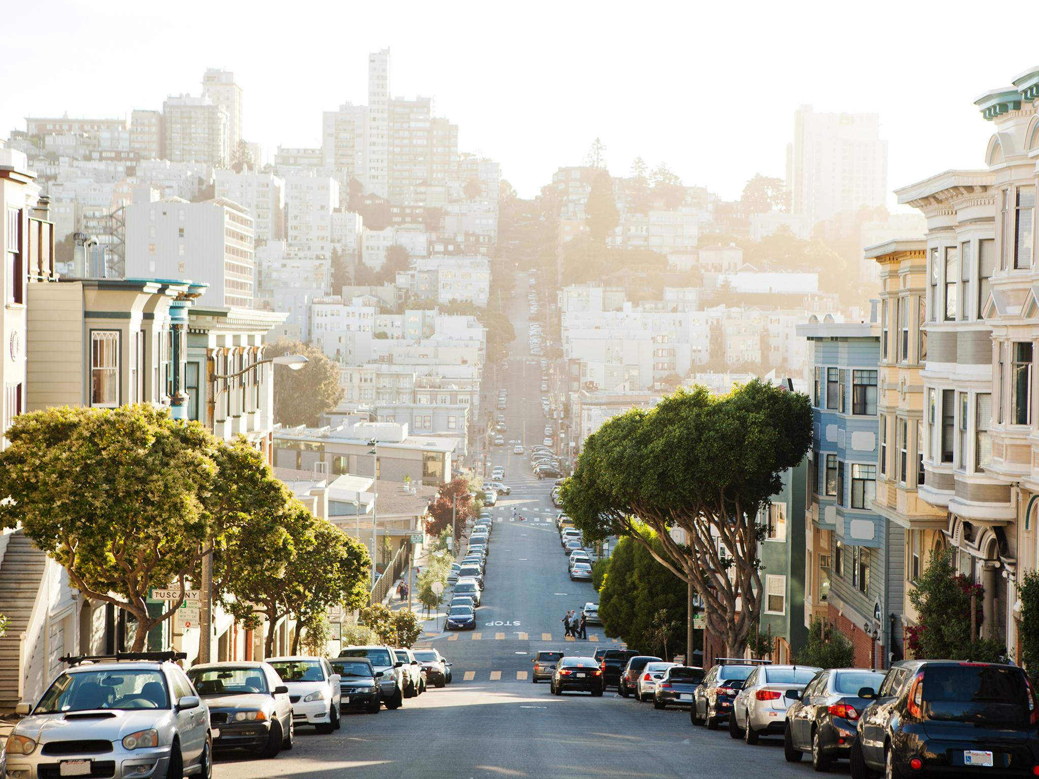
Your support makes all the difference.There wasn’t a drop of rain in downtown San Francisco during the month of February, something that hasn’t happened since 1864. Across northern California, many sites also recorded zero precipitation for the first time on record during what is typically the wettest month of the year.
Amid growing concerns about fire danger and an early start to fire season, the lack of precipitation in California has meteorologists watching weather models for hints of a change in the weather pattern.
The record-breaking month extends the dry start to 2020, which falls on the heels of two very wet years — 2017 and 2019 — which followed the historic drought of 2012-16.
Dan Cayan, a climate scientist at the Scripps Institution of Oceanography, who studies climate variability and change in California, said this year will almost certainly end up dry.
“It reinforces California’s historical record of having year-to-year precipitation variation that is the most volatile in the nation,” he said.
As the planet warms, the state’s precipitation patterns are expected to become more fickle, with increasing temperatures making droughts more severe while boosting the share of precipitation that falls as heavy downpours. Atmospheric rivers, narrow corridors of waterlogged air that deliver much of California’s annual rainfall each year, are projected to become more intense as the atmosphere continues to warm.
In addition to San Francisco, cities across northern California broke records after they received little rain last month. These locations include: Santa Rosa, Oakland, San Jose, Sacramento, Redding and Ukiah. The northern Sierra, an important region for California’s water supply, also recorded its lowest precipitation on record for the month.
Storms largely missed southern California as well, with only a trace of rain recorded at Los Angeles International Airport, tying with its February record.
“The combination of a very dry January and an even drier February made for one of the driest first two months of any calendar year on record across much of southwestern California,” a statement from the National Weather Service’s Los Angeles forecast office read.
The month was much warmer than normal, and last week, many long-standing daily temperature records were broken from San Francisco south to San Diego.
“February was already exceedingly unusual,” said Brian Garcia, the warning coordination meteorologist for the National Weather Service’s Bay Area forecast office. “If we were to go through March with no rain, that would be very unusual. That’d be an outlier.”
The dry stretch is familiar, and so is the hint of substantial rain in next week’s forecast.
Mr Garcia pored over downtown San Francisco’s weather records and noticed that, during dry years, there was often a rainfall spike in March, before it disappeared again for the rest of the season.
“It puts that little bit of an uncomfortable feeling in the pit of your stomach,” he said. “Is this a sign that we are sliding into another period of drought?”
Long, dry summers are a hallmark of California’s Mediterranean climate, which is governed by a nearby high-pressure centre that forms from warm subsiding air in the subtropics. The precipitation window is therefore only open for a limited season, with most of the state’s precipitation falling between October and April.
“Because California lies on the edge of the north Pacific storm track, it makes variability here very acute,” Mr Cayan said. Depending on the year, the storm track shifts north and south, meaning rainfall varies widely from year to year, and even within a single season.
Those fluctuations become even more pronounced as greenhouse gases and temperatures rise, according to climate model projections. These have been detailed in recent studies and in reports for California’s Fourth Climate Change Assessment, released in 2018.
“One of the biggest future changes that climate models indicate is a shift in the way precipitation occurs,” Mr Cayan said.
California can anticipate more dry days and fewer, more-intense storms to deliver its yearly water supply. Because the atmosphere is warmer and holds more moisture, precipitation will fall in bursts during richer atmospheric river storms, Mr Cayan said. And while changes in total precipitation are expected to be modest, winters are projected to get wetter, while the “shoulder seasons”, spring and autumn, become drier.
“As the planet warms, the subtropical dry zones are spreading poleward,” Mr Cayan said. That leaves fewer opportunities for storms to track south into California, particularly during the spring and fall.
Climate models also show that the driest years will be associated with a persistent ridge of high pressure off the West Coast, similar to the pattern that has prevented storms from reaching California in January and February 2020.
“Since 1998, we’ve been flirting with ‘on’ more than ‘off’ in terms of dryness,” Mr Cayan said, referring to the Southwest. A warmer atmosphere has amplified that, stealing moisture from soils and plants.
“It’s a harbinger of what the region may expect in the next several decades.”
The 2020 dry spell could break this month, though. Weather models are indicating a pattern shift in early to mid-March, when the Climate Prediction Centre shows at least a 50 per cent chance of above-average precipitation across much of the state.
The core of that moisture could again remain south of the San Francisco Bay area.
“We still have the potential for a miracle March, amazing April, and marvellous May,” Mr Garcia said. “It could still happen.” But, he added, “things don’t look promising.”
With most reservoirs near or above their average historical capacity, the state needs rain and snow less for its water supply this year than to keep the looming fire season under control. According to the latest wildfire outlook for southern California, fire season could ramp up in March.
On Friday, a small brushfire burned vigorously south of San Francisco. The record dry month, combined with this week’s record high temperatures, has sent vegetation moisture plummeting.
In the Bay Area and the Sacramento Valley, vegetation moisture levels are at a record low for this time of year, and comparable to dryness that would typically be seen in June or July.
The Washington Post
Join our commenting forum
Join thought-provoking conversations, follow other Independent readers and see their replies
Comments