The next Atlantic storm is brewing and could form later this week in the Caribbean
The next named storm of the 2024 Atlantic season will be named Sara
Your support helps us to tell the story
From reproductive rights to climate change to Big Tech, The Independent is on the ground when the story is developing. Whether it's investigating the financials of Elon Musk's pro-Trump PAC or producing our latest documentary, 'The A Word', which shines a light on the American women fighting for reproductive rights, we know how important it is to parse out the facts from the messaging.
At such a critical moment in US history, we need reporters on the ground. Your donation allows us to keep sending journalists to speak to both sides of the story.
The Independent is trusted by Americans across the entire political spectrum. And unlike many other quality news outlets, we choose not to lock Americans out of our reporting and analysis with paywalls. We believe quality journalism should be available to everyone, paid for by those who can afford it.
Your support makes all the difference.The next tropical storm in the Atlantic basin could form later this week as thunderstorms brew in the Caribbean.
AccuWeather hurricane experts said Monday that there is a “high risk” of tropical development in the region in the coming days. The forecasting company said it was closely monitoring showers and thunderstorms near Hispaniola and Puerto Rico that could develop into a late-season tropical storm.
“Get ready for Sara. We expect the next tropical storm to develop in the Caribbean this week,” said AccuWeather Chief On-Air Meteorologist Bernie Rayno.

“The development process is already underway. There are showers and thunderstorms around Hispaniola that will move west. The storms will get a boost on Wednesday when wind shear starts to fade away. A front will provide more upward motion by midweek, helping these storms organize.”
Sara would be the 18th named tropical cyclone of the 2024 season.
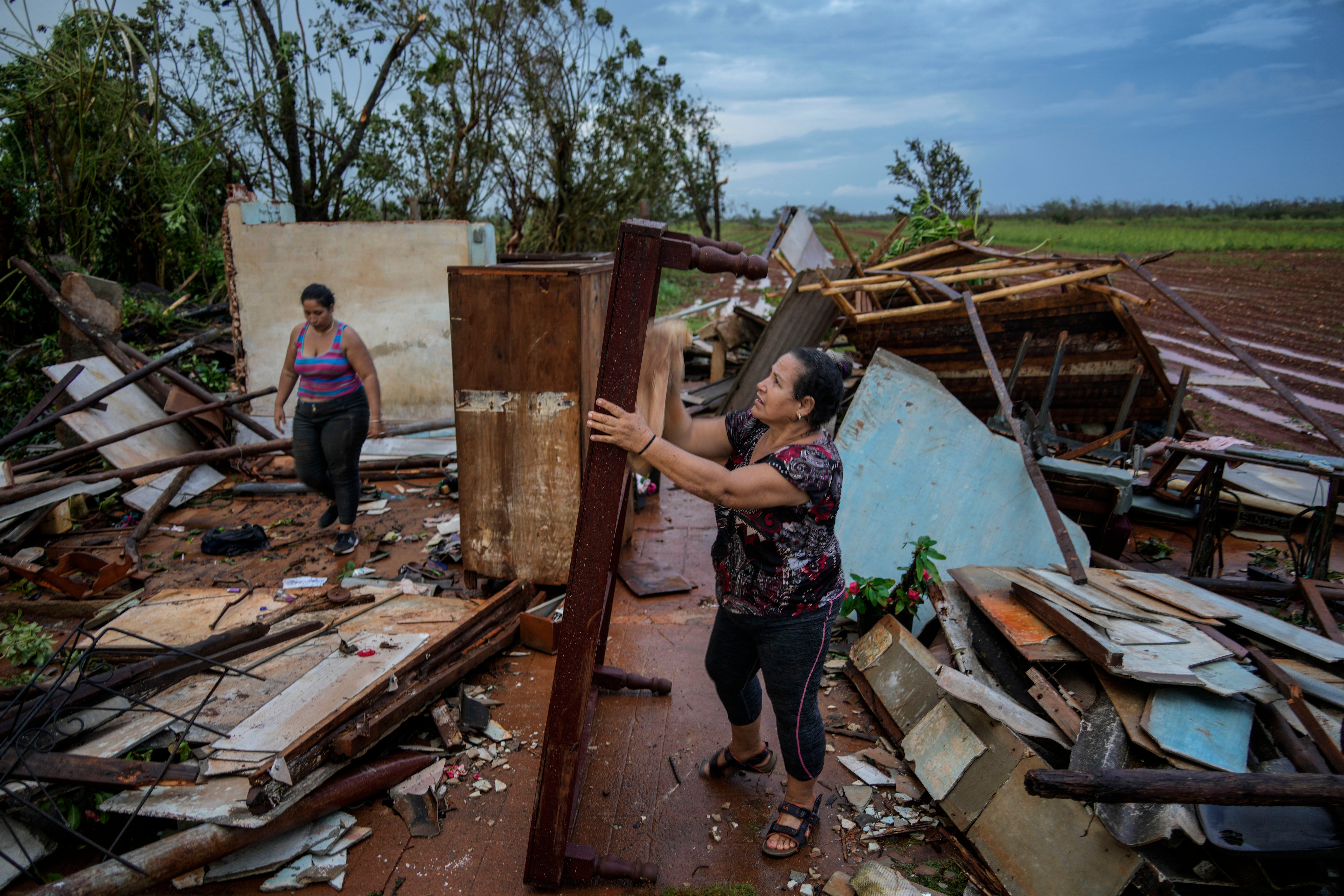
Last week, Rafael hit western Cuba as a Category 3 hurricane, knocking out its entire power grid. Only a few days later, eastern Cuba was rocked by an earthquake with a preliminary magnitude of 6.8.
Rafael brought dangerous and life-threatening surf and rip currents to beaches along the US Gulf Coast. Coastal hazards were still expected through Monday night.

Climate change is bringing hurricanes later into the year, with ocean water temperatures reaching record or near-record highs in the Gulf of Mexico. The normal Atlantic hurricane season runs through November 30.
“Don’t let your guard down just because the calendar says we’re heading into mid-November. Conditions and water temperatures in the tropics are still primed for tropical storms to form in the final weeks of hurricane season,” AccuWeather Lead Hurricane Expert Alex DaSilva warned. “History shows that Florida faces a higher risk of tropical impacts than any other state during the month of November.”
DaSilva said there are still “exceptionally” warm waters heading into mid-November.
However, AccuWeather noted there will be a zone of wind shear north of the Caribbean that will initially tend to prevent the northward movement of brewing storms in the Caribbean. That could, it noted, dissolve and allow any tropical storm to move.
The National Hurricane Center said that the system is expected to head westward during the next few days and that “environmental conditions appear conducive for gradual development.”
“A tropical depression could form late this week or this weekend while meandering over the western Caribbean Sea,” it said.

Join our commenting forum
Join thought-provoking conversations, follow other Independent readers and see their replies
Comments