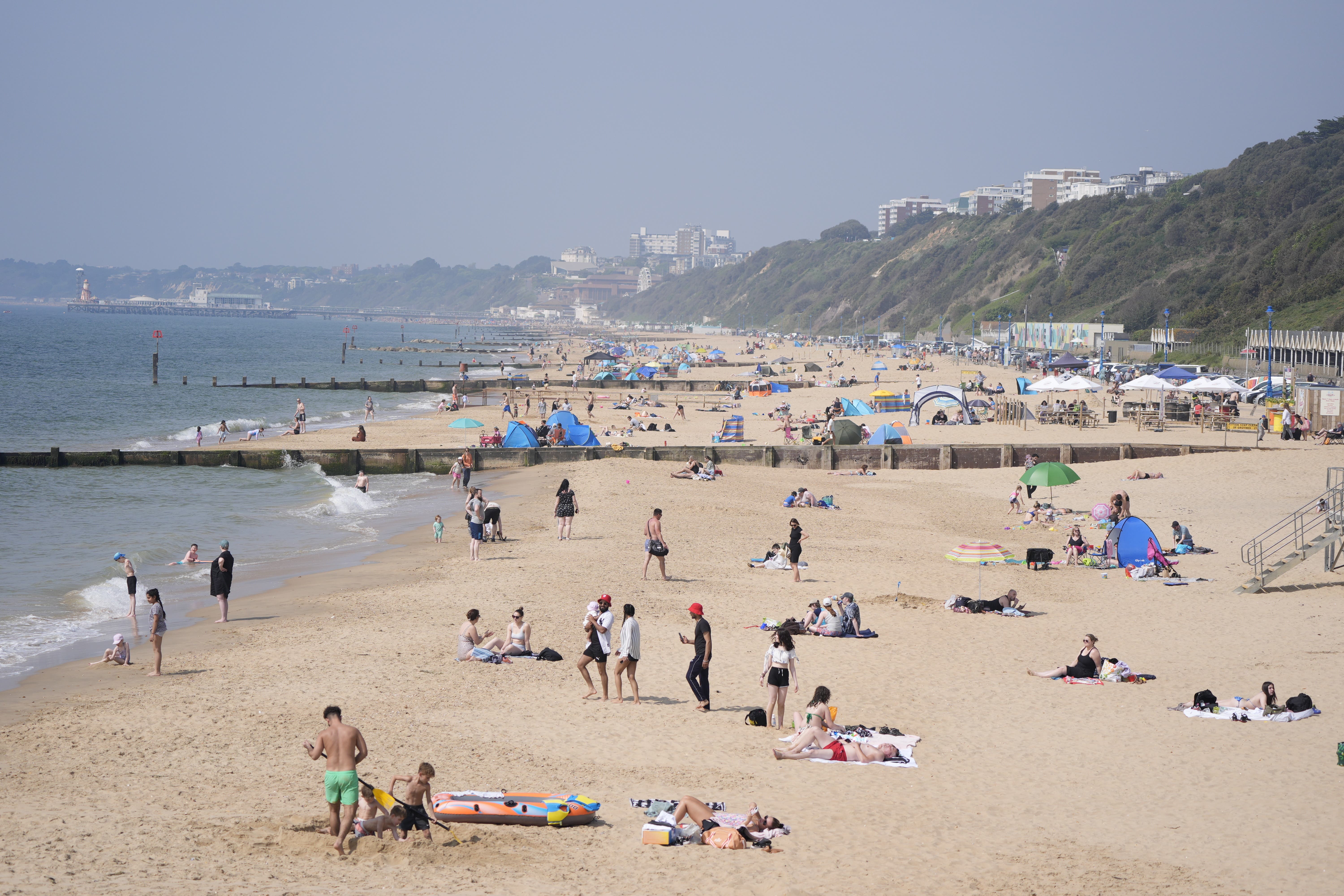
Record temperatures expected before thunderstorms bring end to fine weather
The mercury is expected to peak at around 25C on Saturday and 27C on Sunday.

Your support helps us to tell the story
From reproductive rights to climate change to Big Tech, The Independent is on the ground when the story is developing. Whether it's investigating the financials of Elon Musk's pro-Trump PAC or producing our latest documentary, 'The A Word', which shines a light on the American women fighting for reproductive rights, we know how important it is to parse out the facts from the messaging.
At such a critical moment in US history, we need reporters on the ground. Your donation allows us to keep sending journalists to speak to both sides of the story.
The Independent is trusted by Americans across the entire political spectrum. And unlike many other quality news outlets, we choose not to lock Americans out of our reporting and analysis with paywalls. We believe quality journalism should be available to everyone, paid for by those who can afford it.
Your support makes all the difference.The UK is expected to experience its hottest temperatures of the year so far this weekend before thunderstorms and heavy rain put an end to a week of sunshine on Sunday afternoon.
The Met Office said the mercury is expected to peak at around 25C on Saturday and 27C on Sunday.
Simon Partridge, a meteorologist at the Met Office, said: “There’s a good possibility that we could beat Thursday’s record temperatures today and just sneak over the 25C mark – we’re already seeing temperatures around 23 and a half degrees, surprisingly, across the central belt of Scotland.”
He said the warmest temperatures on Saturday afternoon are likely to be “along a corridor of clear skies and sunshine stretching up just north west of London” through the centre of England.
The UK recorded its highest temperature of the year on Thursday, with a peak of 24.6C in London’s St James’s Park, forecasters said. Some were expecting to see another record-breaking day on Friday, but temperatures across the country fell just short.
On Sunday, the record is likely to be broken again as areas of the UK experience warm, humid temperatures before thunderstorms and heavy rain hit parts of the country.
Mr Partridge said central and south-eastern parts of England are likely to be the hottest.
There are three yellow thunderstorm warnings in place for parts of the UK on Sunday. One covers most areas of the west of the UK, including the majority of Wales, where thunderstorms are expected between midday and 10pm. The second warning is for the western half of Northern Ireland between 11am and 7pm.
The third warning is for western parts of Scotland and runs between 2pm on Sunday to 4am on Monday. Mr Partridge said this warning is slightly different as more significant rainfall is expected.
People in areas with a yellow warning should expect some disruption, especially to travel. Spray and sudden flooding could lead to difficult driving conditions and there is a slight chance of power cuts, the Met Office said.