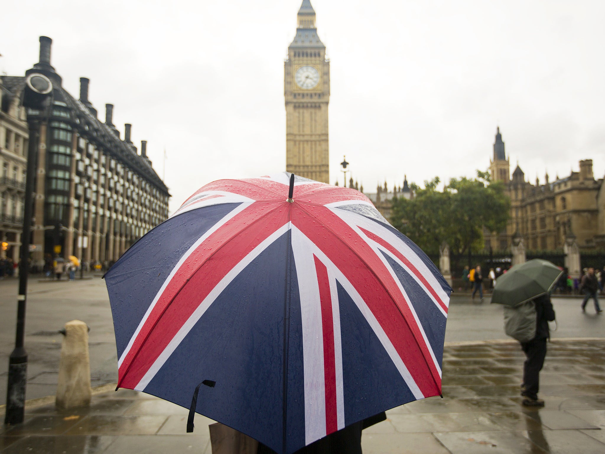
UK weather: Britain set for five-day heatwave (but only after after a week of rain and heavy winds)
Sunny spell expected to dry up rain-soaked southern England after heavy downpour

Your support helps us to tell the story
From reproductive rights to climate change to Big Tech, The Independent is on the ground when the story is developing. Whether it's investigating the financials of Elon Musk's pro-Trump PAC or producing our latest documentary, 'The A Word', which shines a light on the American women fighting for reproductive rights, we know how important it is to parse out the facts from the messaging.
At such a critical moment in US history, we need reporters on the ground. Your donation allows us to keep sending journalists to speak to both sides of the story.
The Independent is trusted by Americans across the entire political spectrum. And unlike many other quality news outlets, we choose not to lock Americans out of our reporting and analysis with paywalls. We believe quality journalism should be available to everyone, paid for by those who can afford it.
Your support makes all the difference.A heatwave is expected to bring blessed relief for commuters this weekend – but only after high winds and flooding has battered us for the rest of this week.
Up to 40mm of rain is expected to fall over southern parts of the country today from Cornwall to East Anglia with strong sweeping winds of up to 45 miles per hour.
The Met Office has issued yellow warnings for the South West, South East and east of England and warned drivers of deep water puddles forming on the roads as a result of downpours.
The rain will subside from tomorrow, however the whole country will be soaked yet again with another windy washout on Thursday before the storm clouds part for a mini-heatwave this weekend.
The miserable conditions are set to improve with a five-day unseasonably warm spell from Friday and forecasters are expecting highs of around 21C in the South, up to 18C in the North-east and around 17C in Scotland.
Laura Caldwell, a forecaster for MeteoGroup, said: "Heavy showers or rain and thundery downpours may occur across Kent and East Anglia.
"The rain is slow-moving and heavy in places and some areas could see some disruption."
Main routes into London are moving at snail's pace with two of three lanes closed due to flooding on the northbound A41 Hendon Way near the Brent Cross Flyover.
Flooding in Higham, Kent, caused severe delays of 25 minutes for rail commuters travelling between Strood and Gravesend while traffic was brought to a standstill in Lewknor, Oxfordshire, due to a fallen tree.
Commuters are advised to check traffic updates before travelling over the next few days.
October is already three times wetter than September with 45mm of rain in the first nine days compared to 16.5mm during the whole of last month.
The current wet weather front is sweeping over the south east of England from France with strong winds bearing south from the North East with thunder and lightning also predicted.
Join our commenting forum
Join thought-provoking conversations, follow other Independent readers and see their replies
Comments